Estimated Value: $369,342 - $403,000
4
Beds
3
Baths
1,864
Sq Ft
$204/Sq Ft
Est. Value
About This Home
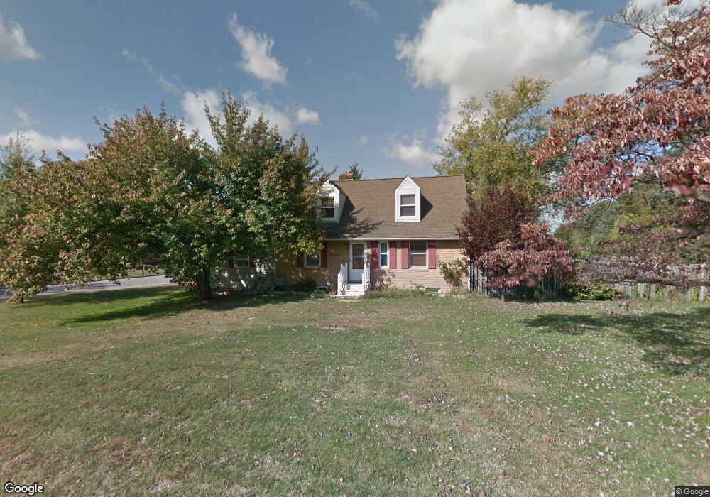
This home is located at 12 1st St, West Deptford, NJ 08086 and is currently estimated at $379,586, approximately $203 per square foot. 12 1st St is a home located in Gloucester County with nearby schools including Red Bank Elementary School, Green-Fields Elementary School, and Oakview Elementary School.
Ownership History
Date
Name
Owned For
Owner Type
Purchase Details
Closed on
Aug 31, 2009
Sold by
Damon Henry G and Damon Sharon
Bought by
Brown Michael A
Current Estimated Value
Home Financials for this Owner
Home Financials are based on the most recent Mortgage that was taken out on this home.
Original Mortgage
$140,625
Interest Rate
5.36%
Mortgage Type
New Conventional
Purchase Details
Closed on
Aug 8, 2002
Sold by
Salomon Brothers Realty Corp
Bought by
Damon Henry G
Home Financials for this Owner
Home Financials are based on the most recent Mortgage that was taken out on this home.
Original Mortgage
$103,410
Interest Rate
6.57%
Purchase Details
Closed on
Nov 26, 2001
Sold by
Myers James F and Myers Katherine M
Bought by
Salomon Brothers Realty Corp
Create a Home Valuation Report for This Property
The Home Valuation Report is an in-depth analysis detailing your home's value as well as a comparison with similar homes in the area
Home Values in the Area
Average Home Value in this Area
Purchase History
| Date | Buyer | Sale Price | Title Company |
|---|---|---|---|
| Brown Michael A | $187,500 | Elite Choice Title Llc | |
| Damon Henry G | $114,900 | Fidelity National Title Ins | |
| Salomon Brothers Realty Corp | -- | -- |
Source: Public Records
Mortgage History
| Date | Status | Borrower | Loan Amount |
|---|---|---|---|
| Previous Owner | Brown Michael A | $140,625 | |
| Previous Owner | Damon Henry G | $103,410 |
Source: Public Records
Tax History Compared to Growth
Tax History
| Year | Tax Paid | Tax Assessment Tax Assessment Total Assessment is a certain percentage of the fair market value that is determined by local assessors to be the total taxable value of land and additions on the property. | Land | Improvement |
|---|---|---|---|---|
| 2025 | $6,233 | $178,500 | $52,900 | $125,600 |
| 2024 | $6,153 | $178,500 | $52,900 | $125,600 |
| 2023 | $6,153 | $178,500 | $52,900 | $125,600 |
| 2022 | $6,124 | $178,500 | $52,900 | $125,600 |
| 2021 | $5,872 | $178,500 | $52,900 | $125,600 |
| 2020 | $6,089 | $178,500 | $52,900 | $125,600 |
| 2019 | $5,919 | $178,500 | $52,900 | $125,600 |
| 2018 | $5,758 | $178,500 | $52,900 | $125,600 |
| 2017 | $5,625 | $178,500 | $52,900 | $125,600 |
| 2016 | $5,467 | $178,500 | $52,900 | $125,600 |
| 2015 | $5,209 | $178,500 | $52,900 | $125,600 |
| 2014 | $4,950 | $178,500 | $52,900 | $125,600 |
Source: Public Records
Map
Nearby Homes
- 247 Crown Point Rd
- 97 Church St
- 157 Robin Dr
- 232 Snowy Egret Ln
- 253 Snowy Egret Ln
- 125 Robin Dr
- 433 Crown Point Rd
- 439 Crown Point Rd
- 740 Carter Hill Dr
- 64 Tilden Rd
- 47 Pelican Place Unit 47
- 67 Pelican Place
- 640 Worcester Dr
- 10 Kennedy Ct
- 124 Brent Ct
- 863 Doncaster Dr
- 121 Cape May Ave
- 536 Saxon Dr
- 400 Audubon Ave
- 1810 Fernwood Dr