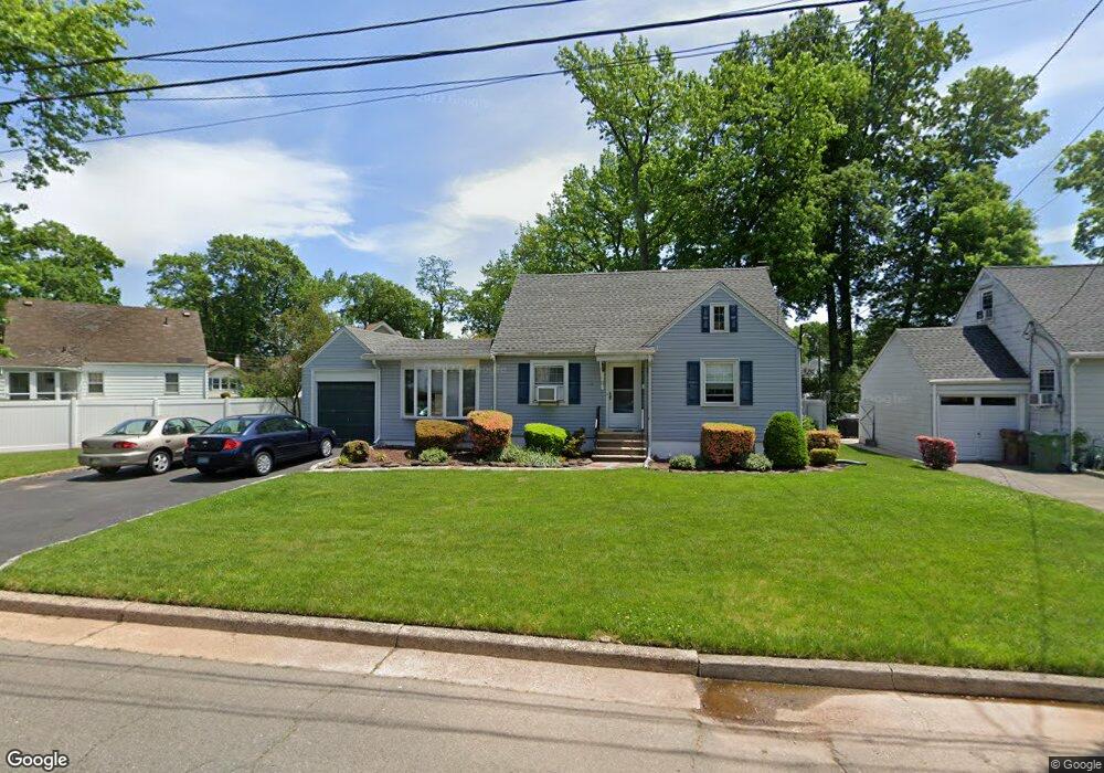
12 5th Ave Linden, NJ 07036
Estimated Value: $498,636 - $585,000
Studio
--
Bath
1,040
Sq Ft
$516/Sq Ft
Est. Value
About This Home
This home is located at 12 5th Ave, Linden, NJ 07036 and is currently estimated at $536,659, approximately $516 per square foot. 12 5th Ave is a home located in Union County with nearby schools including Number 10, Myles J. McManus Middle School, and Linden High School.
Ownership History
Date
Name
Owned For
Owner Type
Purchase Details
Closed on
Dec 16, 1999
Sold by
Donahue Joseph Keith and Donahue Barbara Ann
Bought by
Deitcher Shlomo and Deitcher Judith S
Current Estimated Value
Home Financials for this Owner
Home Financials are based on the most recent Mortgage that was taken out on this home.
Original Mortgage
$138,800
Outstanding Balance
$43,287
Interest Rate
7.81%
Estimated Equity
$493,372
Create a Home Valuation Report for This Property
The Home Valuation Report is an in-depth analysis detailing your home's value as well as a comparison with similar homes in the area
Home Values in the Area
Average Home Value in this Area
Purchase History
| Date | Buyer | Sale Price | Title Company |
|---|---|---|---|
| Deitcher Shlomo | $173,500 | -- |
Source: Public Records
Mortgage History
| Date | Status | Borrower | Loan Amount |
|---|---|---|---|
| Open | Deitcher Shlomo | $138,800 |
Source: Public Records
Tax History
| Year | Tax Paid | Tax Assessment Tax Assessment Total Assessment is a certain percentage of the fair market value that is determined by local assessors to be the total taxable value of land and additions on the property. | Land | Improvement |
|---|---|---|---|---|
| 2025 | $10,527 | $149,700 | $72,800 | $76,900 |
| 2024 | $10,296 | $149,700 | $72,800 | $76,900 |
| 2023 | $10,296 | $149,700 | $72,800 | $76,900 |
| 2022 | $10,350 | $149,700 | $72,800 | $76,900 |
| 2021 | $10,403 | $149,700 | $72,800 | $76,900 |
| 2020 | $10,347 | $149,700 | $72,800 | $76,900 |
| 2019 | $10,313 | $149,700 | $72,800 | $76,900 |
| 2018 | $10,310 | $149,700 | $72,800 | $76,900 |
| 2017 | $10,087 | $149,700 | $72,800 | $76,900 |
| 2016 | $9,769 | $149,700 | $72,800 | $76,900 |
| 2015 | $9,397 | $149,700 | $72,800 | $76,900 |
| 2014 | $9,214 | $149,700 | $72,800 | $76,900 |
Source: Public Records
Map
Nearby Homes
- 38 Pallant Ave
- 57 Berlant Ave
- 2611 N Wood Ave
- 120 Springfield Rd
- 37 Raritan Rd
- 2513 N Wood Ave
- 538 Dietz St
- 540 W 7th Ave
- 826 Amsterdam Ave
- 13 Independence Dr
- 14 Colonial Rd
- 63 Elmwood Terrace
- 454 W 6th Ave
- 333 Livingston Rd
- 431 Raritan Rd
- 123 Robbinwood Terrace
- 415 Wheatsheaf Rd
- 414 Martin St
- 620 Prosper Ave
- 501 Centennial Ave
Your Personal Tour Guide
Ask me questions while you tour the home.