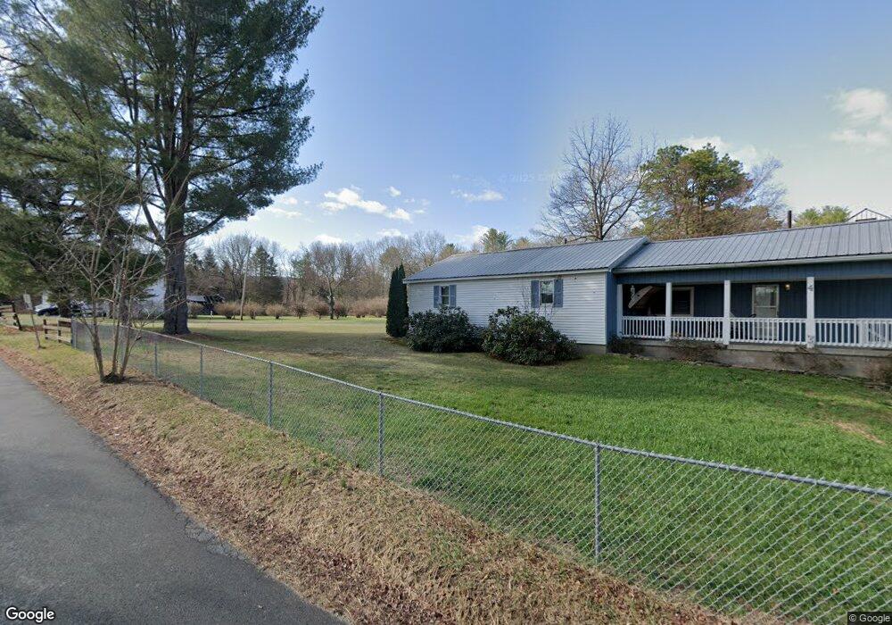
12 Airport Rd Port Jervis, NY 12771
Estimated Value: $267,000 - $307,000
3
Beds
3
Baths
1,152
Sq Ft
$244/Sq Ft
Est. Value
About This Home
This home is located at 12 Airport Rd, Port Jervis, NY 12771 and is currently estimated at $281,245, approximately $244 per square foot. 12 Airport Rd is a home located in Orange County with nearby schools including Port Jervis High School and New Life Christian Day School.
Ownership History
Date
Name
Owned For
Owner Type
Purchase Details
Closed on
Oct 4, 2021
Sold by
Gray Marcus B and Lamina-Gray Jessica
Bought by
Jarillo-Hernande Jeanette
Current Estimated Value
Purchase Details
Closed on
Oct 12, 2018
Sold by
Cecchini Geraldine
Bought by
Gray Marcus B and Gray Jessica L
Home Financials for this Owner
Home Financials are based on the most recent Mortgage that was taken out on this home.
Original Mortgage
$114,000
Interest Rate
4.6%
Mortgage Type
Purchase Money Mortgage
Purchase Details
Closed on
Mar 24, 2005
Sold by
Calderin As Ref Noreen
Bought by
Cecchini Ronald D
Create a Home Valuation Report for This Property
The Home Valuation Report is an in-depth analysis detailing your home's value as well as a comparison with similar homes in the area
Home Values in the Area
Average Home Value in this Area
Purchase History
| Date | Buyer | Sale Price | Title Company |
|---|---|---|---|
| Jarillo-Hernande Jeanette | $200,000 | None Available | |
| Gray Marcus B | $121,000 | -- | |
| Cecchini Ronald D | $92,000 | Robert A Onofry |
Source: Public Records
Mortgage History
| Date | Status | Borrower | Loan Amount |
|---|---|---|---|
| Previous Owner | Gray Marcus B | $114,000 |
Source: Public Records
Tax History Compared to Growth
Tax History
| Year | Tax Paid | Tax Assessment Tax Assessment Total Assessment is a certain percentage of the fair market value that is determined by local assessors to be the total taxable value of land and additions on the property. | Land | Improvement |
|---|---|---|---|---|
| 2024 | $5,412 | $83,200 | $10,400 | $72,800 |
| 2023 | $5,412 | $83,200 | $10,400 | $72,800 |
| 2022 | $5,366 | $83,200 | $10,400 | $72,800 |
| 2021 | $5,292 | $83,200 | $10,400 | $72,800 |
| 2020 | $4,964 | $75,700 | $10,400 | $65,300 |
| 2019 | $5,111 | $75,700 | $10,400 | $65,300 |
| 2018 | $5,111 | $75,700 | $10,400 | $65,300 |
| 2017 | $5,070 | $75,700 | $10,400 | $65,300 |
| 2016 | $5,067 | $75,700 | $10,400 | $65,300 |
| 2015 | -- | $75,700 | $10,400 | $65,300 |
| 2014 | -- | $75,700 | $10,400 | $65,300 |
Source: Public Records
Map
Nearby Homes
- 98 Airport Rd
- 16 Airport Rd
- 16 Airport Rd Unit 1
- 16 Airport Rd Unit 2
- 20 Airport Rd
- 16 Airport Rd
- 20 Airport Rd
- 12 Airport Rd
- 4 Airport Rd
- 4 Orchid Ln
- 2 Fulmer Rd
- 203 Route 209 Unit US
- 201 Route 209 Unit US
- 209 Route 209 Unit US
- 239 Route 209 Unit US
- 237 Route 209 Unit US
- 235 Route 209 Unit US
- 233 Route 209 Unit US
- 219 Route 209 Unit US
- 217 Route 209 Unit US