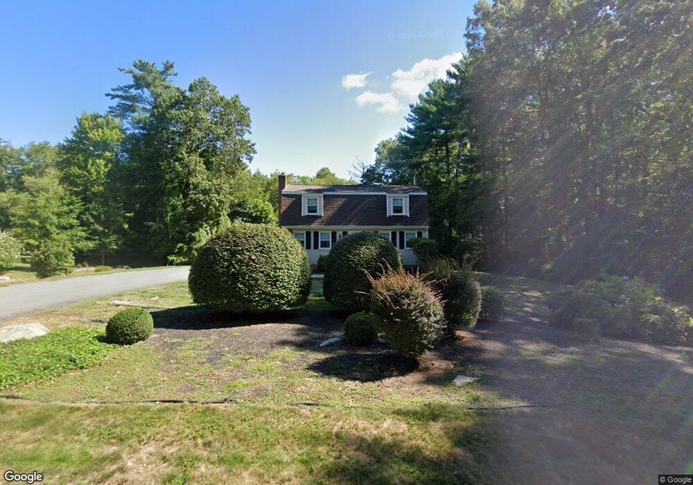
12 Algonquin Way East Freetown, MA 02717
Estimated Value: $545,000 - $747,000
5
Beds
3
Baths
1,615
Sq Ft
$390/Sq Ft
Est. Value
About This Home
This home is located at 12 Algonquin Way, East Freetown, MA 02717 and is currently estimated at $630,525, approximately $390 per square foot. 12 Algonquin Way is a home located in Bristol County with nearby schools including Freetown Elementary School, George R Austin Intermediate School, and Freetown-Lakeville Middle School.
Ownership History
Date
Name
Owned For
Owner Type
Purchase Details
Closed on
Dec 2, 2015
Sold by
Wood James H and Wood Elaine F
Bought by
Wood Elaine F and Wood James H
Current Estimated Value
Create a Home Valuation Report for This Property
The Home Valuation Report is an in-depth analysis detailing your home's value as well as a comparison with similar homes in the area
Home Values in the Area
Average Home Value in this Area
Purchase History
| Date | Buyer | Sale Price | Title Company |
|---|---|---|---|
| Wood Elaine F | -- | -- |
Source: Public Records
Tax History Compared to Growth
Tax History
| Year | Tax Paid | Tax Assessment Tax Assessment Total Assessment is a certain percentage of the fair market value that is determined by local assessors to be the total taxable value of land and additions on the property. | Land | Improvement |
|---|---|---|---|---|
| 2025 | $4,557 | $459,800 | $180,500 | $279,300 |
| 2024 | $4,528 | $434,100 | $170,300 | $263,800 |
| 2023 | $4,422 | $412,900 | $153,300 | $259,600 |
| 2022 | $4,216 | $349,600 | $129,900 | $219,700 |
| 2021 | $4,042 | $318,300 | $118,100 | $200,200 |
| 2020 | $4,014 | $308,300 | $113,600 | $194,700 |
| 2019 | $3,794 | $288,500 | $108,200 | $180,300 |
| 2018 | $3,590 | $269,700 | $108,200 | $161,500 |
| 2017 | $3,519 | $264,200 | $108,200 | $156,000 |
| 2016 | $3,360 | $256,700 | $105,100 | $151,600 |
| 2015 | $3,274 | $253,800 | $105,100 | $148,700 |
| 2014 | $3,279 | $260,000 | $102,900 | $157,100 |
Source: Public Records
Map
Nearby Homes
- 144 Chace Rd
- 150 Quanapoag Rd
- Lot 2/3 Quanapoag Rd
- 0 Costa Dr
- 599 Quanapoag Rd
- 195 Slab Bridge Rd
- 1475 Braley Rd Unit 17
- 13 Luscomb Ln
- 16 Swallow St
- 4597 Acushnet Ave
- 1069 Cherokee St
- 64 Blaze Rd
- 300 High Hill Rd
- 319 Northwest St
- 210 Heritage Dr
- 34 Poplar Rd
- 145 Heritage Dr
- ES Phillips Rd
- 24 Bells Brook Rd
- 50 Blueberry Dr
- 14 Algonquin Way
- 10 Algonquin Way
- 11 Algonquin Way
- 8 Algonquin Way
- 9 Algonquin Way
- 13 Algonquin Way
- 16 Algonquin Way
- 7 Algonquin Way
- 15 Algonquin Way
- 6 Algonquin Way
- 18 Algonquin Way
- 139 Bullock Rd
- 4 Wamsutta Way
- 137 Bullock Rd
- 152 Chipaway Rd
- 5 Algonquin Way
- 4 Algonquin Way
- 135 Bullock Rd
- 133 Bullock Rd
- 143 Bullock Rd