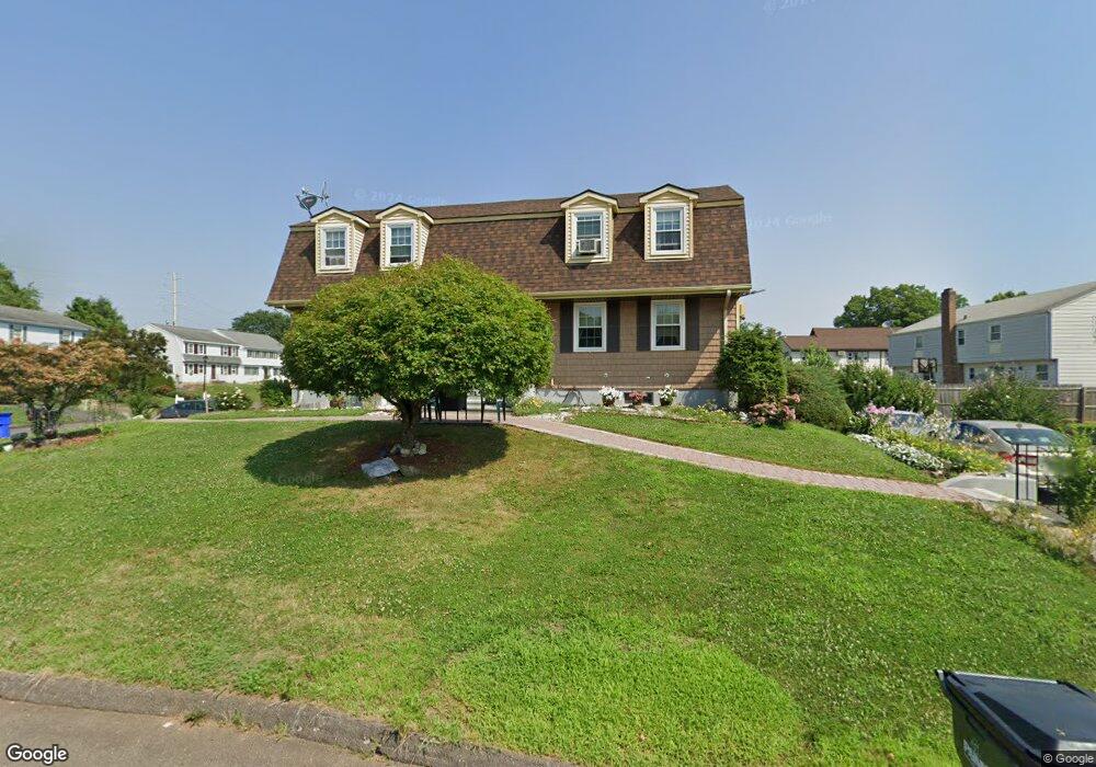
12 Alison Ln Unit 14 Wethersfield, CT 06109
Estimated Value: $499,000 - $537,000
4
Beds
4
Baths
2,464
Sq Ft
$211/Sq Ft
Est. Value
About This Home
This home is located at 12 Alison Ln Unit 14, Wethersfield, CT 06109 and is currently estimated at $519,563, approximately $210 per square foot. 12 Alison Ln Unit 14 is a home located in Hartford County with nearby schools including Alfred W. Hanmer School, Silas Deane Middle School, and Wethersfield High School.
Ownership History
Date
Name
Owned For
Owner Type
Purchase Details
Closed on
Jul 10, 2000
Sold by
Maulouganes Beverly G
Bought by
Gajraj Cecil B and Ramruys Patricia
Current Estimated Value
Home Financials for this Owner
Home Financials are based on the most recent Mortgage that was taken out on this home.
Original Mortgage
$145,706
Interest Rate
8.5%
Create a Home Valuation Report for This Property
The Home Valuation Report is an in-depth analysis detailing your home's value as well as a comparison with similar homes in the area
Home Values in the Area
Average Home Value in this Area
Purchase History
| Date | Buyer | Sale Price | Title Company |
|---|---|---|---|
| Gajraj Cecil B | $150,000 | -- |
Source: Public Records
Mortgage History
| Date | Status | Borrower | Loan Amount |
|---|---|---|---|
| Closed | Gajraj Cecil B | $78,601 | |
| Closed | Gajraj Cecil B | $106,850 | |
| Closed | Gajraj Cecil B | $145,398 | |
| Closed | Gajraj Cecil B | $145,706 |
Source: Public Records
Tax History
| Year | Tax Paid | Tax Assessment Tax Assessment Total Assessment is a certain percentage of the fair market value that is determined by local assessors to be the total taxable value of land and additions on the property. | Land | Improvement |
|---|---|---|---|---|
| 2025 | $12,957 | $314,330 | $80,950 | $233,380 |
| 2024 | $8,013 | $185,400 | $65,110 | $120,290 |
| 2023 | $7,746 | $185,400 | $65,110 | $120,290 |
| 2022 | $7,616 | $185,400 | $65,110 | $120,290 |
| 2021 | $7,540 | $185,400 | $65,110 | $120,290 |
| 2020 | $7,544 | $185,400 | $65,110 | $120,290 |
| 2019 | $7,553 | $185,400 | $65,110 | $120,290 |
| 2018 | $7,732 | $189,600 | $62,900 | $126,700 |
| 2017 | $7,540 | $189,600 | $62,900 | $126,700 |
| 2016 | $7,307 | $189,600 | $62,900 | $126,700 |
| 2015 | $7,241 | $189,600 | $62,900 | $126,700 |
| 2014 | $6,966 | $189,600 | $62,900 | $126,700 |
Source: Public Records
Map
Nearby Homes
- 195 Middletown Ave
- 119 Coleman Rd
- 108 Chamberlain Rd
- 35 Stillwold Dr
- 38 Wheeler Rd
- 91 Somerset St
- 87 Somerset St
- 137 Dale Rd
- 89 Merriman Rd
- 25 Sutton Rd
- 455 Brimfield Rd
- 13 Robbins Ln Unit B
- 72 Concord Dr
- 50 Concord Dr Unit 50
- 1610 Silas Deane Hwy
- 22 Winesap Cir Unit 22
- 116 Wells Farm Dr
- 3 Colonial Dr Unit C
- 59 Chapin Ave
- 18 Avalon Place
- 26 Alison Ln Unit 28
- 26-28 Alison Ln
- 241 Middletown Ave Unit 241-243
- 241 Middletown Ave Unit 243
- 241 Middletown Ave Unit 1ST
- 241 Middletown Ave Unit 241
- 9 Alison Ln Unit 11
- 19 Alison Ln
- 27 Alison Ln Unit 29
- 32 Alison Ln Unit 34
- 247 Middletown Ave
- 17 Alison Ln Unit 19
- 23 Alison Ln Unit 25
- 13 Lembo Dr
- 235 Middletown Ave Unit 237
- 257 Middletown Ave
- 229 Middletown Ave Unit 231
- 38 Alison Ln
- 36 Alison Ln Unit 38
- 79 Lembo Dr
Your Personal Tour Guide
Ask me questions while you tour the home.