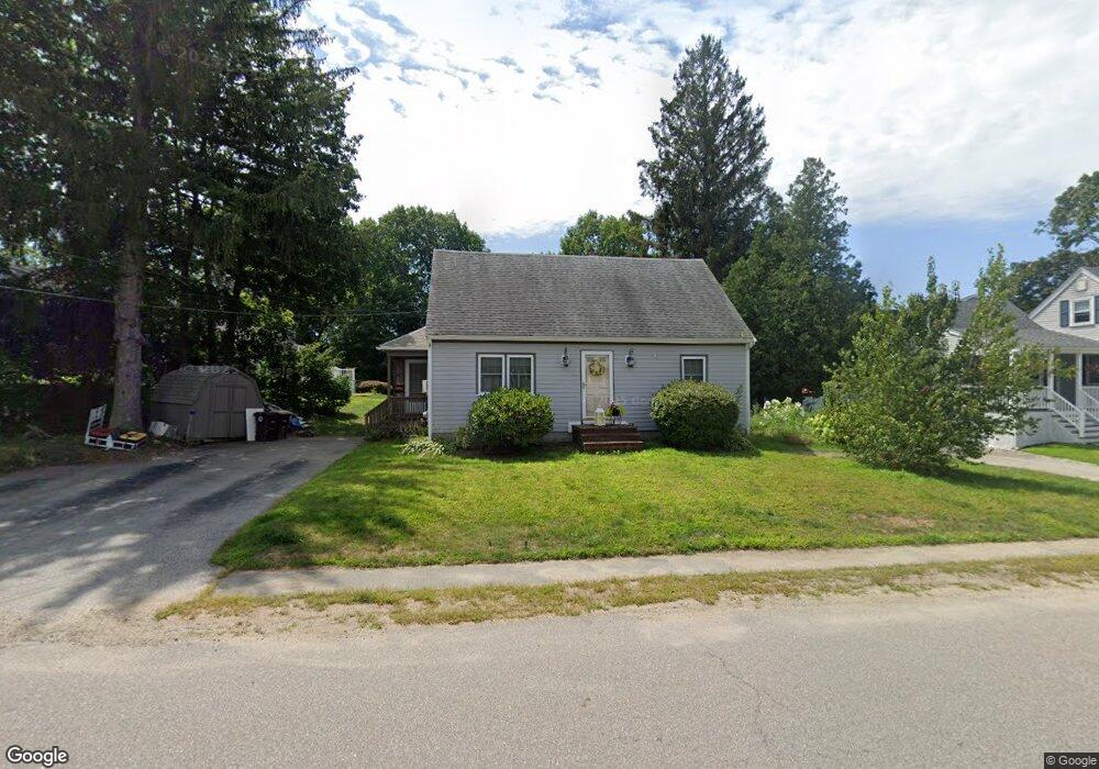
12 Apple Tree Ln Weymouth, MA 02188
Weymouth Landing NeighborhoodEstimated Value: $628,096 - $675,000
Studio
2
Baths
1,566
Sq Ft
$420/Sq Ft
Est. Value
About This Home
This home is located at 12 Apple Tree Ln, Weymouth, MA 02188 and is currently estimated at $657,024, approximately $419 per square foot. 12 Apple Tree Ln is a home located in Norfolk County with nearby schools including Frederick C Murphy, Abigail Adams Middle School, and Weymouth Middle School Chapman.
Ownership History
Date
Name
Owned For
Owner Type
Purchase Details
Closed on
Apr 28, 1995
Sold by
Mingolelli Richard D and Mingolelli Anne M
Bought by
Rizzo Alfred A and Rizzo Nancy S
Current Estimated Value
Create a Home Valuation Report for This Property
The Home Valuation Report is an in-depth analysis detailing your home's value as well as a comparison with similar homes in the area
Home Values in the Area
Average Home Value in this Area
Purchase History
| Date | Buyer | Sale Price | Title Company |
|---|---|---|---|
| Rizzo Alfred A | $148,500 | -- |
Source: Public Records
Mortgage History
| Date | Status | Borrower | Loan Amount |
|---|---|---|---|
| Open | Rizzo Alfred A | $50,000 | |
| Open | Rizzo Alfred A | $192,000 | |
| Closed | Rizzo Alfred A | $135,300 |
Source: Public Records
Tax History
| Year | Tax Paid | Tax Assessment Tax Assessment Total Assessment is a certain percentage of the fair market value that is determined by local assessors to be the total taxable value of land and additions on the property. | Land | Improvement |
|---|---|---|---|---|
| 2025 | $5,982 | $592,300 | $225,800 | $366,500 |
| 2024 | $5,903 | $574,800 | $215,000 | $359,800 |
| 2023 | $5,565 | $532,500 | $199,100 | $333,400 |
| 2022 | $5,462 | $476,600 | $184,400 | $292,200 |
| 2021 | $4,980 | $424,200 | $184,400 | $239,800 |
| 2020 | $4,727 | $396,600 | $184,400 | $212,200 |
| 2019 | $4,612 | $380,500 | $177,300 | $203,200 |
| 2018 | $4,499 | $359,900 | $168,800 | $191,100 |
| 2017 | $4,394 | $343,000 | $160,800 | $182,200 |
| 2016 | $4,224 | $330,000 | $154,600 | $175,400 |
| 2015 | $3,994 | $309,600 | $147,600 | $162,000 |
| 2014 | $3,745 | $281,600 | $137,400 | $144,200 |
Source: Public Records
Map
Nearby Homes
- 107 Summer St
- 82 Lester Ln
- 33 Congress St
- 15 Summer St
- 16 Lindbergh Ave
- 19 Vine St Unit 3
- 19 Vine St Unit 2
- 114 Broad St Unit D
- 11 Richmond St
- 25 Richmond St
- 122 Washington St Unit Twenty-two
- 46 Roosevelt Rd
- 37 Lantern Ln
- 41 Lantern Ln
- 51 Faxon St
- 501 Commerce Dr Unit 2310
- 31 Doris Rd
- 116 Greenvale Ave
- 298 Lisle St
- 747 Middle St
- 20 Apple Tree Ln
- 11 Apple Tree Ln
- 197 Summer St
- 19 Apple Tree Ln
- 181 Summer St
- 8 Lone Pine Path
- 179 Summer St
- 179 Summer St Unit 2
- 179 Summer St Unit 3
- 1 Judson Rd
- 201 Summer St
- 7 Lone Pine Path
- 14 Lone Pine Path
- 209 Summer St
- 215 Summer St
- 3 Judson Rd
- 188 Summer St Unit 9
- 188 Summer St Unit 8
- 188 Summer St Unit 7
- 188 Summer St Unit 6
Your Personal Tour Guide
Ask me questions while you tour the home.