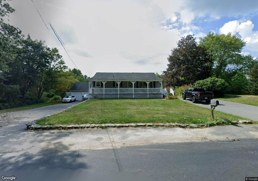
12 Arbor St Lunenburg, MA 01462
Estimated Value: $481,000 - $578,000
3
Beds
2
Baths
1,120
Sq Ft
$472/Sq Ft
Est. Value
About This Home
This home is located at 12 Arbor St, Lunenburg, MA 01462 and is currently estimated at $528,903, approximately $472 per square foot. 12 Arbor St is a home located in Worcester County with nearby schools including Lunenburg Primary School and Lunenburg High School.
Ownership History
Date
Name
Owned For
Owner Type
Purchase Details
Closed on
Mar 31, 2023
Sold by
Braman Rt and Braman
Bought by
Pajari Luke E and Pajari Jake W
Current Estimated Value
Home Financials for this Owner
Home Financials are based on the most recent Mortgage that was taken out on this home.
Original Mortgage
$399,000
Outstanding Balance
$385,577
Interest Rate
6.32%
Mortgage Type
Purchase Money Mortgage
Estimated Equity
$143,326
Purchase Details
Closed on
Aug 16, 2004
Sold by
Braman Carole and Braman Roy E
Bought by
Braman Rt and Braman
Create a Home Valuation Report for This Property
The Home Valuation Report is an in-depth analysis detailing your home's value as well as a comparison with similar homes in the area
Home Values in the Area
Average Home Value in this Area
Purchase History
| Date | Buyer | Sale Price | Title Company |
|---|---|---|---|
| Pajari Luke E | $420,000 | None Available | |
| Braman Rt | -- | -- | |
| Braman Rt | -- | -- |
Source: Public Records
Mortgage History
| Date | Status | Borrower | Loan Amount |
|---|---|---|---|
| Open | Pajari Luke E | $399,000 | |
| Previous Owner | Braman Rt | $100,000 | |
| Previous Owner | Braman Rt | $126,000 | |
| Previous Owner | Braman Rt | $112,500 |
Source: Public Records
Tax History
| Year | Tax Paid | Tax Assessment Tax Assessment Total Assessment is a certain percentage of the fair market value that is determined by local assessors to be the total taxable value of land and additions on the property. | Land | Improvement |
|---|---|---|---|---|
| 2025 | $6,621 | $461,100 | $148,900 | $312,200 |
| 2024 | $6,170 | $437,600 | $140,500 | $297,100 |
| 2023 | $6,086 | $416,300 | $127,700 | $288,600 |
| 2022 | $5,767 | $335,500 | $106,600 | $228,900 |
| 2020 | $5,619 | $310,100 | $106,300 | $203,800 |
| 2019 | $5,443 | $291,400 | $100,200 | $191,200 |
| 2018 | $5,073 | $257,500 | $97,800 | $159,700 |
| 2017 | $4,849 | $242,700 | $93,700 | $149,000 |
| 2016 | $4,638 | $236,500 | $89,300 | $147,200 |
| 2015 | $4,203 | $229,400 | $84,900 | $144,500 |
Source: Public Records
Map
Nearby Homes
- 12 Cortland Cir Unit 12
- 35 Leominster Rd
- 91 Valley Rd
- 167 S Row Rd
- 110 Burrage St
- 36 Gilchrest St
- 63 Holman St
- 319 Highland St
- 711 Massachusetts Ave Unit 2
- 309 Reservoir Rd
- 601 Flat Hill Rd
- 146-148 Kilburn St
- 11 Longwood Dr
- 80 W Townsend Rd
- 365 Hollis Rd
- 45 Spring St
- 756 Northfield Rd
- 22 Townsend Rd
- 24 Townsend Rd
- 00 Tyler Rd
- 6 Arbor St
- 1402 Massachusetts Ave
- 32 Arbor St
- 1442 Massachusetts Ave
- 1417 Massachusetts Ave
- 46 Arbor St
- 1431 Massachusetts Ave
- 1387 Mass Ave
- 1387 Massachusetts Ave
- 1382 Massachusetts Ave
- 43 Arbor St
- 1396 Massachusetts Ave
- 1445 Massachusetts Ave
- 56 Arbor St
- 1373 Massachusetts Ave
- 1370 Massachusetts Ave
- 53 Arbor St
- 64 Arbor St
- 1455 Massachusetts Ave
- 1564 Massachusetts Ave
Your Personal Tour Guide
Ask me questions while you tour the home.