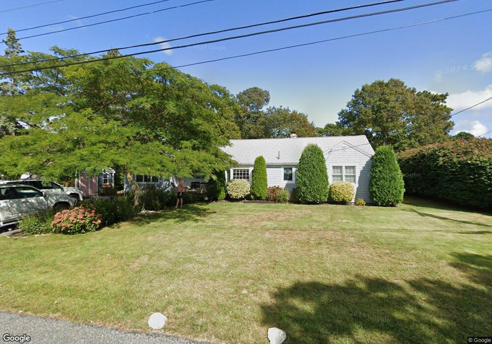
12 Arrowhead Dr West Dennis, MA 02670
West Dennis NeighborhoodEstimated Value: $488,000 - $772,000
2
Beds
2
Baths
1,192
Sq Ft
$578/Sq Ft
Est. Value
About This Home
This home is located at 12 Arrowhead Dr, West Dennis, MA 02670 and is currently estimated at $688,821, approximately $577 per square foot. 12 Arrowhead Dr is a home located in Barnstable County with nearby schools including Dennis-Yarmouth Regional High School and St. Pius X. School.
Ownership History
Date
Name
Owned For
Owner Type
Purchase Details
Closed on
Sep 24, 2010
Sold by
Mary A Cremins Lt
Bought by
Flynn Joseph D and Flynn Anabel E
Current Estimated Value
Home Financials for this Owner
Home Financials are based on the most recent Mortgage that was taken out on this home.
Original Mortgage
$255,000
Outstanding Balance
$168,726
Interest Rate
4.48%
Mortgage Type
Purchase Money Mortgage
Estimated Equity
$520,095
Create a Home Valuation Report for This Property
The Home Valuation Report is an in-depth analysis detailing your home's value as well as a comparison with similar homes in the area
Home Values in the Area
Average Home Value in this Area
Purchase History
| Date | Buyer | Sale Price | Title Company |
|---|---|---|---|
| Flynn Joseph D | $319,000 | -- |
Source: Public Records
Mortgage History
| Date | Status | Borrower | Loan Amount |
|---|---|---|---|
| Open | Flynn Joseph D | $255,000 |
Source: Public Records
Tax History Compared to Growth
Tax History
| Year | Tax Paid | Tax Assessment Tax Assessment Total Assessment is a certain percentage of the fair market value that is determined by local assessors to be the total taxable value of land and additions on the property. | Land | Improvement |
|---|---|---|---|---|
| 2025 | $3,165 | $730,900 | $227,800 | $503,100 |
| 2024 | $3,067 | $698,700 | $219,100 | $479,600 |
| 2023 | $2,992 | $640,600 | $199,200 | $441,400 |
| 2022 | $2,644 | $472,200 | $155,500 | $316,700 |
| 2021 | $1,846 | $401,900 | $152,400 | $249,500 |
| 2020 | $1,813 | $380,200 | $164,200 | $216,000 |
| 2019 | $2,358 | $382,100 | $172,500 | $209,600 |
| 2018 | $1,644 | $345,700 | $153,200 | $192,500 |
| 2017 | $2,088 | $339,500 | $153,200 | $186,300 |
| 2016 | $2,073 | $317,500 | $158,700 | $158,800 |
| 2015 | $2,032 | $317,500 | $158,700 | $158,800 |
| 2014 | $2,016 | $317,500 | $158,700 | $158,800 |
Source: Public Records
Map
Nearby Homes
- 15 Woodside Park Rd
- 12 Spoonbill Rd
- 61 Trotters Ln
- 26 Center St
- 80 Michaels Ave
- 3 Pinefield Ln
- 71 Main St
- 95 Center St
- 19 Standish Way
- 4 Coffey Ln
- 125 Main St Unit 3
- 467 Main St
- 401 Main St Unit 201
- 401 Main St Unit 101
- 22 Wixon Rd
- 31 Easy St
- 37 Ocean Dr Unit 2
- 72 Bassett Ln
- 268 Main St
- 178 School St
- 16 Arrowhead Dr
- 47 Princeton Cir
- 18 Arrowhead Dr
- 8 Arrowhead Dr
- 41 Princeton Cir
- 5 Arrowhead Dr
- 21 Tamarack Rd
- 16 Tamarack Rd
- 22 Arrowhead Dr
- 40 Princeton Cir
- 55 Princeton Cir
- 6 Arrowhead Dr
- 48 Princeton Cir
- 36 Princeton Cir
- 37 Princeton Cir
- 256 Trotting Park Rd
- 17 Tamarack Rd
- 250 Trotting Park Rd
- 43 Dartmouth Rd
- 29 Arrowhead Dr