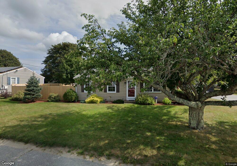
12 Asylum Rd Warren, RI 02885
East Warren NeighborhoodEstimated Value: $431,337 - $527,000
3
Beds
1
Bath
1,168
Sq Ft
$409/Sq Ft
Est. Value
About This Home
This home is located at 12 Asylum Rd, Warren, RI 02885 and is currently estimated at $477,834, approximately $409 per square foot. 12 Asylum Rd is a home located in Bristol County with nearby schools including Mt. Hope High School, Highlander Charter Middle and High School, and East Bay Career Academy.
Ownership History
Date
Name
Owned For
Owner Type
Purchase Details
Closed on
Sep 25, 2009
Sold by
Carvara Peter and Carvara Nancy
Bought by
Briggs Michael and Briggs Tammy
Current Estimated Value
Home Financials for this Owner
Home Financials are based on the most recent Mortgage that was taken out on this home.
Original Mortgage
$233,923
Interest Rate
5.31%
Mortgage Type
Purchase Money Mortgage
Purchase Details
Closed on
Jul 30, 1999
Sold by
Carvana Peter J and Carvana Carol
Bought by
Carvana Peter and Martinho Nancy
Create a Home Valuation Report for This Property
The Home Valuation Report is an in-depth analysis detailing your home's value as well as a comparison with similar homes in the area
Home Values in the Area
Average Home Value in this Area
Purchase History
| Date | Buyer | Sale Price | Title Company |
|---|---|---|---|
| Briggs Michael | $229,000 | -- | |
| Carvana Peter | $115,500 | -- |
Source: Public Records
Mortgage History
| Date | Status | Borrower | Loan Amount |
|---|---|---|---|
| Open | Carvana Peter | $342,765 | |
| Closed | Carvana Peter | $229,650 | |
| Closed | Carvana Peter | $233,923 |
Source: Public Records
Tax History
| Year | Tax Paid | Tax Assessment Tax Assessment Total Assessment is a certain percentage of the fair market value that is determined by local assessors to be the total taxable value of land and additions on the property. | Land | Improvement |
|---|---|---|---|---|
| 2025 | $4,938 | $331,600 | $152,600 | $179,000 |
| 2024 | $4,788 | $331,600 | $152,600 | $179,000 |
| 2023 | $4,530 | $331,600 | $152,600 | $179,000 |
| 2022 | $4,375 | $242,900 | $131,400 | $111,500 |
| 2021 | $4,304 | $242,900 | $131,400 | $111,500 |
| 2020 | $4,217 | $242,900 | $131,400 | $111,500 |
| 2019 | $4,294 | $224,700 | $117,400 | $107,300 |
| 2018 | $4,238 | $224,700 | $117,400 | $107,300 |
| 2017 | $4,227 | $224,700 | $117,400 | $107,300 |
| 2016 | $3,694 | $185,000 | $81,100 | $103,900 |
| 2015 | $3,694 | $185,000 | $81,100 | $103,900 |
| 2014 | $3,713 | $185,000 | $81,100 | $103,900 |
Source: Public Records
Map
Nearby Homes
- 33 Detroit Ave
- 510 Child St Unit 105B
- 510 Child St Unit 201C
- 36 Kinnicutt Ave
- 0 Barton Ave
- 210 Metacom Ave
- 1396 Wilbur Ave
- 596 Metacom Ave
- 795 Old Warren Rd
- 9 Bay Rd
- 0 Overhill Lot 1 Rd Unit 1405163
- 0 Overhill Rd Unit 1382248
- 69 Cutler St
- 115 Market St
- 7 Broadview Ave
- 85 Canario Dr
- 21 Federal St
- 31 Child St
- 5 Saint Theresa Ave
- 95 Winslow Way
Your Personal Tour Guide
Ask me questions while you tour the home.