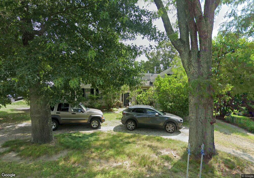
12 Ayer Rd Harvard, MA 01451
Estimated Value: $818,927 - $930,000
3
Beds
3
Baths
2,157
Sq Ft
$414/Sq Ft
Est. Value
About This Home
This home is located at 12 Ayer Rd, Harvard, MA 01451 and is currently estimated at $892,982, approximately $413 per square foot. 12 Ayer Rd is a home located in Worcester County with nearby schools including Hildreth Elementary School, The Bromfield School, and Immaculate Heart of Mary School.
Ownership History
Date
Name
Owned For
Owner Type
Purchase Details
Closed on
Jul 22, 2025
Sold by
Grant Edward W and Grant Brooke A
Bought by
Edward & Brooke Grant Lt and Grant
Current Estimated Value
Purchase Details
Closed on
May 6, 1998
Sold by
Monaghan Stephen R and Monaghan Madeline V
Bought by
Grant Edward W and Grant Brooke A
Create a Home Valuation Report for This Property
The Home Valuation Report is an in-depth analysis detailing your home's value as well as a comparison with similar homes in the area
Home Values in the Area
Average Home Value in this Area
Purchase History
| Date | Buyer | Sale Price | Title Company |
|---|---|---|---|
| Edward & Brooke Grant Lt | -- | -- | |
| Edward & Brooke Grant Lt | -- | -- | |
| Grant Edward W | $316,000 | -- | |
| Grant Edward W | $316,000 | -- |
Source: Public Records
Mortgage History
| Date | Status | Borrower | Loan Amount |
|---|---|---|---|
| Previous Owner | Grant Edward W | $220,000 | |
| Previous Owner | Grant Edward W | $220,000 | |
| Previous Owner | Grant Edward W | $100,000 |
Source: Public Records
Tax History
| Year | Tax Paid | Tax Assessment Tax Assessment Total Assessment is a certain percentage of the fair market value that is determined by local assessors to be the total taxable value of land and additions on the property. | Land | Improvement |
|---|---|---|---|---|
| 2025 | $11,860 | $757,800 | $165,200 | $592,600 |
| 2024 | $11,075 | $743,300 | $165,200 | $578,100 |
| 2023 | $10,498 | $632,000 | $158,400 | $473,600 |
| 2022 | $10,608 | $592,300 | $153,000 | $439,300 |
| 2021 | $9,597 | $511,000 | $153,000 | $358,000 |
| 2020 | $8,895 | $481,600 | $153,000 | $328,600 |
| 2019 | $8,396 | $482,000 | $153,000 | $329,000 |
| 2018 | $8,618 | $502,500 | $153,000 | $349,500 |
| 2017 | $7,407 | $409,200 | $116,400 | $292,800 |
| 2016 | $7,095 | $393,100 | $116,400 | $276,700 |
| 2015 | $7,187 | $404,000 | $114,000 | $290,000 |
| 2014 | $6,904 | $404,000 | $114,000 | $290,000 |
Source: Public Records
Map
Nearby Homes
- 8 Woodchuck Hill Rd
- 23 Tahanto Trail
- 4 Old Meadow Ln
- 68 Prospect Hill
- Lot 54 Prospect Hill Rd
- Lot 60 Prospect Hill Rd
- 60 Prospect Hill Rd
- 54 Prospect Hill Rd
- 9 Blanchard Rd
- 11 Sholan Cir
- 208 Swanson Rd Unit 526
- 21 Woodside Rd
- 220 Swanson Rd Unit 605
- 220 Swanson Rd Unit 606
- 220 Swanson Rd Unit 604
- 18A S Shaker Rd
- 107 Old Mill Rd
- 276 Codman Hill Rd Unit 36A
- 310 Codman Hill Rd Unit 35D
- 15 Spencer Rd Unit 12E
- 14 Ayer Rd
- 8 Ayer Rd
- 3 Littleton Rd
- 3 Littleton Rd Unit 3B
- 3 Littleton Rd
- 3 Littleton Rd Unit D
- 3 Littleton Rd Unit C
- 3 Littleton Rd Unit B
- 3 Littleton Rd Unit A
- 3 Littleton Rd Unit D
- 3 Littleton Rd Unit C
- 3 Littleton Rd Unit B
- 3 Littleton Rd Unit 3C
- 3 Littleton Rd
- 3 Littleton Rd
- 3 Littleton Rd
- 3 Littleton Rd
- 3 Littleton Rd
- 16 Ayer Rd
- 1 Fairbanks St
Your Personal Tour Guide
Ask me questions while you tour the home.