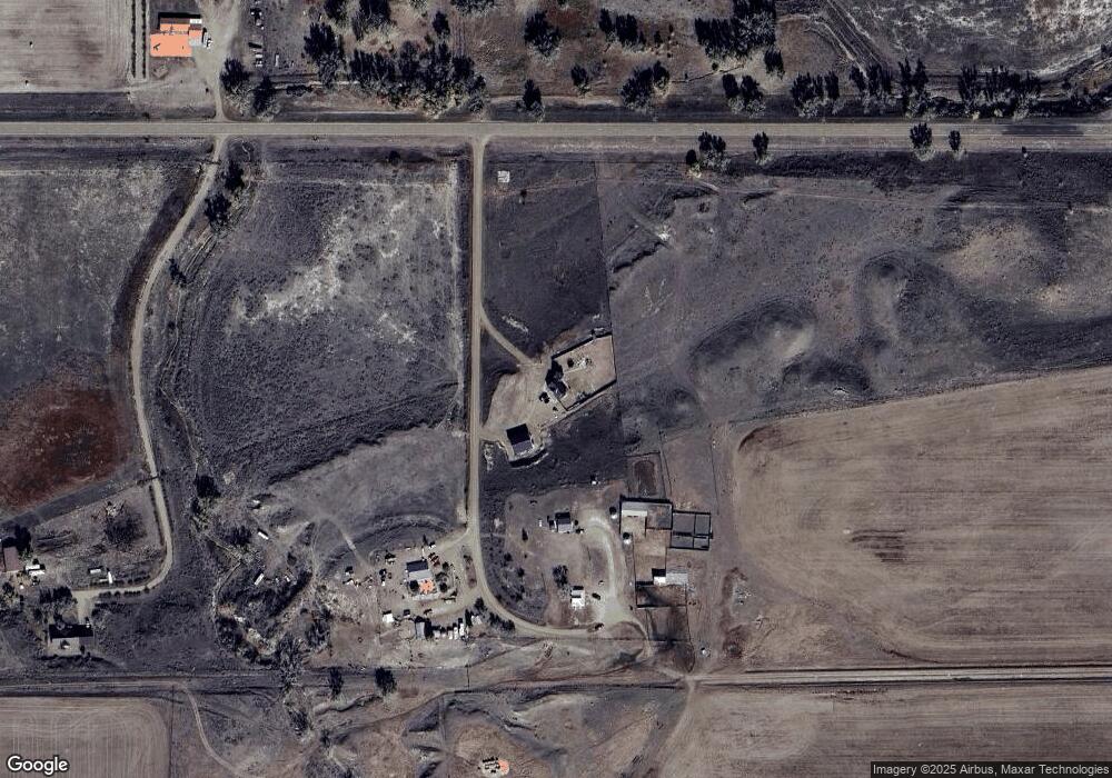
12 Balder Rd Wolf Point, MT 59201
Estimated Value: $149,728 - $283,000
3
Beds
2
Baths
1,370
Sq Ft
$158/Sq Ft
Est. Value
About This Home
This home is located at 12 Balder Rd, Wolf Point, MT 59201 and is currently estimated at $216,364, approximately $157 per square foot. 12 Balder Rd is a home with nearby schools including Circle High School.
Ownership History
Date
Name
Owned For
Owner Type
Purchase Details
Closed on
Jan 20, 2015
Sold by
Twitchell James B and Twitchell Linda K
Bought by
Robertson Casey J
Current Estimated Value
Home Financials for this Owner
Home Financials are based on the most recent Mortgage that was taken out on this home.
Original Mortgage
$142,500
Outstanding Balance
$108,315
Interest Rate
3.87%
Mortgage Type
New Conventional
Estimated Equity
$108,049
Purchase Details
Closed on
Sep 25, 1984
Bought by
Robertson Casey J
Create a Home Valuation Report for This Property
The Home Valuation Report is an in-depth analysis detailing your home's value as well as a comparison with similar homes in the area
Purchase History
| Date | Buyer | Sale Price | Title Company |
|---|---|---|---|
| Robertson Casey J | $178,225 | -- | |
| Robertson Casey J | -- | -- |
Source: Public Records
Mortgage History
| Date | Status | Borrower | Loan Amount |
|---|---|---|---|
| Open | Robertson Casey J | $142,500 |
Source: Public Records
Tax History
| Year | Tax Paid | Tax Assessment Tax Assessment Total Assessment is a certain percentage of the fair market value that is determined by local assessors to be the total taxable value of land and additions on the property. | Land | Improvement |
|---|---|---|---|---|
| 2025 | $605 | $129,800 | $0 | $0 |
| 2024 | $866 | $105,200 | $0 | $0 |
| 2023 | $892 | $105,200 | $0 | $0 |
| 2022 | $856 | $103,200 | $0 | $0 |
| 2021 | $790 | $103,200 | $0 | $0 |
| 2020 | $728 | $96,400 | $0 | $0 |
| 2019 | $748 | $96,400 | $0 | $0 |
| 2018 | $707 | $91,800 | $0 | $0 |
| 2017 | $640 | $91,800 | $0 | $0 |
| 2016 | $492 | $72,299 | $0 | $0 |
| 2015 | $496 | $72,299 | $0 | $0 |
| 2014 | $214 | $16,864 | $0 | $0 |
Source: Public Records
Map
Nearby Homes
Your Personal Tour Guide
Ask me questions while you tour the home.