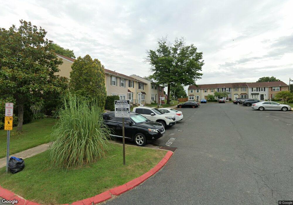
12 Bardia Ct Rosedale, MD 21237
Estimated Value: $255,409 - $281,000
3
Beds
2
Baths
1,152
Sq Ft
$229/Sq Ft
Est. Value
About This Home
This home is located at 12 Bardia Ct, Rosedale, MD 21237 and is currently estimated at $264,102, approximately $229 per square foot. 12 Bardia Ct is a home located in Baltimore County with nearby schools including Vincent Farm Elementary, Golden Ring Middle School, and Overlea High School.
Ownership History
Date
Name
Owned For
Owner Type
Purchase Details
Closed on
Nov 2, 2009
Sold by
Albert John J
Bought by
Lewis Thomas E and Lewis Ann M
Current Estimated Value
Purchase Details
Closed on
Mar 15, 2005
Sold by
Marsiglia Robert W
Bought by
Albert John J and Kropfelder Robin L
Home Financials for this Owner
Home Financials are based on the most recent Mortgage that was taken out on this home.
Original Mortgage
$131,920
Interest Rate
5.62%
Mortgage Type
Adjustable Rate Mortgage/ARM
Purchase Details
Closed on
Sep 26, 2002
Sold by
Bragg Patrick T
Bought by
Marsiglia Robert W and Marsiglia Melissa M
Create a Home Valuation Report for This Property
The Home Valuation Report is an in-depth analysis detailing your home's value as well as a comparison with similar homes in the area
Home Values in the Area
Average Home Value in this Area
Purchase History
| Date | Buyer | Sale Price | Title Company |
|---|---|---|---|
| Lewis Thomas E | $190,000 | -- | |
| Albert John J | $164,900 | -- | |
| Marsiglia Robert W | $107,000 | -- |
Source: Public Records
Mortgage History
| Date | Status | Borrower | Loan Amount |
|---|---|---|---|
| Previous Owner | Albert John J | $131,920 | |
| Previous Owner | Albert John J | $32,980 |
Source: Public Records
Tax History Compared to Growth
Tax History
| Year | Tax Paid | Tax Assessment Tax Assessment Total Assessment is a certain percentage of the fair market value that is determined by local assessors to be the total taxable value of land and additions on the property. | Land | Improvement |
|---|---|---|---|---|
| 2025 | $3,374 | $203,767 | -- | -- |
| 2024 | $3,374 | $188,733 | $0 | $0 |
| 2023 | $1,619 | $173,700 | $64,500 | $109,200 |
| 2022 | $3,117 | $169,367 | $0 | $0 |
| 2021 | $2,998 | $165,033 | $0 | $0 |
| 2020 | $2,998 | $160,700 | $64,500 | $96,200 |
| 2019 | $2,979 | $160,700 | $64,500 | $96,200 |
| 2018 | $2,977 | $160,700 | $64,500 | $96,200 |
| 2017 | $2,864 | $162,600 | $0 | $0 |
| 2016 | $2,872 | $157,333 | $0 | $0 |
| 2015 | $2,872 | $152,067 | $0 | $0 |
| 2014 | $2,872 | $146,800 | $0 | $0 |
Source: Public Records
Map
Nearby Homes
- 5363 King Arthur Cir
- 4 Bantry Ct
- 12 Duchess Ct
- 5240 King Ave
- 5435 King Arthur Cir
- 5420 King Arthur Cir
- 5300 Castlestone Dr
- 5 Aldeburgh Ct
- 9575 Shirewood Ct
- 9534 Shirewood Ct
- 5425 Balistan Rd
- 5312 Millfield Rd
- 5236 Millfield Rd
- 98 King Charles Cir
- 5488 Glenthorne Ct
- 5496 Glenthorne Ct
- 4938 Brightleaf Ct
- 4832 Brightleaf Ct
- 4932 Brightleaf Ct
- 5215 Glenthorne Ct