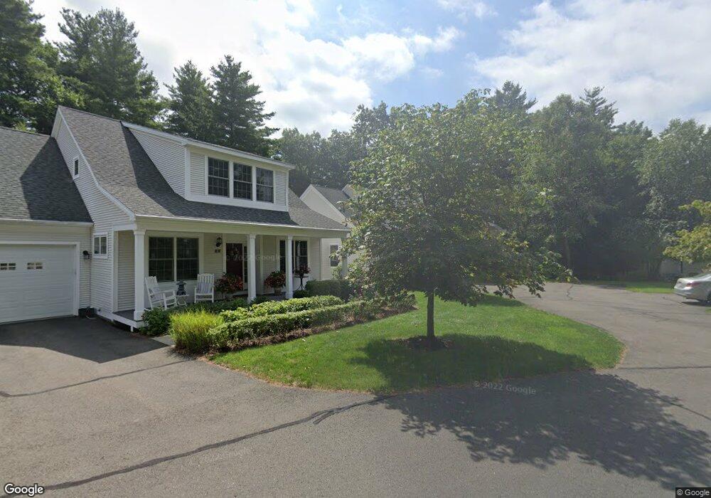
12 Barons Ct Simsbury, CT 06070
Estimated Value: $549,000 - $623,000
2
Beds
2
Baths
1,546
Sq Ft
$379/Sq Ft
Est. Value
About This Home
This home is located at 12 Barons Ct, Simsbury, CT 06070 and is currently estimated at $585,778, approximately $378 per square foot. 12 Barons Ct is a home located in Hartford County with nearby schools including Central School, Henry James Memorial School, and Simsbury High School.
Ownership History
Date
Name
Owned For
Owner Type
Purchase Details
Closed on
Jun 1, 2007
Sold by
Powder Forest Homes Ll
Bought by
Locandro Ronald R and Locandro Carol M
Current Estimated Value
Home Financials for this Owner
Home Financials are based on the most recent Mortgage that was taken out on this home.
Original Mortgage
$350,000
Outstanding Balance
$221,940
Interest Rate
6.78%
Estimated Equity
$363,838
Purchase Details
Closed on
May 4, 1990
Sold by
Markowski Robert
Bought by
Peterson Arthur
Home Financials for this Owner
Home Financials are based on the most recent Mortgage that was taken out on this home.
Original Mortgage
$150,000
Interest Rate
10.18%
Create a Home Valuation Report for This Property
The Home Valuation Report is an in-depth analysis detailing your home's value as well as a comparison with similar homes in the area
Home Values in the Area
Average Home Value in this Area
Purchase History
| Date | Buyer | Sale Price | Title Company |
|---|---|---|---|
| Locandro Ronald R | $450,000 | -- | |
| Peterson Arthur | $420,000 | -- |
Source: Public Records
Mortgage History
| Date | Status | Borrower | Loan Amount |
|---|---|---|---|
| Open | Peterson Arthur | $350,000 | |
| Previous Owner | Peterson Arthur | $150,000 |
Source: Public Records
Tax History Compared to Growth
Tax History
| Year | Tax Paid | Tax Assessment Tax Assessment Total Assessment is a certain percentage of the fair market value that is determined by local assessors to be the total taxable value of land and additions on the property. | Land | Improvement |
|---|---|---|---|---|
| 2025 | $10,701 | $313,250 | $0 | $313,250 |
| 2024 | $9,966 | $299,180 | $0 | $299,180 |
| 2023 | $9,520 | $299,180 | $0 | $299,180 |
| 2022 | $9,457 | $244,810 | $0 | $244,810 |
| 2021 | $9,457 | $244,810 | $0 | $244,810 |
| 2020 | $9,080 | $244,810 | $0 | $244,810 |
| 2019 | $9,136 | $244,810 | $0 | $244,810 |
| 2018 | $9,013 | $244,810 | $0 | $244,810 |
| 2017 | $10,517 | $271,330 | $0 | $271,330 |
| 2016 | $10,072 | $271,330 | $0 | $271,330 |
| 2015 | $9,609 | $258,870 | $0 | $258,870 |
| 2014 | $9,614 | $258,870 | $0 | $258,870 |
Source: Public Records
Map
Nearby Homes
- 16 Stratton Forest Way
- 3 Stebbins Brook Ln
- 4 Stebbins Brook Ln
- 15 Sand Hill Rd
- 1 West St Unit 206
- 40 Firetown Rd Unit 39
- 47 Long View Dr
- 44 Simsbury Manor Dr
- 308 Hopmeadow St
- 48 Library Ln Unit 48
- 18 Meadowlark Rd
- 301 Bushy Hill Rd
- 3 Cobtail Way
- 9 Cobtail Way
- 3 Minister Brook Dr
- 25 Barry Ln
- 15 Pinnacle Mountain Rd
- 10 Sachems Trail
- 8 Crane Place
- 8 Quorn Hunt Rd
- 10 Barons Ct
- 10 Barons Ct Unit 22
- 14 Barons Ct
- 6 Barons Ct
- 4 Barons Ct
- 22 Ashton Cir
- 29 Ashton Cir
- 28 Ashton Cir
- 28 Ashton Cir Unit 28
- 21 Ashton Cir
- 21 Ashton Cir Unit 21
- 30 Ashton Cir
- 30 Ashton Cir Unit 30
- 20 Ashton Cir
- 20 Ashton Cir Unit 20
- 31 Ashton Cir
- 35 Ashton Cir
- 32 Ashton Cir
- 32 Ashton Cir Unit 32
- 18 Ashton Cir