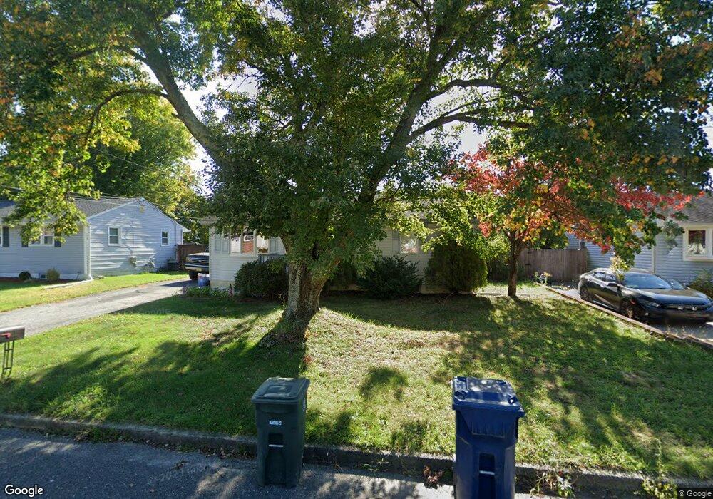
12 Battles Rd Williamstown, NJ 08094
Monroe Township Gloucester NeighborhoodEstimated Value: $234,272 - $307,000
--
Bed
--
Bath
898
Sq Ft
$307/Sq Ft
Est. Value
About This Home
This home is located at 12 Battles Rd, Williamstown, NJ 08094 and is currently estimated at $275,818, approximately $307 per square foot. 12 Battles Rd is a home located in Gloucester County with nearby schools including Williamstown High School, St. Mary School, and Finest of the Wheat Christian.
Ownership History
Date
Name
Owned For
Owner Type
Purchase Details
Closed on
Jul 26, 2006
Sold by
Mellen Robert D
Bought by
Mellen Sharon A
Current Estimated Value
Home Financials for this Owner
Home Financials are based on the most recent Mortgage that was taken out on this home.
Original Mortgage
$109,200
Outstanding Balance
$65,348
Interest Rate
6.7%
Mortgage Type
Purchase Money Mortgage
Estimated Equity
$210,470
Purchase Details
Closed on
Jan 29, 1995
Sold by
Wentz Brian W and Wentz Christine M
Bought by
Mellen Robert D and Mellen Sharon A
Home Financials for this Owner
Home Financials are based on the most recent Mortgage that was taken out on this home.
Original Mortgage
$83,600
Interest Rate
7.25%
Create a Home Valuation Report for This Property
The Home Valuation Report is an in-depth analysis detailing your home's value as well as a comparison with similar homes in the area
Home Values in the Area
Average Home Value in this Area
Purchase History
| Date | Buyer | Sale Price | Title Company |
|---|---|---|---|
| Mellen Sharon A | -- | -- | |
| Mellen Robert D | $88,000 | Congress Title Corp |
Source: Public Records
Mortgage History
| Date | Status | Borrower | Loan Amount |
|---|---|---|---|
| Open | Mellen Sharon A | $109,200 | |
| Previous Owner | Mellen Robert D | $83,600 |
Source: Public Records
Tax History Compared to Growth
Tax History
| Year | Tax Paid | Tax Assessment Tax Assessment Total Assessment is a certain percentage of the fair market value that is determined by local assessors to be the total taxable value of land and additions on the property. | Land | Improvement |
|---|---|---|---|---|
| 2025 | $4,669 | $127,500 | $39,300 | $88,200 |
| 2024 | $4,635 | $127,500 | $39,300 | $88,200 |
| 2023 | $4,635 | $127,500 | $39,300 | $88,200 |
| 2022 | $4,613 | $127,500 | $39,300 | $88,200 |
| 2021 | $4,642 | $127,500 | $39,300 | $88,200 |
| 2020 | $4,637 | $127,500 | $39,300 | $88,200 |
| 2019 | $4,609 | $127,500 | $39,300 | $88,200 |
| 2018 | $5,274 | $148,300 | $39,300 | $109,000 |
| 2017 | $4,817 | $136,000 | $55,000 | $81,000 |
| 2016 | $4,756 | $136,000 | $55,000 | $81,000 |
| 2015 | $4,620 | $136,000 | $55,000 | $81,000 |
| 2014 | $4,485 | $136,000 | $55,000 | $81,000 |
Source: Public Records
Map
Nearby Homes
- 2393 S Black Horse Pike
- 2025 Burlington Cir
- Ballenger Plan at Acorn Lane
- Allegheny Plan at Acorn Lane
- Columbia Plan at Acorn Lane
- Hudson Plan at Acorn Lane
- 2494 S Black Horse Pk Pike
- 492 Shadowcreek Ln
- 1851 S Black Horse Pk Pike
- 0 Black Horse Pike Unit NJGL2064300
- 0 Black Horse Pike Unit NJGL2064170
- 0 N Shore Dr Unit NJGL2035566
- 580 Edgemont Dr
- 507 Shadowcreek Ln
- 3010 S Shore Dr
- 225 Karen Dr
- 2612 S Shore Dr
- 248 Karen Dr
- 40 Dale Ln
- 1424 Corkery Ln