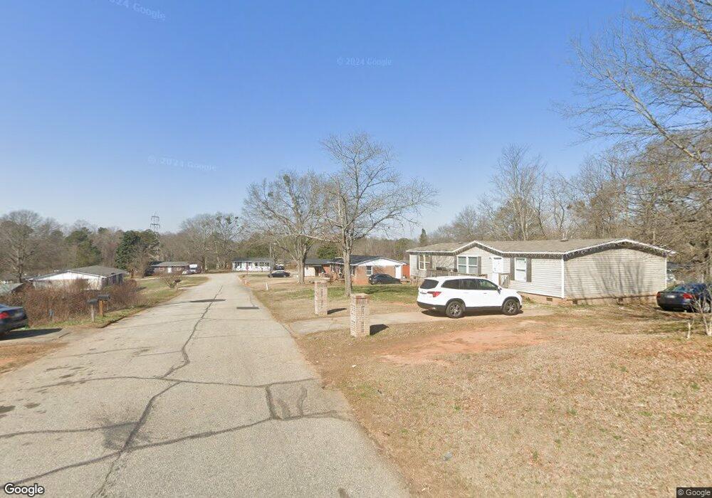
12 Benjamin Mays Dr Spartanburg, SC 29307
Estimated Value: $131,000 - $158,000
3
Beds
2
Baths
984
Sq Ft
$149/Sq Ft
Est. Value
About This Home
This home is located at 12 Benjamin Mays Dr, Spartanburg, SC 29307 and is currently estimated at $146,878, approximately $149 per square foot. 12 Benjamin Mays Dr is a home located in Spartanburg County with nearby schools including Broome High School.
Ownership History
Date
Name
Owned For
Owner Type
Purchase Details
Closed on
Nov 20, 2023
Sold by
K7 Properties Llc
Bought by
12 B Mays Llc
Current Estimated Value
Purchase Details
Closed on
Apr 12, 2022
Sold by
Pine Valley One Real Estate Llc
Bought by
K7 Properties Llc
Home Financials for this Owner
Home Financials are based on the most recent Mortgage that was taken out on this home.
Original Mortgage
$39,294
Interest Rate
3.76%
Mortgage Type
New Conventional
Purchase Details
Closed on
Oct 12, 2021
Sold by
Blassingame Ernestine Norris and Morris Ella Bivings
Bought by
Pine Valley One Real Estate Llc
Purchase Details
Closed on
May 18, 2015
Sold by
Bivings Ella and Estate Of Ernestine Blassingam
Bought by
Bivings Ella and Durham Betty
Create a Home Valuation Report for This Property
The Home Valuation Report is an in-depth analysis detailing your home's value as well as a comparison with similar homes in the area
Home Values in the Area
Average Home Value in this Area
Purchase History
| Date | Buyer | Sale Price | Title Company |
|---|---|---|---|
| 12 B Mays Llc | $125,000 | None Listed On Document | |
| K7 Properties Llc | $39,133 | Odom Law Firm | |
| Pine Valley One Real Estate Llc | $25,000 | None Available | |
| Bivings Ella | -- | None Available |
Source: Public Records
Mortgage History
| Date | Status | Borrower | Loan Amount |
|---|---|---|---|
| Previous Owner | K7 Properties Llc | $39,294 |
Source: Public Records
Tax History Compared to Growth
Tax History
| Year | Tax Paid | Tax Assessment Tax Assessment Total Assessment is a certain percentage of the fair market value that is determined by local assessors to be the total taxable value of land and additions on the property. | Land | Improvement |
|---|---|---|---|---|
| 2025 | $3,290 | $7,476 | $522 | $6,954 |
| 2024 | $3,290 | $7,476 | $522 | $6,954 |
| 2023 | $3,290 | $3,960 | $522 | $3,438 |
| 2022 | $1,243 | $2,580 | $390 | $2,190 |
| 2021 | $896 | $1,825 | $276 | $1,549 |
| 2020 | $885 | $1,825 | $276 | $1,549 |
| 2019 | $934 | $1,825 | $276 | $1,549 |
| 2018 | $852 | $1,825 | $276 | $1,549 |
| 2017 | $750 | $1,587 | $269 | $1,318 |
| 2016 | $749 | $1,587 | $269 | $1,318 |
| 2015 | $52 | $1,058 | $179 | $879 |
| 2014 | $47 | $1,058 | $179 | $879 |
Source: Public Records
Map
Nearby Homes
- 49 Thurgood Marshall Rd
- 000 Burns Rd Unit LOT 1
- 000 Burns Rd
- 000 Burns Rd Unit LOT 2
- Lot 31 State Road S-42-2288
- Lot 20 Peach Valley Cir
- 2959 Chesnee Hwy
- 451 Old Chesnee Hwy
- 455 Old Chesnee Hwy
- 459 Old Chesnee Hwy
- 134 Harvest Moon Ln
- 415 Ware Rd
- 302 Peach Valley Dr
- 150 Ware Rd
- 325 R C Thompson Rd
- 299 Sequoyah Dr
- 124 Childress Rd
- 204 Bennett Dairy Rd
- 215 Penny Bennett Rd
- 230 S Pointe
- 59 Thurgood Marshall Rd
- 10 Benjamin Mays Dr
- 51 Thurgood Marshall Rd
- 13 Benjamin Mays Dr
- 47 Thurgood Marshall Rd
- 11 Benjamin Mays Dr
- 8 Benjamin Mays Dr
- 58 Thurgood Marshall Rd
- 9 Benjamin Mays Dr
- 56 Thurgood Marshall Rd
- 60 Thurgood Marshall Rd
- 45 Thurgood Marshall Rd
- 54 Thurgood Marshall Rd
- 50 Thurgood Marshall Rd
- 7 Benjamin Mays Dr
- 62 Thurgood Marshall Rd
- 6 Benjamin Mays Dr
- 6 Julian Bond Ln
- 52 Thurgood Marshall Rd
- 8 Julian Bond Ln