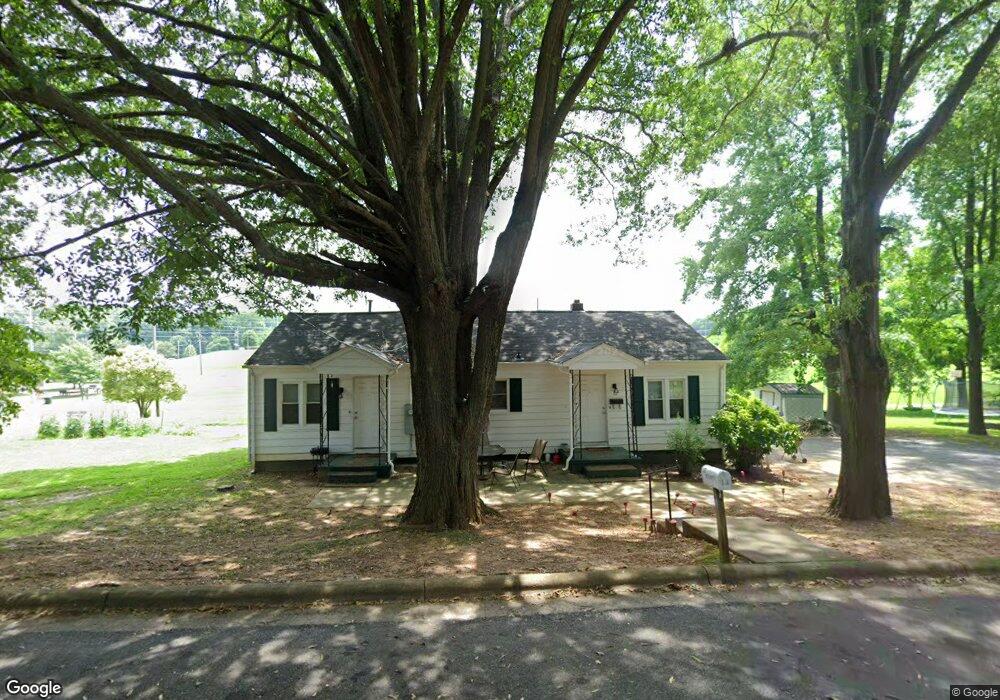
12 Bennett Dr Kings Mountain, NC 28086
Estimated Value: $147,000 - $194,000
2
Beds
2
Baths
1,104
Sq Ft
$154/Sq Ft
Est. Value
About This Home
This home is located at 12 Bennett Dr, Kings Mountain, NC 28086 and is currently estimated at $170,567, approximately $154 per square foot. 12 Bennett Dr is a home located in Cleveland County with nearby schools including East Elementary School, Kings Mountain Middle, and Kings Mountain Intermediate School.
Ownership History
Date
Name
Owned For
Owner Type
Purchase Details
Closed on
Oct 2, 2014
Sold by
Jpmorgan Chase Bank Na
Bought by
Adams Sherryl O and Adams Jerry Shane
Current Estimated Value
Purchase Details
Closed on
May 20, 2014
Sold by
Janaky Scott E and Janaky Elizabeth H
Bought by
Jpmorgan Chase Bank Na
Purchase Details
Closed on
Jun 12, 2008
Sold by
Silva Aurea E and Costner Pilar
Bought by
Janaky Scott E and Janaky Elizabeth H
Home Financials for this Owner
Home Financials are based on the most recent Mortgage that was taken out on this home.
Original Mortgage
$71,400
Interest Rate
5.97%
Mortgage Type
Purchase Money Mortgage
Purchase Details
Closed on
Jun 21, 2007
Sold by
T & I Development Of Gusfussia Llc
Bought by
Silva Aurea E
Create a Home Valuation Report for This Property
The Home Valuation Report is an in-depth analysis detailing your home's value as well as a comparison with similar homes in the area
Home Values in the Area
Average Home Value in this Area
Purchase History
| Date | Buyer | Sale Price | Title Company |
|---|---|---|---|
| Adams Sherryl O | $32,500 | None Available | |
| Jpmorgan Chase Bank Na | $38,250 | None Available | |
| Janaky Scott E | $70,000 | None Available | |
| Silva Aurea E | $67,000 | None Available |
Source: Public Records
Mortgage History
| Date | Status | Borrower | Loan Amount |
|---|---|---|---|
| Previous Owner | Janaky Scott E | $71,400 |
Source: Public Records
Tax History Compared to Growth
Tax History
| Year | Tax Paid | Tax Assessment Tax Assessment Total Assessment is a certain percentage of the fair market value that is determined by local assessors to be the total taxable value of land and additions on the property. | Land | Improvement |
|---|---|---|---|---|
| 2025 | $859 | $83,809 | $9,840 | $73,969 |
| 2024 | $540 | $44,136 | $8,036 | $36,100 |
| 2023 | $538 | $44,136 | $8,036 | $36,100 |
| 2022 | $516 | $44,136 | $8,036 | $36,100 |
| 2021 | $518 | $44,136 | $8,036 | $36,100 |
| 2020 | $478 | $39,629 | $8,036 | $31,593 |
| 2019 | $478 | $39,629 | $8,036 | $31,593 |
| 2018 | $477 | $39,629 | $8,036 | $31,593 |
| 2017 | $474 | $39,629 | $8,036 | $31,593 |
| 2016 | $474 | $39,629 | $8,036 | $31,593 |
| 2015 | $588 | $50,821 | $6,970 | $43,851 |
| 2014 | $588 | $50,821 | $6,970 | $43,851 |
Source: Public Records
Map
Nearby Homes
- 25 Bennett Dr
- 409 Chestnut St
- 408 Walnut St
- 403 Cherry St
- 506 E Ridge St
- 308 N Carpenter St
- 110 N Oriental Ave
- 405 Clinton Dr
- 114 Hendricks St
- 527 Katherine Ave
- 311 E King St Unit 2
- 814 Grace St
- 5066 Beargrass Dr
- 808 3rd St
- 110 N Gaston St
- 810 4th St
- 823 1st St
- 109 Fulton St Unit 9
- 116 Walker St
- 0 Canterbury Rd