12 Berkeley Dr Athens, OH 45701
Estimated Value: $67,000 - $221,000
3
Beds
2
Baths
1,536
Sq Ft
$102/Sq Ft
Est. Value
About This Home
This home is located at 12 Berkeley Dr, Athens, OH 45701 and is currently estimated at $156,494, approximately $101 per square foot. 12 Berkeley Dr is a home with nearby schools including Morrison-Gordon Elementary School, Athens Middle School, and Athens High School.
Ownership History
Date
Name
Owned For
Owner Type
Purchase Details
Closed on
Apr 15, 2019
Sold by
Honert Meghan
Bought by
Conliffe Bobbi L
Current Estimated Value
Purchase Details
Closed on
Apr 3, 2019
Sold by
Locke John A and Mcinturf Lynda L
Bought by
Conliffe Bobbie L
Purchase Details
Closed on
Apr 6, 2017
Sold by
Sands Janeen Ruth
Bought by
Honert Meghan
Purchase Details
Closed on
Feb 8, 2017
Sold by
Sands James R
Bought by
Sands Janeen Ruth
Purchase Details
Closed on
Apr 23, 2010
Sold by
Gleason Paul J and Gleason Elizabeth M
Bought by
Ratliff David W and Sands James R
Purchase Details
Closed on
Aug 20, 2009
Sold by
Stump Denver N and Stump Lois Carol
Bought by
Gleason Paul J and Gleason Elizabeth M
Purchase Details
Closed on
Aug 24, 1995
Sold by
Stump Denver and Lois Carol
Bought by
Stump Denver N Trust
Purchase Details
Closed on
Apr 1, 1991
Create a Home Valuation Report for This Property
The Home Valuation Report is an in-depth analysis detailing your home's value as well as a comparison with similar homes in the area
Home Values in the Area
Average Home Value in this Area
Purchase History
| Date | Buyer | Sale Price | Title Company |
|---|---|---|---|
| Conliffe Bobbi L | $45,000 | None Available | |
| Conliffe Bobbie L | -- | None Available | |
| Honert Meghan | $29,900 | Secure Title Services | |
| Sands Janeen Ruth | -- | Attorney | |
| Ratliff David W | $1,000 | Attorney | |
| Gleason Paul J | -- | Attorney | |
| Stump Denver N Trust | -- | -- | |
| -- | $2,300 | -- |
Source: Public Records
Tax History
| Year | Tax Paid | Tax Assessment Tax Assessment Total Assessment is a certain percentage of the fair market value that is determined by local assessors to be the total taxable value of land and additions on the property. | Land | Improvement |
|---|---|---|---|---|
| 2025 | $420 | $7,260 | $7,260 | $0 |
| 2024 | $416 | $7,260 | $7,260 | $0 |
| 2023 | $391 | $7,260 | $7,260 | $0 |
| 2022 | $408 | $7,260 | $7,260 | $0 |
| 2021 | $409 | $7,260 | $7,260 | $0 |
| 2020 | $384 | $7,260 | $7,260 | $0 |
| 2019 | $2,959 | $56,180 | $6,410 | $49,770 |
| 2018 | $354 | $6,410 | $6,410 | $0 |
| 2017 | $62 | $800 | $800 | $0 |
| 2016 | $63 | $800 | $800 | $0 |
| 2015 | $96 | $800 | $800 | $0 |
| 2014 | $96 | $800 | $800 | $0 |
| 2013 | $95 | $800 | $800 | $0 |
Source: Public Records
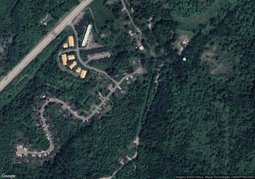
Map
Nearby Homes
- 7 Westfield Place
- 55 Westfield Place
- 4 Larson's Way
- 0 Larson's Way Unit 2434671
- 25 Angela Dr
- 31 Angela Dr
- 9188 Hooper Rd
- 0 Echo Ln
- 9088 Echo Ln
- 108 Coventry Ln
- 0 Coventry Ln
- 7257 Beechwood Dr
- 8747 Mclean Ln
- 7165 E Beechwood Dr
- 130 Longview Heights Rd
- 61 Mulligan Rd
- 49 Curtis St
- 8181 Dairy Ln
- 5985 Fisher Rd
- 5 Applegate Dr
Your Personal Tour Guide
Ask me questions while you tour the home.