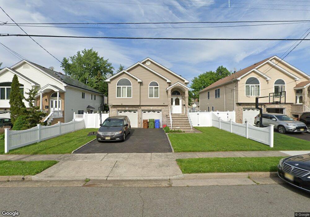
12 Berlant Ave Linden, NJ 07036
Estimated Value: $681,000 - $906,000
--
Bed
--
Bath
2,995
Sq Ft
$266/Sq Ft
Est. Value
About This Home
This home is located at 12 Berlant Ave, Linden, NJ 07036 and is currently estimated at $795,471, approximately $265 per square foot. 12 Berlant Ave is a home located in Union County with nearby schools including Number 10, Myles J. McManus Middle School, and Linden High School.
Ownership History
Date
Name
Owned For
Owner Type
Purchase Details
Closed on
Apr 15, 2008
Sold by
Urda John
Bought by
Brahmbhatt Kanubhai I and Brahmbhatt Daxa K
Current Estimated Value
Home Financials for this Owner
Home Financials are based on the most recent Mortgage that was taken out on this home.
Original Mortgage
$348,000
Interest Rate
5.99%
Mortgage Type
Purchase Money Mortgage
Purchase Details
Closed on
Oct 12, 2004
Sold by
Nowak Rudolf
Bought by
Urda John
Purchase Details
Closed on
Oct 18, 2000
Sold by
Nowak Bertha
Bought by
Nowak Bertha
Create a Home Valuation Report for This Property
The Home Valuation Report is an in-depth analysis detailing your home's value as well as a comparison with similar homes in the area
Home Values in the Area
Average Home Value in this Area
Purchase History
| Date | Buyer | Sale Price | Title Company |
|---|---|---|---|
| Brahmbhatt Kanubhai I | $435,000 | Commonwealth Land Title Insu | |
| Urda John | $370,000 | -- | |
| Nowak Bertha | -- | -- |
Source: Public Records
Mortgage History
| Date | Status | Borrower | Loan Amount |
|---|---|---|---|
| Previous Owner | Brahmbhatt Kanubhai I | $348,000 |
Source: Public Records
Tax History Compared to Growth
Tax History
| Year | Tax Paid | Tax Assessment Tax Assessment Total Assessment is a certain percentage of the fair market value that is determined by local assessors to be the total taxable value of land and additions on the property. | Land | Improvement |
|---|---|---|---|---|
| 2025 | $14,050 | $199,800 | $60,200 | $139,600 |
| 2024 | $13,742 | $199,800 | $60,200 | $139,600 |
| 2023 | $13,742 | $199,800 | $60,200 | $139,600 |
| 2022 | $13,814 | $199,800 | $60,200 | $139,600 |
| 2021 | $13,884 | $199,800 | $60,200 | $139,600 |
| 2020 | $13,810 | $199,800 | $60,200 | $139,600 |
| 2019 | $13,764 | $199,800 | $60,200 | $139,600 |
| 2018 | $13,760 | $199,800 | $60,200 | $139,600 |
| 2017 | $13,463 | $199,800 | $60,200 | $139,600 |
| 2016 | $13,039 | $199,800 | $60,200 | $139,600 |
| 2015 | $12,541 | $199,800 | $60,200 | $139,600 |
| 2014 | $12,298 | $199,800 | $60,200 | $139,600 |
Source: Public Records
Map
Nearby Homes
- 74 Raritan Rd
- 113 Raritan Rd
- 38 Pallant Ave
- 53 Pallant Ave
- 54 Pallant Ave
- 2513 N Wood Ave
- 57 Berlant Ave
- 569 W 5th Ave
- 540 W 7th Ave
- 569 Berlant Ave
- 63 Elmwood Terrace
- 409 Raritan Rd Unit 427
- 123 Robbinwood Terrace
- 112 Melrose Terrace
- 107 Myrtle St
- 13 Independence Dr
- 323 Dermody St
- 429 Elmwood Terrace
- 46 Palisade Rd
- 38 Independence Dr