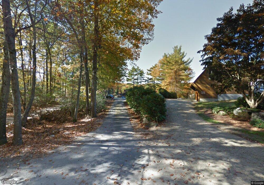
12 Bigelow Rd Douglas, MA 01516
Estimated Value: $503,000 - $716,000
2
Beds
1
Bath
1,489
Sq Ft
$407/Sq Ft
Est. Value
About This Home
This home is located at 12 Bigelow Rd, Douglas, MA 01516 and is currently estimated at $605,348, approximately $406 per square foot. 12 Bigelow Rd is a home located in Worcester County with nearby schools including Douglas Primary School, Douglas Middle School, and Douglas High School.
Ownership History
Date
Name
Owned For
Owner Type
Purchase Details
Closed on
Jun 18, 2010
Sold by
Salmonsen Lance B and Salmonsen Elizabeth
Bought by
L & B Rt
Current Estimated Value
Home Financials for this Owner
Home Financials are based on the most recent Mortgage that was taken out on this home.
Original Mortgage
$125,000
Outstanding Balance
$84,518
Interest Rate
5.23%
Estimated Equity
$520,830
Purchase Details
Closed on
May 21, 2010
Sold by
D & S Rt
Bought by
Salmonsen Lance B and Salmonsen Elizabeth
Home Financials for this Owner
Home Financials are based on the most recent Mortgage that was taken out on this home.
Original Mortgage
$125,000
Outstanding Balance
$84,518
Interest Rate
5.23%
Estimated Equity
$520,830
Purchase Details
Closed on
Jul 12, 2006
Sold by
Salmonsen Lance B
Bought by
L & B Rt
Create a Home Valuation Report for This Property
The Home Valuation Report is an in-depth analysis detailing your home's value as well as a comparison with similar homes in the area
Home Values in the Area
Average Home Value in this Area
Purchase History
| Date | Buyer | Sale Price | Title Company |
|---|---|---|---|
| L & B Rt | -- | -- | |
| Salmonsen Lance B | -- | -- | |
| L & B Rt | -- | -- |
Source: Public Records
Mortgage History
| Date | Status | Borrower | Loan Amount |
|---|---|---|---|
| Open | Salmonsen Lance B | $125,000 |
Source: Public Records
Tax History
| Year | Tax Paid | Tax Assessment Tax Assessment Total Assessment is a certain percentage of the fair market value that is determined by local assessors to be the total taxable value of land and additions on the property. | Land | Improvement |
|---|---|---|---|---|
| 2025 | $68 | $513,500 | $284,200 | $229,300 |
| 2024 | $6,394 | $472,900 | $247,200 | $225,700 |
| 2023 | $6,443 | $448,700 | $247,200 | $201,500 |
| 2022 | $5,377 | $329,100 | $162,600 | $166,500 |
| 2021 | $7,384 | $317,300 | $154,900 | $162,400 |
| 2020 | $5,233 | $308,200 | $154,900 | $153,300 |
| 2019 | $5,163 | $295,000 | $154,900 | $140,100 |
| 2018 | $6,509 | $289,700 | $154,900 | $134,800 |
| 2017 | $5,013 | $299,800 | $180,700 | $119,100 |
| 2016 | $4,948 | $294,200 | $180,700 | $113,500 |
| 2015 | $4,464 | $271,200 | $180,700 | $90,500 |
Source: Public Records
Map
Nearby Homes
- 18 Lakeshore Dr
- 19 Birch St
- 4 1st St
- 266 Putnam Hill Rd
- 108 Mumford St
- 24 Manchaug Rd
- 7 Tower Hill Rd
- 109 Mendon Rd
- 60 Webster St
- Lot 27 Cedar St
- 5 Hamlets Way
- 36 Compass Point Dr Unit 36
- 26 Compass Point Dr Unit 26
- 33 Nautical Way Unit 107
- 198 Uxbridge Rd
- 3 S East Main St
- 31 Central Turnpike
- 51 Central Turnpike
- 162 Sutton Ave
- 15 Westview Dr
Your Personal Tour Guide
Ask me questions while you tour the home.