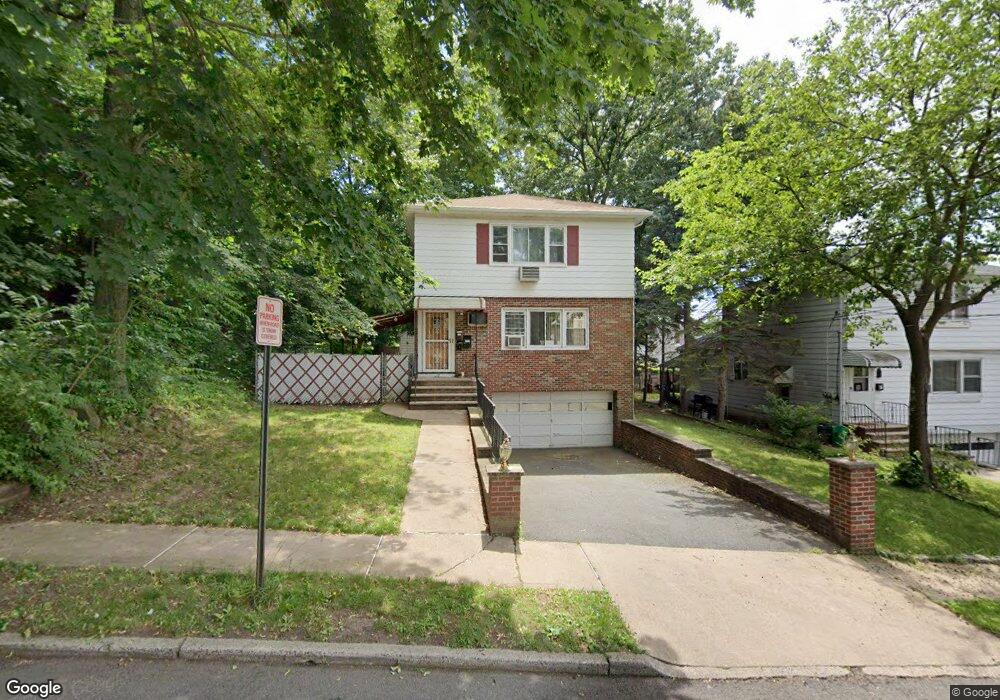
12 Birch St Unit 1 Bloomfield, NJ 07003
Estimated Value: $538,000 - $673,000
2
Beds
2
Baths
1,560
Sq Ft
$402/Sq Ft
Est. Value
About This Home
This home is located at 12 Birch St Unit 1, Bloomfield, NJ 07003 and is currently estimated at $626,641, approximately $401 per square foot. 12 Birch St Unit 1 is a home located in Essex County with nearby schools including Demarest School, Bloomfield Middle School, and Bloomfield High School.
Ownership History
Date
Name
Owned For
Owner Type
Purchase Details
Closed on
Jun 11, 2014
Sold by
Redhead Marcel and Redhead Aubrey
Bought by
Hajjeh Khaled
Current Estimated Value
Purchase Details
Closed on
Jul 2, 1998
Sold by
Pospishil Anthony
Bought by
Forsythe Marcel
Home Financials for this Owner
Home Financials are based on the most recent Mortgage that was taken out on this home.
Original Mortgage
$168,150
Interest Rate
6.8%
Create a Home Valuation Report for This Property
The Home Valuation Report is an in-depth analysis detailing your home's value as well as a comparison with similar homes in the area
Home Values in the Area
Average Home Value in this Area
Purchase History
| Date | Buyer | Sale Price | Title Company |
|---|---|---|---|
| Hajjeh Khaled | $240,000 | -- | |
| Hajjeh Khaled | $240,000 | -- | |
| Forsythe Marcel | $177,000 | -- |
Source: Public Records
Mortgage History
| Date | Status | Borrower | Loan Amount |
|---|---|---|---|
| Previous Owner | Forsythe Marcel | $168,150 |
Source: Public Records
Tax History Compared to Growth
Tax History
| Year | Tax Paid | Tax Assessment Tax Assessment Total Assessment is a certain percentage of the fair market value that is determined by local assessors to be the total taxable value of land and additions on the property. | Land | Improvement |
|---|---|---|---|---|
| 2025 | $11,918 | $364,700 | $135,000 | $229,700 |
| 2024 | $11,918 | $364,700 | $135,000 | $229,700 |
| 2022 | $11,678 | $364,700 | $135,000 | $229,700 |
| 2021 | $11,463 | $364,700 | $135,000 | $229,700 |
| 2020 | $11,287 | $364,700 | $135,000 | $229,700 |
| 2019 | $11,485 | $288,500 | $118,000 | $170,500 |
| 2018 | $11,436 | $288,500 | $118,000 | $170,500 |
| 2017 | $11,263 | $288,500 | $118,000 | $170,500 |
| 2016 | $11,136 | $288,500 | $118,000 | $170,500 |
| 2015 | $11,035 | $288,500 | $118,000 | $170,500 |
| 2014 | $10,833 | $288,500 | $118,000 | $170,500 |
Source: Public Records
Map
Nearby Homes
- 170 Pake St
- 211 E Passaic Ave
- 15 Martin St
- 267 Hoover Ave
- 109 Wilson St
- 298 Hoover Ave Unit 28
- 66 Broughton Ave
- 149 E Passaic Ave
- 156 Margaret Ave
- 73 Hoover Ave
- 322 Hoover Ave Unit 73
- 40 Brighton Ave
- 17 Walter St
- 328-330 Hoover Ave
- 328 Hoover Ave
- 352 Hoover Ave Unit 94
- 366 Hoover Ave Unit 119
- 366 Hoover Ave Unit 118