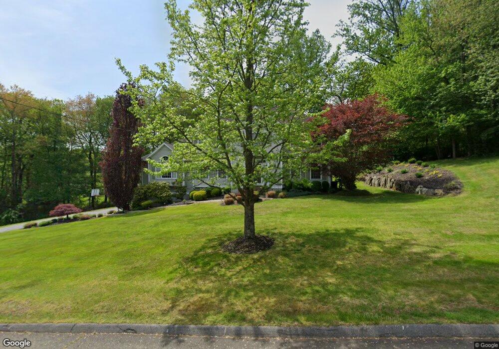
12 Blackhawk Rd Trumbull, CT 06611
Daniel Farm District NeighborhoodEstimated Value: $1,051,879 - $1,213,000
4
Beds
4
Baths
3,294
Sq Ft
$337/Sq Ft
Est. Value
About This Home
This home is located at 12 Blackhawk Rd, Trumbull, CT 06611 and is currently estimated at $1,110,470, approximately $337 per square foot. 12 Blackhawk Rd is a home located in Fairfield County with nearby schools including Daniels Farm School, Hillcrest Middle School, and Trumbull High School.
Ownership History
Date
Name
Owned For
Owner Type
Purchase Details
Closed on
Jul 28, 2011
Sold by
Torrance Charles E and Torrance Sheryl A
Bought by
Kennedy Samuel P and Kennedy Christine L
Current Estimated Value
Home Financials for this Owner
Home Financials are based on the most recent Mortgage that was taken out on this home.
Original Mortgage
$563,200
Outstanding Balance
$389,043
Interest Rate
4.52%
Estimated Equity
$721,427
Purchase Details
Closed on
Aug 31, 1998
Sold by
Blackhawk Estates Llc
Bought by
Torrance Charles E and Torrance Sheryl A
Home Financials for this Owner
Home Financials are based on the most recent Mortgage that was taken out on this home.
Original Mortgage
$345,000
Interest Rate
6.9%
Mortgage Type
Unknown
Create a Home Valuation Report for This Property
The Home Valuation Report is an in-depth analysis detailing your home's value as well as a comparison with similar homes in the area
Home Values in the Area
Average Home Value in this Area
Purchase History
| Date | Buyer | Sale Price | Title Company |
|---|---|---|---|
| Kennedy Samuel P | $725,000 | -- | |
| Torrance Charles E | $453,900 | -- |
Source: Public Records
Mortgage History
| Date | Status | Borrower | Loan Amount |
|---|---|---|---|
| Open | Torrance Charles E | $563,200 | |
| Previous Owner | Torrance Charles E | $398,000 | |
| Previous Owner | Torrance Charles E | $329,000 | |
| Previous Owner | Torrance Charles E | $345,000 |
Source: Public Records
Tax History
| Year | Tax Paid | Tax Assessment Tax Assessment Total Assessment is a certain percentage of the fair market value that is determined by local assessors to be the total taxable value of land and additions on the property. | Land | Improvement |
|---|---|---|---|---|
| 2025 | $18,980 | $514,080 | $194,740 | $319,340 |
| 2024 | $18,461 | $514,080 | $194,740 | $319,340 |
| 2023 | $18,162 | $514,080 | $194,740 | $319,340 |
| 2022 | $17,872 | $514,080 | $194,740 | $319,340 |
| 2021 | $16,981 | $464,660 | $177,030 | $287,630 |
| 2020 | $16,658 | $464,660 | $177,030 | $287,630 |
| 2018 | $16,247 | $464,660 | $177,030 | $287,630 |
| 2017 | $15,919 | $464,660 | $177,030 | $287,630 |
| 2016 | $15,599 | $464,660 | $177,030 | $287,630 |
| 2015 | $15,914 | $468,600 | $177,000 | $291,600 |
| 2014 | $15,572 | $468,600 | $177,000 | $291,600 |
Source: Public Records
Map
Nearby Homes
- 97 Greenbrier Rd
- 23 Federal Rd
- 699 Daniels Farm Rd
- 93 Putting Green Rd N
- 10 Doe Hollow Dr
- 121 Lewis Rd
- 2 Doe Hollow Dr
- 15 Squire Ct
- 17 Moose Hill Rd
- 424 Waverly Rd
- 184 Putting Green Rd
- 176 Strobel Rd
- 15 Glenarden Rd
- 43 Woodmere Dr
- 35 Greenfield Dr
- 244 Strobel Rd
- 110 Porters Hill Rd
- 9 Lazy Brook Rd
- 0 Pinewood Trail
- 38 Macdonald Rd
- 77 Towerview Dr
- 11 Blackhawk Rd
- 81 Towerview Dr
- 6 Blackhawk Rd
- 71 Towerview Dr
- 17 Blackhawk Rd
- 14 Blackhawk Rd
- 87 Towerview Dr
- 34 Parkwood Rd
- 82 Firehouse Rd
- 76 Firehouse Rd
- 48 Parkwood Rd
- 86 Firehouse Rd
- 70 Firehouse Rd
- 82 Towerview Dr
- 8 Towerview Cir
- 92 Firehouse Rd
- 88 Towerview Dr
- 64 Firehouse Rd
- 24 Parkwood Rd
Your Personal Tour Guide
Ask me questions while you tour the home.