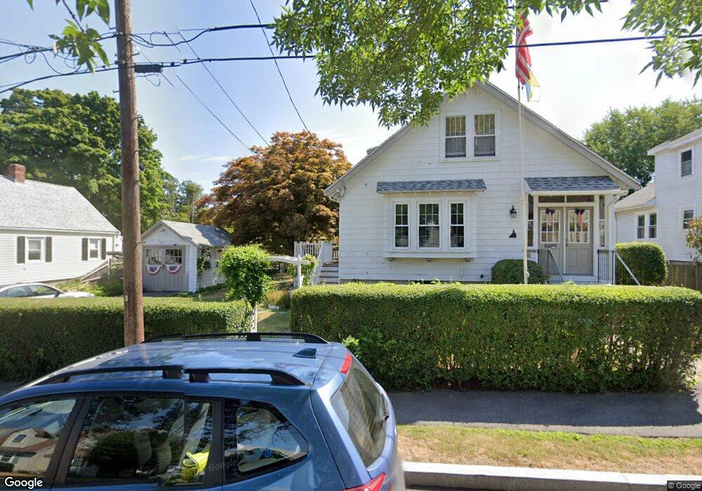
12 Bloomfield St Quincy, MA 02171
Squantum NeighborhoodEstimated Value: $784,796 - $820,000
4
Beds
3
Baths
1,560
Sq Ft
$513/Sq Ft
Est. Value
About This Home
This home is located at 12 Bloomfield St, Quincy, MA 02171 and is currently estimated at $800,449, approximately $513 per square foot. 12 Bloomfield St is a home located in Norfolk County with nearby schools including Squantum Elementary School, Atlantic Middle School, and North Quincy High School.
Ownership History
Date
Name
Owned For
Owner Type
Purchase Details
Closed on
Feb 20, 1997
Sold by
Nelson Stuart A
Bought by
Obrien Kevin M
Current Estimated Value
Home Financials for this Owner
Home Financials are based on the most recent Mortgage that was taken out on this home.
Original Mortgage
$152,000
Outstanding Balance
$17,557
Interest Rate
7.8%
Mortgage Type
Purchase Money Mortgage
Estimated Equity
$782,892
Create a Home Valuation Report for This Property
The Home Valuation Report is an in-depth analysis detailing your home's value as well as a comparison with similar homes in the area
Home Values in the Area
Average Home Value in this Area
Purchase History
We collect this data history from publicly available records. To have your information removed, we recommend requesting removal directly through your county’s website.
| Date | Buyer | Sale Price | Title Company |
|---|---|---|---|
| Obrien Kevin M | $160,000 | -- |
Source: Public Records
Mortgage History
We collect this data history from publicly available records. To have your information removed, we recommend requesting removal directly through your county’s website.
| Date | Status | Borrower | Loan Amount |
|---|---|---|---|
| Open | Obrien Kevin M | $152,000 |
Source: Public Records
Tax History
| Year | Tax Paid | Tax Assessment Tax Assessment Total Assessment is a certain percentage of the fair market value that is determined by local assessors to be the total taxable value of land and additions on the property. | Land | Improvement |
|---|---|---|---|---|
| 2025 | $8,042 | $697,500 | $420,900 | $276,600 |
| 2024 | $7,608 | $675,100 | $400,800 | $274,300 |
| 2023 | $7,021 | $630,800 | $381,700 | $249,100 |
| 2022 | $6,722 | $561,100 | $318,100 | $243,000 |
| 2021 | $6,597 | $543,400 | $318,100 | $225,300 |
| 2020 | $6,174 | $496,700 | $289,200 | $207,500 |
| 2019 | $6,059 | $482,800 | $289,200 | $193,600 |
| 2018 | $6,076 | $455,500 | $275,300 | $180,200 |
| 2017 | $5,655 | $399,100 | $239,400 | $159,700 |
| 2016 | $5,290 | $368,400 | $217,700 | $150,700 |
| 2015 | $5,163 | $353,600 | $217,700 | $135,900 |
| 2014 | $5,026 | $338,200 | $217,700 | $120,500 |
Source: Public Records
Map
Nearby Homes
- 130 Parke Ave (Lot 2)
- 62 Bay St
- 865 E Squantum St
- 1 Parke Ave
- 63 Crabtree Rd
- 63 Crabtree Rd (Lot B)
- 63 Crabtree Rd (Lot A)
- 151 Dorchester St
- 156 Crabtree Rd
- 7 Cutter Ln
- 10 Sloop Ln Unit 87
- 7 Whaler Ln
- 100 Marina Dr Unit 418
- 1001 Marina Dr Unit 705
- 1001 Marina Dr Unit 708
- 1001 Marina Dr Unit 301
- 52 Tilden Commons Dr Unit 52
- 2001 Marina Dr Unit 506W
- 2001 Marina Dr Unit 211
- 2001 Marina Dr Unit 605
- 8 Bloomfield St
- 18 Bloomfield St
- 195 Parke Ave
- 199 Parke Ave
- 15 Bloomfield St
- 101 Huckins Ave
- 9 Bloomfield St
- 19 Bloomfield St
- 24 Bloomfield St
- 109 Huckins Ave
- 203 Parke Ave
- 91 Huckins Ave
- 25 Bloomfield St
- 30 Bloomfield St
- 158 Standish Rd
- 198 Parke Ave
- 154 Standish Rd
- 162 Standish Rd
- 87 Huckins Ave
- 164 Standish Rd
Your Personal Tour Guide
Ask me questions while you tour the home.