12 Blue Rock Dr Stamford, CT 06903
North Stamford NeighborhoodEstimated Value: $989,000 - $1,143,000
4
Beds
3
Baths
3,019
Sq Ft
$352/Sq Ft
Est. Value
About This Home
This home is located at 12 Blue Rock Dr, Stamford, CT 06903 and is currently estimated at $1,063,686, approximately $352 per square foot. 12 Blue Rock Dr is a home with nearby schools including Davenport Ridge Elementary School, Rippowam Middle School, and Stamford High School.
Ownership History
Date
Name
Owned For
Owner Type
Purchase Details
Closed on
Oct 27, 2017
Sold by
Schultz John P and Schultz Dianne M
Bought by
Corrente Matthew L and Corrente Heather L
Current Estimated Value
Home Financials for this Owner
Home Financials are based on the most recent Mortgage that was taken out on this home.
Original Mortgage
$500,000
Outstanding Balance
$418,199
Interest Rate
3.78%
Mortgage Type
New Conventional
Estimated Equity
$645,487
Purchase Details
Closed on
May 14, 1982
Bought by
Schultz John P
Create a Home Valuation Report for This Property
The Home Valuation Report is an in-depth analysis detailing your home's value as well as a comparison with similar homes in the area
Home Values in the Area
Average Home Value in this Area
Purchase History
| Date | Buyer | Sale Price | Title Company |
|---|---|---|---|
| Corrente Matthew L | $625,000 | -- | |
| Schultz John P | -- | -- |
Source: Public Records
Mortgage History
| Date | Status | Borrower | Loan Amount |
|---|---|---|---|
| Open | Corrente Matthew L | $500,000 |
Source: Public Records
Tax History Compared to Growth
Tax History
| Year | Tax Paid | Tax Assessment Tax Assessment Total Assessment is a certain percentage of the fair market value that is determined by local assessors to be the total taxable value of land and additions on the property. | Land | Improvement |
|---|---|---|---|---|
| 2025 | $12,169 | $522,930 | $257,770 | $265,160 |
| 2024 | $11,902 | $522,930 | $257,770 | $265,160 |
| 2023 | $12,791 | $522,930 | $257,770 | $265,160 |
| 2022 | $11,142 | $423,170 | $198,570 | $224,600 |
| 2021 | $10,990 | $423,170 | $198,570 | $224,600 |
| 2020 | $10,719 | $423,170 | $198,570 | $224,600 |
| 2019 | $10,719 | $423,170 | $198,570 | $224,600 |
| 2018 | $10,347 | $423,170 | $198,570 | $224,600 |
| 2017 | $10,824 | $402,520 | $193,520 | $209,000 |
| 2016 | $9,991 | $402,520 | $193,520 | $209,000 |
| 2015 | $9,717 | $402,520 | $193,520 | $209,000 |
| 2014 | $9,383 | $402,520 | $193,520 | $209,000 |
Source: Public Records
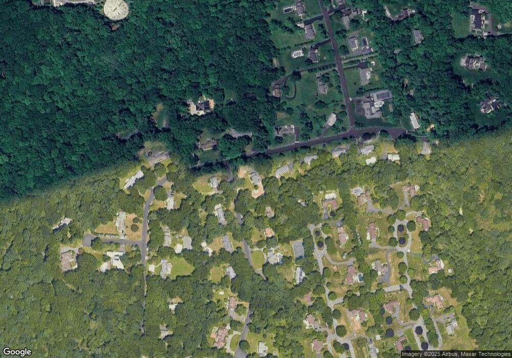
Map
Nearby Homes
- 474 Ponus Ridge
- 185 Interlaken Rd
- 113 Skyview Ln
- 105 N Stamford Rd
- 470 Frogtown Rd Unit Lot 1
- 357 Jelliff Mill Rd
- 19 Skymeadow Dr
- 39 Running Brook Ln
- 119 Wedgemere Rd
- 49 Pinner Ln
- 60 Redmont Rd
- 42 Hannahs Rd
- 77 Aspen Ln
- 40 Hoyclo Rd
- 210 Red Fox Rd
- 164 Janes Ln
- 100 Spring Water Ln
- 1552 Hope St
- 202 Weed St
- 139 Jelliff Mill Rd