12 Bogart Dr Pennsville, NJ 08070
Estimated Value: $333,000 - $461,000
--
Bed
--
Bath
3,127
Sq Ft
$132/Sq Ft
Est. Value
About This Home
This home is located at 12 Bogart Dr, Pennsville, NJ 08070 and is currently estimated at $413,518, approximately $132 per square foot. 12 Bogart Dr is a home located in Salem County with nearby schools including Valley Park Elementary School, Central Park Elementary School, and Penn Beach Elementary School.
Ownership History
Date
Name
Owned For
Owner Type
Purchase Details
Closed on
Jul 30, 1997
Sold by
Goff David E and Goff Jeryl M
Bought by
Gage Allen B and Gage Rhonda K
Current Estimated Value
Home Financials for this Owner
Home Financials are based on the most recent Mortgage that was taken out on this home.
Original Mortgage
$160,000
Outstanding Balance
$24,003
Interest Rate
7.55%
Estimated Equity
$389,515
Purchase Details
Closed on
Dec 30, 1994
Sold by
Dohner Alan C
Bought by
Goff David E and Goff Jeryl M
Create a Home Valuation Report for This Property
The Home Valuation Report is an in-depth analysis detailing your home's value as well as a comparison with similar homes in the area
Home Values in the Area
Average Home Value in this Area
Purchase History
| Date | Buyer | Sale Price | Title Company |
|---|---|---|---|
| Gage Allen B | $227,000 | Intercoastal Title Agency In | |
| Goff David E | $28,000 | Brokers Title Agency |
Source: Public Records
Mortgage History
| Date | Status | Borrower | Loan Amount |
|---|---|---|---|
| Open | Gage Allen B | $160,000 |
Source: Public Records
Tax History Compared to Growth
Tax History
| Year | Tax Paid | Tax Assessment Tax Assessment Total Assessment is a certain percentage of the fair market value that is determined by local assessors to be the total taxable value of land and additions on the property. | Land | Improvement |
|---|---|---|---|---|
| 2025 | $15,105 | $296,300 | $55,300 | $241,000 |
| 2024 | $14,542 | $296,300 | $55,300 | $241,000 |
| 2023 | $14,542 | $296,300 | $55,300 | $241,000 |
| 2022 | $14,086 | $296,300 | $55,300 | $241,000 |
| 2021 | $13,698 | $296,300 | $55,300 | $241,000 |
| 2020 | $13,283 | $296,300 | $55,300 | $241,000 |
| 2019 | $12,625 | $296,300 | $55,300 | $241,000 |
| 2018 | $12,172 | $296,300 | $55,300 | $241,000 |
| 2017 | $11,742 | $296,300 | $55,300 | $241,000 |
| 2016 | $10,806 | $296,300 | $55,300 | $241,000 |
| 2015 | $10,311 | $296,300 | $55,300 | $241,000 |
| 2014 | $10,036 | $296,300 | $55,300 | $241,000 |
Source: Public Records
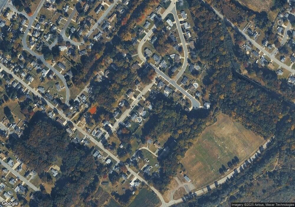
Map
Nearby Homes
- Part of Lot 34 Heron Ave
- 240 N Broadway
- 23 Churchtown Rd
- 11 Leap Ct
- 20 Church Landing Rd
- 0 Kent Ave
- 9 Sunset Ave
- 6 Sunset Ave
- 17 King St
- 25 Oriental Ave
- 51 Marlyn Ave
- 298 N Hook Rd
- 0 N Hook Rd Unit NJSA2014846
- 33 Beach Ave
- 80 Union St
- 101 N Broadway
- 94 White Oak Dr
- 32 Brandriff Ave
- 37 Brandriff Ave
- 67 Sparks Ave