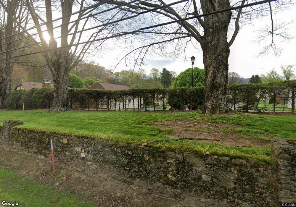
12 Bradford Cir Waynesville, NC 28786
Estimated Value: $359,000 - $409,000
2
Beds
2
Baths
1,457
Sq Ft
$263/Sq Ft
Est. Value
About This Home
This home is located at 12 Bradford Cir, Waynesville, NC 28786 and is currently estimated at $382,577, approximately $262 per square foot. 12 Bradford Cir is a home located in Haywood County with nearby schools including Hazelwood Elementary, Waynesville Middle, and Tuscola High.
Ownership History
Date
Name
Owned For
Owner Type
Purchase Details
Closed on
Apr 1, 2021
Sold by
Malmstrom Kenneth Paul
Bought by
Mckay Bobby M and Price Jeanette
Current Estimated Value
Purchase Details
Closed on
May 25, 2019
Sold by
Carpenter Jane P and Carpenter Jane Parrish
Bought by
Malmstrom Kenneth Paul
Home Financials for this Owner
Home Financials are based on the most recent Mortgage that was taken out on this home.
Original Mortgage
$160,000
Interest Rate
4.1%
Mortgage Type
New Conventional
Purchase Details
Closed on
Nov 4, 1999
Bought by
Norman Janet H
Create a Home Valuation Report for This Property
The Home Valuation Report is an in-depth analysis detailing your home's value as well as a comparison with similar homes in the area
Home Values in the Area
Average Home Value in this Area
Purchase History
| Date | Buyer | Sale Price | Title Company |
|---|---|---|---|
| Mckay Bobby M | $289,900 | None Available | |
| Malmstrom Kenneth Paul | $225,000 | None Available | |
| Norman Janet H | $148,000 | -- |
Source: Public Records
Mortgage History
| Date | Status | Borrower | Loan Amount |
|---|---|---|---|
| Previous Owner | Malmstrom Kenneth Paul | $160,000 |
Source: Public Records
Tax History Compared to Growth
Tax History
| Year | Tax Paid | Tax Assessment Tax Assessment Total Assessment is a certain percentage of the fair market value that is determined by local assessors to be the total taxable value of land and additions on the property. | Land | Improvement |
|---|---|---|---|---|
| 2025 | -- | $240,800 | $30,000 | $210,800 |
| 2024 | $1,483 | $240,800 | $30,000 | $210,800 |
| 2023 | $1,483 | $240,800 | $30,000 | $210,800 |
| 2022 | $1,447 | $240,800 | $30,000 | $210,800 |
| 2021 | $1,447 | $240,800 | $30,000 | $210,800 |
| 2020 | $1,280 | $191,600 | $30,000 | $161,600 |
| 2019 | $1,285 | $191,600 | $30,000 | $161,600 |
| 2018 | $1,285 | $191,600 | $30,000 | $161,600 |
| 2017 | $1,285 | $191,600 | $0 | $0 |
| 2016 | $1,378 | $214,400 | $0 | $0 |
| 2015 | $1,378 | $214,400 | $0 | $0 |
| 2014 | $1,253 | $214,400 | $0 | $0 |
Source: Public Records
Map
Nearby Homes
- 271 Brook St
- 142 Country Club Dr
- 165 Country Club Dr
- 72 Raines Blvd
- 56 Kentucky Ave
- TBD Adams St Unit 1
- 419 Country Club Dr
- 55 Scates St
- 684 Woodfield Dr
- 152 Springview Dr
- 00 Longview Dr Unit 6
- 00 Longview Dr Unit 7
- 00 Longview Dr Unit 8
- 35 Essex Rd
- 49 Robinson St
- 171 Surrey Rd
- 220 Ridge Rd
- 71 Auburn Park Dr
- 55 Polk St
- 34 Bowden Ln
- 12 Bradford Cir Unit 12
- 13 Bradford Cir
- 10 Bradford Cir
- 14 Bradford Cir
- 15 Bradford Cir
- 15 Country Club Dr Unit D-17
- 17 Country Club Dr
- 17 Country Club Dr Unit D-17
- 100 Country Ln Unit 26
- 10 Country Club Dr
- 7 Bradford Cir
- 7 Bradford Cir Unit 7
- 6 Bradford Cir
- 5 Bradford Cir
- 1 Bradford Cir Unit 1
- 17 Bradford Cir
- 3 Bradford Cir Unit 3
- 71 Country Club Dr
- 295/293 Brook St
- 37 Country Club Dr