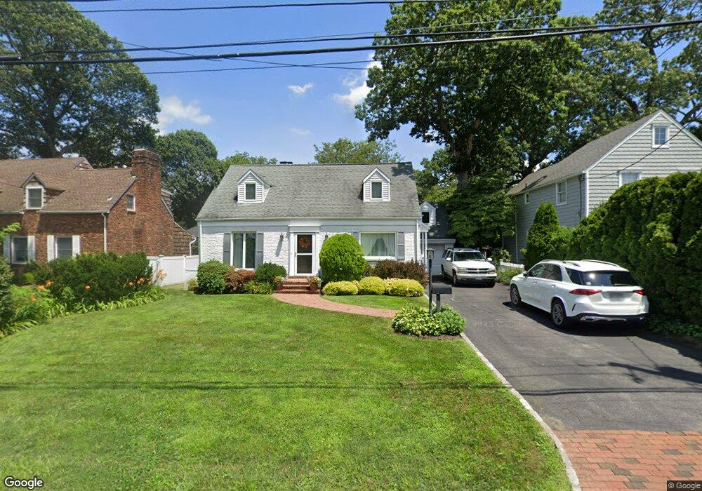
12 Briarcliff Dr Port Washington, NY 11050
Estimated Value: $1,625,000
--
Bed
2
Baths
2,048
Sq Ft
$793/Sq Ft
Est. Value
About This Home
This home is located at 12 Briarcliff Dr, Port Washington, NY 11050 and is currently estimated at $1,625,000, approximately $793 per square foot. 12 Briarcliff Dr is a home located in Nassau County with nearby schools including John Philip Sousa Elementary School, Carrie Palmer Weber Middle School, and Paul D. Schreiber Senior High School.
Ownership History
Date
Name
Owned For
Owner Type
Purchase Details
Closed on
May 23, 2001
Current Estimated Value
Purchase Details
Closed on
Jun 14, 1996
Sold by
Scaglione William
Bought by
Scaglione William and Scaglione Lois
Home Financials for this Owner
Home Financials are based on the most recent Mortgage that was taken out on this home.
Original Mortgage
$40,000
Outstanding Balance
$2,621
Interest Rate
8.28%
Estimated Equity
$1,622,379
Create a Home Valuation Report for This Property
The Home Valuation Report is an in-depth analysis detailing your home's value as well as a comparison with similar homes in the area
Home Values in the Area
Average Home Value in this Area
Purchase History
| Date | Buyer | Sale Price | Title Company |
|---|---|---|---|
| -- | -- | -- | |
| Scaglione William | -- | -- |
Source: Public Records
Mortgage History
| Date | Status | Borrower | Loan Amount |
|---|---|---|---|
| Open | Scaglione William | $40,000 |
Source: Public Records
Tax History Compared to Growth
Tax History
| Year | Tax Paid | Tax Assessment Tax Assessment Total Assessment is a certain percentage of the fair market value that is determined by local assessors to be the total taxable value of land and additions on the property. | Land | Improvement |
|---|---|---|---|---|
| 2025 | $19,859 | $842 | $399 | $443 |
| 2024 | $6,518 | $935 | $443 | $492 |
| 2023 | $19,194 | $960 | $455 | $505 |
| 2022 | $19,194 | $954 | $452 | $502 |
| 2021 | $17,896 | $954 | $426 | $528 |
| 2020 | $16,585 | $1,145 | $1,139 | $6 |
| 2019 | $16,131 | $1,227 | $1,145 | $82 |
| 2018 | $15,267 | $1,309 | $0 | $0 |
| 2017 | $12,503 | $1,756 | $1,221 | $535 |
| 2016 | $19,771 | $1,756 | $1,221 | $535 |
| 2015 | $7,056 | $1,756 | $1,221 | $535 |
| 2014 | $7,056 | $1,756 | $1,221 | $535 |
| 2013 | $6,647 | $1,756 | $1,221 | $535 |
Source: Public Records
Map
Nearby Homes
- 43 Amherst Rd
- 88 Luquer Rd
- 96 Davis Rd
- 100 Gristmill Ln
- 1 Luquer Rd
- 34 Davis Rd
- 113 Murray Ave
- 28 Charles St
- 184 Circle Dr
- 0 Route 5 & 20
- 21 Beechwood Ave
- 59 Colonial Dr
- 27 Hemlock Rd
- 22 Franklin Ave
- 21A Neulist Ave
- 38 Madison St Unit 38L
- 47 Carlton Ave
- 454 Main St
- 13 Chanticlare Dr
- 18 S Washington St
- 14 Briarcliff Dr
- 10 Briarcliff Dr
- 39 Amherst Rd
- 16 Briarcliff Dr
- 35 Amherst Rd
- 15 Briarcliff Dr Unit A
- 15 Briarcliff Dr
- 15A Briarcliff Dr
- 41 Amherst Rd
- 17 Briarcliff Dr
- 13 Briarcliff Dr
- 31 Amherst Rd
- 11 Briarcliff Dr
- 19 Briarcliff Dr
- 16 Oakland Dr
- 6 Hazel Rd
- 18 Oakland Dr
- 14 Oakland Dr
- 24 Briarcliff Dr
- 38 Amherst Rd