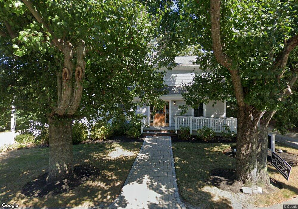
12 Bridge St Dennis, MA 02638
East Dennis NeighborhoodEstimated Value: $875,791
3
Beds
3
Baths
1,870
Sq Ft
$468/Sq Ft
Est. Value
About This Home
This home is located at 12 Bridge St, Dennis, MA 02638 and is currently estimated at $875,791, approximately $468 per square foot. 12 Bridge St is a home located in Barnstable County with nearby schools including Dennis-Yarmouth Regional High School and Latham School.
Ownership History
Date
Name
Owned For
Owner Type
Purchase Details
Closed on
Feb 27, 2008
Sold by
Us Bk and Wells Fargo Bk
Bought by
9 Pleasant Street Nt and Hoy
Current Estimated Value
Purchase Details
Closed on
Feb 19, 2008
Sold by
Hodsoll Darcelle M and Us Bk
Bought by
Us Bk
Purchase Details
Closed on
Sep 8, 2000
Sold by
Newman Douglas S and Newman Helen R
Bought by
Hodsoll Darcelle M
Home Financials for this Owner
Home Financials are based on the most recent Mortgage that was taken out on this home.
Original Mortgage
$207,000
Interest Rate
8.1%
Mortgage Type
Commercial
Create a Home Valuation Report for This Property
The Home Valuation Report is an in-depth analysis detailing your home's value as well as a comparison with similar homes in the area
Home Values in the Area
Average Home Value in this Area
Purchase History
| Date | Buyer | Sale Price | Title Company |
|---|---|---|---|
| 9 Pleasant Street Nt | $360,000 | -- | |
| Us Bk | $460,000 | -- | |
| Us Bk | $460,000 | -- | |
| Hodsoll Darcelle M | $230,000 | -- |
Source: Public Records
Mortgage History
| Date | Status | Borrower | Loan Amount |
|---|---|---|---|
| Previous Owner | Hodsoll Darcelle M | $207,000 |
Source: Public Records
Tax History Compared to Growth
Tax History
| Year | Tax Paid | Tax Assessment Tax Assessment Total Assessment is a certain percentage of the fair market value that is determined by local assessors to be the total taxable value of land and additions on the property. | Land | Improvement |
|---|---|---|---|---|
| 2025 | $2,292 | $529,300 | $236,900 | $292,400 |
| 2024 | $2,238 | $509,900 | $228,300 | $281,600 |
| 2023 | $2,267 | $485,400 | $217,400 | $268,000 |
| 2022 | $2,565 | $458,000 | $205,100 | $252,900 |
| 2021 | $2,672 | $443,100 | $201,100 | $242,000 |
| 2020 | $2,643 | $433,200 | $197,100 | $236,100 |
| 2019 | $2,658 | $430,800 | $197,100 | $233,700 |
| 2018 | $2,743 | $432,700 | $197,100 | $235,600 |
| 2017 | $3,097 | $503,500 | $197,100 | $306,400 |
| 2016 | $2,937 | $449,800 | $197,100 | $252,700 |
| 2015 | $2,657 | $415,100 | $197,100 | $218,000 |
| 2014 | $2,840 | $447,300 | $197,100 | $250,200 |
Source: Public Records
Map
Nearby Homes
- 102 Prince Way
- 1706 Massachusetts 6a Unit 3
- 1706 Route 6a Unit 3
- 1376 Bridge St Unit 16
- 153 Sesuit Neck Rd
- 55 Monument View Rd
- 23 Stephen Phillips Rd
- 43 Barque Cir
- 10 Shiverick Rd
- 12 Paddocks Path
- 18 Wendy Way
- 20 Paddocks Path
- 15 Trudy Cir
- 138 Quivet Dr
- 40 Harbor Rd
- 1146 Massachusetts 134 Unit 4C
- 11 Island Creek Ln
- 92 Whiffletree Ave
- 88 Whiffletree Ave
- 87 Coles Pond Dr