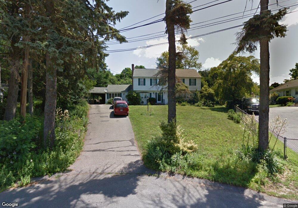
12 Briggs Rd Lexington, MA 02421
East Lexington NeighborhoodEstimated Value: $1,513,838 - $2,026,000
4
Beds
3
Baths
2,675
Sq Ft
$661/Sq Ft
Est. Value
About This Home
This home is located at 12 Briggs Rd, Lexington, MA 02421 and is currently estimated at $1,768,710, approximately $661 per square foot. 12 Briggs Rd is a home located in Middlesex County with nearby schools including Bowman Elementary School, Jonas Clarke Middle School, and Lexington High School.
Ownership History
Date
Name
Owned For
Owner Type
Purchase Details
Closed on
Jun 10, 1996
Sold by
Collins Robert F
Bought by
Jacob Monsy M and Jacob Saly M
Current Estimated Value
Home Financials for this Owner
Home Financials are based on the most recent Mortgage that was taken out on this home.
Original Mortgage
$272,800
Interest Rate
7.89%
Mortgage Type
Purchase Money Mortgage
Create a Home Valuation Report for This Property
The Home Valuation Report is an in-depth analysis detailing your home's value as well as a comparison with similar homes in the area
Home Values in the Area
Average Home Value in this Area
Purchase History
| Date | Buyer | Sale Price | Title Company |
|---|---|---|---|
| Jacob Monsy M | $341,000 | -- |
Source: Public Records
Mortgage History
| Date | Status | Borrower | Loan Amount |
|---|---|---|---|
| Open | Jacob Monsy M | $13,500 | |
| Open | Jacob Monsy M | $304,000 | |
| Closed | Jacob Monsy M | $272,800 | |
| Closed | Jacob Monsy M | $272,800 |
Source: Public Records
Tax History
| Year | Tax Paid | Tax Assessment Tax Assessment Total Assessment is a certain percentage of the fair market value that is determined by local assessors to be the total taxable value of land and additions on the property. | Land | Improvement |
|---|---|---|---|---|
| 2025 | $15,887 | $1,299,000 | $701,000 | $598,000 |
| 2024 | $15,509 | $1,266,000 | $668,000 | $598,000 |
| 2023 | $15,184 | $1,168,000 | $607,000 | $561,000 |
| 2022 | $14,311 | $1,037,000 | $552,000 | $485,000 |
| 2021 | $13,814 | $960,000 | $526,000 | $434,000 |
| 2020 | $13,362 | $951,000 | $526,000 | $425,000 |
| 2019 | $12,821 | $908,000 | $501,000 | $407,000 |
| 2018 | $12,527 | $876,000 | $477,000 | $399,000 |
| 2017 | $12,027 | $830,000 | $440,000 | $390,000 |
| 2016 | $11,884 | $814,000 | $419,000 | $395,000 |
| 2015 | $11,412 | $768,000 | $381,000 | $387,000 |
| 2014 | $9,570 | $617,000 | $339,000 | $278,000 |
Source: Public Records
Map
Nearby Homes
- 6 Linc Cole Ln
- 10 Luongo Farm Ln
- 64 Browning Rd
- 4 Aerial St
- 45 Webster Rd
- 12 Brandon St
- 10 Perth Rd
- 31 Greensbrook Way
- 36 Dundee Rd
- 103 Paul Revere Rd
- 53 Crestview Rd
- 107 Clocktower Dr Unit 3302
- 5 April Ln Unit 12
- 10 Colonial Village Dr Unit 2
- 25 Maple St
- 135 Marsh St
- 20 Marrett Rd
- 181 Lowell St
- 1 Tricorne Rd
- 164 Hillside Ave
- 11 Briggs Rd
- 10 Briggs Rd
- 9 Briggs Rd
- 8 Briggs Rd
- 7 Briggs Rd
- 2 Peacock Farm Rd
- 41 Watertown St
- 41 Watertown St Unit ID1271286P
- 2 Briggs Rd
- 3 Briggs Rd
- 3 Peacock Farm Rd
- 3 Peacock Farm Rd Unit 1
- 4 Peacock Farm Rd
- 32 Watertown St
- 1 Briggs Rd
- 30A Watertown St
- 6 Peacock Farm Rd
- 30 Watertown St Unit A
- 30-A Watertown St
- 37 Watertown St
Your Personal Tour Guide
Ask me questions while you tour the home.