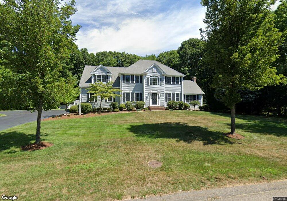
12 Broad Acres Farm Rd Medway, MA 02053
Estimated Value: $996,855 - $1,208,000
4
Beds
3
Baths
2,965
Sq Ft
$371/Sq Ft
Est. Value
About This Home
This home is located at 12 Broad Acres Farm Rd, Medway, MA 02053 and is currently estimated at $1,100,964, approximately $371 per square foot. 12 Broad Acres Farm Rd is a home located in Norfolk County with nearby schools including John D. McGovern Elementary School, Burke-Memorial Elementary, and Medway Middle School.
Ownership History
Date
Name
Owned For
Owner Type
Purchase Details
Closed on
Nov 30, 2000
Sold by
Rosewood Rt
Bought by
Alberti Stephen J and Alberti Lisa
Current Estimated Value
Home Financials for this Owner
Home Financials are based on the most recent Mortgage that was taken out on this home.
Original Mortgage
$252,700
Outstanding Balance
$93,525
Interest Rate
7.76%
Mortgage Type
Purchase Money Mortgage
Estimated Equity
$1,007,439
Create a Home Valuation Report for This Property
The Home Valuation Report is an in-depth analysis detailing your home's value as well as a comparison with similar homes in the area
Home Values in the Area
Average Home Value in this Area
Purchase History
| Date | Buyer | Sale Price | Title Company |
|---|---|---|---|
| Alberti Stephen J | $460,000 | -- |
Source: Public Records
Mortgage History
| Date | Status | Borrower | Loan Amount |
|---|---|---|---|
| Open | Alberti Stephen J | $252,700 |
Source: Public Records
Tax History Compared to Growth
Tax History
| Year | Tax Paid | Tax Assessment Tax Assessment Total Assessment is a certain percentage of the fair market value that is determined by local assessors to be the total taxable value of land and additions on the property. | Land | Improvement |
|---|---|---|---|---|
| 2025 | $12,473 | $875,300 | $374,700 | $500,600 |
| 2024 | $12,604 | $875,300 | $374,700 | $500,600 |
| 2023 | $11,647 | $730,700 | $313,700 | $417,000 |
| 2022 | $10,795 | $637,600 | $231,000 | $406,600 |
| 2021 | $10,988 | $629,300 | $220,100 | $409,200 |
| 2020 | $10,897 | $622,700 | $222,300 | $400,400 |
| 2019 | $10,442 | $615,300 | $217,900 | $397,400 |
| 2018 | $10,755 | $609,000 | $217,900 | $391,100 |
| 2017 | $10,385 | $579,500 | $207,000 | $372,500 |
| 2016 | $10,692 | $590,400 | $217,900 | $372,500 |
| 2015 | $10,652 | $584,000 | $217,900 | $366,100 |
| 2014 | $10,483 | $556,400 | $215,700 | $340,700 |
Source: Public Records
Map
Nearby Homes
- 15 Broad Acres Farm Rd
- 12 Longmeadow Ln
- 116 Winthrop St
- 78 Fisher St
- 4 Deerfield Rd
- 56 Paul Rd
- 85 Fisher St
- 19 Sycamore Way Unit L40
- 6 Freedom Trail
- 7 Hill St
- 176 Main St Unit 3
- 14 Heritage Dr
- 6 Rainbow Dr
- 5 Fales St
- 220 Main St Unit 220
- 36 Lovering St
- 39 West St
- 0 Hill St
- 28 Wellington St
- 22 Sunset Dr
- 10 Broad Acres Farm Rd
- 14 Broad Acres Farm Rd
- 1 Stable Way
- 2 Stable Way
- 11 Broad Acres Farm Rd
- 8 Broad Acres Farm Rd
- 13 Broad Acres Farm Rd
- 9 Broad Acres Farm Rd
- 3 Stable Way
- 5 Stable Way
- 9 Blueberry Hill Rd
- 18 Broad Acres Farm Rd
- 4 Stable Way
- 7 Stable Way
- 17 Broad Acres Farm Rd
- 135 Summer St
- 135-a Summer St
- 135A Summer St
- 7 Blueberry Hill Rd
- 7 Claybrook Farm Rd