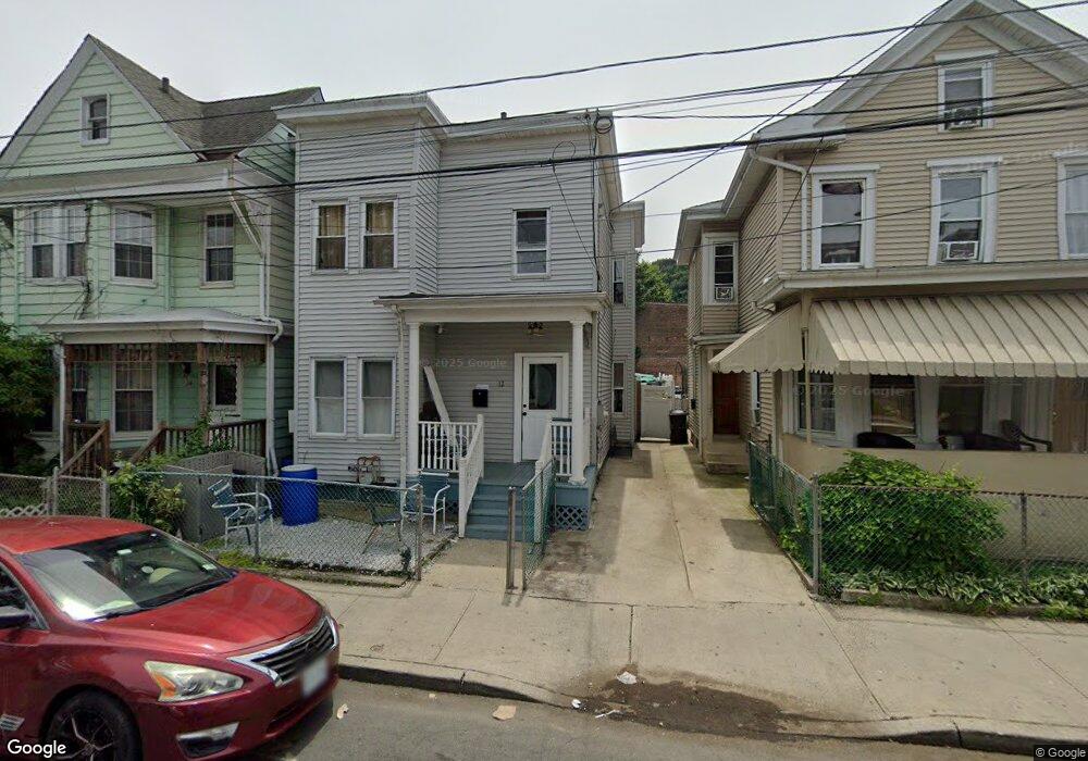
12 Broad St Haverstraw, NY 10927
Estimated Value: $451,000 - $510,000
5
Beds
1
Bath
1,760
Sq Ft
$274/Sq Ft
Est. Value
About This Home
This home is located at 12 Broad St, Haverstraw, NY 10927 and is currently estimated at $482,214, approximately $273 per square foot. 12 Broad St is a home located in Rockland County with nearby schools including Haverstraw Elementary School, West Haverstraw Elementary School, and Fieldstone Secondary School.
Ownership History
Date
Name
Owned For
Owner Type
Purchase Details
Closed on
Nov 18, 2016
Sold by
Garcia Domingo
Bought by
Garcia Pedro
Current Estimated Value
Home Financials for this Owner
Home Financials are based on the most recent Mortgage that was taken out on this home.
Original Mortgage
$152,192
Outstanding Balance
$123,887
Interest Rate
3.87%
Mortgage Type
FHA
Estimated Equity
$358,327
Create a Home Valuation Report for This Property
The Home Valuation Report is an in-depth analysis detailing your home's value as well as a comparison with similar homes in the area
Home Values in the Area
Average Home Value in this Area
Purchase History
| Date | Buyer | Sale Price | Title Company |
|---|---|---|---|
| Garcia Pedro | $155,000 | Judicial Title |
Source: Public Records
Mortgage History
| Date | Status | Borrower | Loan Amount |
|---|---|---|---|
| Open | Garcia Pedro | $152,192 |
Source: Public Records
Tax History Compared to Growth
Tax History
| Year | Tax Paid | Tax Assessment Tax Assessment Total Assessment is a certain percentage of the fair market value that is determined by local assessors to be the total taxable value of land and additions on the property. | Land | Improvement |
|---|---|---|---|---|
| 2024 | $46,510 | $166,100 | $68,600 | $97,500 |
| 2023 | $46,510 | $166,100 | $68,600 | $97,500 |
| 2022 | $44,016 | $166,100 | $68,600 | $97,500 |
| 2021 | $41,930 | $166,100 | $68,600 | $97,500 |
| 2020 | $10,613 | $166,100 | $68,600 | $97,500 |
| 2019 | $2,468 | $166,100 | $68,600 | $97,500 |
| 2018 | $10,381 | $166,100 | $68,600 | $97,500 |
| 2017 | $9,866 | $166,100 | $68,600 | $97,500 |
| 2016 | $9,839 | $166,100 | $68,600 | $97,500 |
| 2015 | -- | $166,100 | $68,600 | $97,500 |
| 2014 | -- | $166,100 | $68,600 | $97,500 |
Source: Public Records
Map
Nearby Homes
- 20 W Broad St
- 25 Fourth St
- 24 Partition St
- 127 Hudson Ave
- 112 Clove Ave
- 9 W Lincoln St
- 27 Conger Ave
- 59 Hudson Ave
- 60 Hudson Ave
- 9 Hillside Ave
- 37 Conklin Ave
- 68 Hillside Ave
- 1308 Round Pointe Dr Unit 1308
- 1207 Round Pointe Dr
- 1320 Round Pointe Dr
- 14 Harbor Pointe Dr
- 37 Harbor Pointe Dr Unit 115
- 2 Leeward Dr Unit 41
- 31 Spring St
- 3203 Leeward Dr
- 10 Broad St
- 10 Broad St Unit 2
- 33 Wayne St
- 11 Wayne St Unit 13
- 22 Broad St Unit Bottom
- 18 Broadway Unit 3
- 11 Broad St
- 13 Broad St
- 24 Broad St Unit b
- 24 Broad St
- 24 Broad St Unit Bottom
- 9 Broad St
- 16 Broadway Unit 2
- 26 Broad St
- 7 Broad St
- 15 Broad St
- 14 Broadway
- 14 Broadway Unit 201
- 14 Broadway Unit 202
- 14 Broadway Unit 206