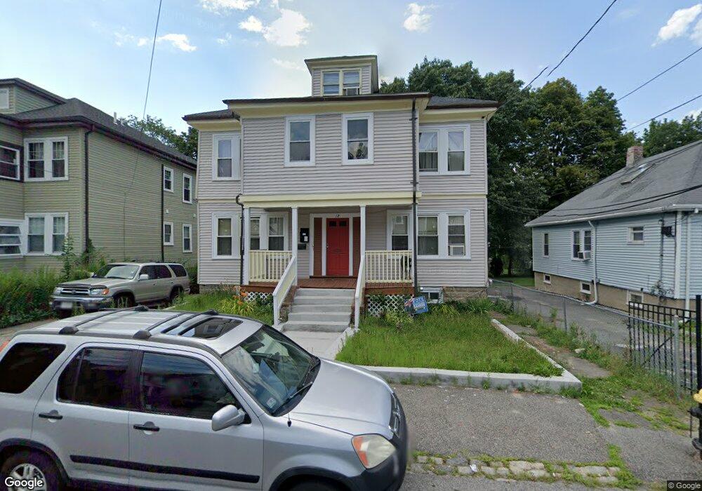
12 Brockton St Mattapan, MA 02126
Southern Mattapan NeighborhoodEstimated Value: $746,236 - $921,000
6
Beds
2
Baths
2,652
Sq Ft
$310/Sq Ft
Est. Value
About This Home
This home is located at 12 Brockton St, Mattapan, MA 02126 and is currently estimated at $822,309, approximately $310 per square foot. 12 Brockton St is a home located in Suffolk County with nearby schools including KIPP Academy Boston Charter School and Berea Seventh-day Adventist Academy.
Create a Home Valuation Report for This Property
The Home Valuation Report is an in-depth analysis detailing your home's value as well as a comparison with similar homes in the area
Home Values in the Area
Average Home Value in this Area
Tax History Compared to Growth
Tax History
| Year | Tax Paid | Tax Assessment Tax Assessment Total Assessment is a certain percentage of the fair market value that is determined by local assessors to be the total taxable value of land and additions on the property. | Land | Improvement |
|---|---|---|---|---|
| 2025 | $6,896 | $595,500 | $210,800 | $384,700 |
| 2024 | $6,314 | $579,300 | $188,200 | $391,100 |
| 2023 | $5,869 | $546,500 | $177,500 | $369,000 |
| 2022 | $5,946 | $546,500 | $177,500 | $369,000 |
| 2021 | $5,301 | $496,800 | $161,400 | $335,400 |
| 2020 | $4,470 | $423,300 | $160,300 | $263,000 |
| 2019 | $4,133 | $392,100 | $119,200 | $272,900 |
| 2018 | $3,670 | $350,200 | $119,200 | $231,000 |
| 2017 | $3,566 | $336,700 | $119,200 | $217,500 |
| 2016 | $3,367 | $306,100 | $119,200 | $186,900 |
| 2015 | $3,164 | $261,300 | $110,900 | $150,400 |
| 2014 | $3,043 | $241,900 | $110,900 | $131,000 |
Source: Public Records
Map
Nearby Homes
- 10 Brockton St
- 770 Cummins Hwy Unit 1
- 770 Cummins Hwy Unit 22
- 95 Woodhaven St
- 839-843 Cummins Hwy
- 231 Itasca St
- 90 Hollingsworth St
- 48-50 Rockdale St
- 20 Monterey Ave
- 100 Itasca St
- 1465 Blue Hill Ave
- 60 and 64 Monterey Ave
- 116 Almont St
- 34 Ridlon Rd
- 23 Caton St
- 12 Hiawatha Rd
- 645 River St
- 14-14R Kennebec St
- 179 Hebron St
- 4 Crossman St Unit 4