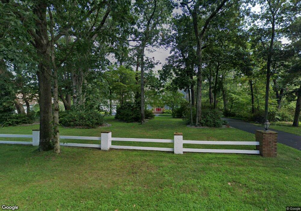
12 Brookridge Rd Cape May Court House, NJ 08210
Estimated Value: $865,425 - $1,288,000
--
Bed
--
Bath
3,078
Sq Ft
$331/Sq Ft
Est. Value
About This Home
This home is located at 12 Brookridge Rd, Cape May Court House, NJ 08210 and is currently estimated at $1,018,356, approximately $330 per square foot. 12 Brookridge Rd is a home located in Cape May County with nearby schools including Middle Township Elementary No. 1, Middle Township Elementary No. 2, and Middle Township Middle School.
Ownership History
Date
Name
Owned For
Owner Type
Purchase Details
Closed on
Jun 28, 2010
Sold by
Vezin Donovan and Vezin Pamela
Bought by
Zitnay Md Christopher G and Hong Md John S
Current Estimated Value
Home Financials for this Owner
Home Financials are based on the most recent Mortgage that was taken out on this home.
Original Mortgage
$385,000
Outstanding Balance
$129,729
Interest Rate
4.88%
Mortgage Type
New Conventional
Estimated Equity
$888,627
Purchase Details
Closed on
Nov 1, 1999
Sold by
Matalucci Michael A
Bought by
Vezin Donovan and Vezin Pamela
Create a Home Valuation Report for This Property
The Home Valuation Report is an in-depth analysis detailing your home's value as well as a comparison with similar homes in the area
Home Values in the Area
Average Home Value in this Area
Purchase History
| Date | Buyer | Sale Price | Title Company |
|---|---|---|---|
| Zitnay Md Christopher G | $525,000 | None Available | |
| Vezin Donovan | $425,000 | -- |
Source: Public Records
Mortgage History
| Date | Status | Borrower | Loan Amount |
|---|---|---|---|
| Open | Zitnay Md Christopher G | $385,000 |
Source: Public Records
Tax History Compared to Growth
Tax History
| Year | Tax Paid | Tax Assessment Tax Assessment Total Assessment is a certain percentage of the fair market value that is determined by local assessors to be the total taxable value of land and additions on the property. | Land | Improvement |
|---|---|---|---|---|
| 2025 | $11,085 | $525,600 | $183,600 | $342,000 |
| 2024 | $11,085 | $525,600 | $183,600 | $342,000 |
| 2023 | $10,806 | $525,600 | $183,600 | $342,000 |
| 2022 | $9,997 | $500,600 | $183,600 | $317,000 |
| 2021 | $9,757 | $500,600 | $183,600 | $317,000 |
| 2020 | $9,556 | $500,600 | $183,600 | $317,000 |
| 2019 | $9,311 | $500,600 | $183,600 | $317,000 |
| 2018 | $9,166 | $500,600 | $183,600 | $317,000 |
| 2017 | $8,981 | $500,600 | $183,600 | $317,000 |
| 2016 | $8,756 | $500,600 | $183,600 | $317,000 |
| 2015 | $8,690 | $500,600 | $183,600 | $317,000 |
| 2014 | $8,635 | $500,600 | $183,600 | $317,000 |
Source: Public Records
Map
Nearby Homes
- 18 Brook Ridge Rd
- 28 Pinewood Ct
- 3 Fairway Dr
- 26 Pine Wood Ct
- 18 Avalon Blvd
- 19 Eagle Way Ct
- 17 Eagle Way Ct
- 12 Seagrove Ave
- 30 Brooks Ave
- 201 Saint Andrews Dr Unit 201
- 1845 Route 9 N
- 1877 Route 9 N
- 809 Turnberry Ct Unit 809 TURNBERRY COURT
- 105 Congressional Dr
- 57 Siegtown Rd
- 63 Siegtown Rd
- 506 W Hampton Ct Unit C1
- 506 W Hampton Ct Unit 21
- 27 Siegtown Rd Unit 8G
- 23 Siegtown #7c Rd Unit 7C
- 14 Brookridge Rd
- 14 Brook Ridge Rd
- 10 Brookridge Rd
- 11 Fairway Dr
- 13 Brook Ridge Rd
- 13 Fairway Dr
- 9 Fairway Dr
- 1703 Route 9 N
- 16 Brookridge Rd
- 15 Brookridge Rd
- 19 Pine Wood Ct
- 27 Pinewood Ct
- 10 W Beaver Dam Rd
- 8 Brook Ridge Rd
- 19 Pinewood Ct
- 1711 N Route 9
- 7 Fairway Dr
- 1619 N Route 9
- 6 W Beaver Dam Rd
- 5 Fairway Dr