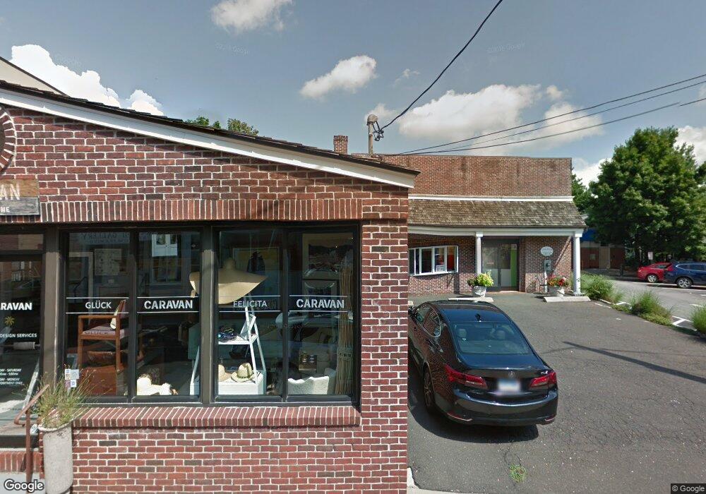
12 Burtis Ave New Canaan, CT 06840
--
Bed
--
Bath
1,240
Sq Ft
6,970
Sq Ft Lot
About This Home
This home is located at 12 Burtis Ave, New Canaan, CT 06840. 12 Burtis Ave is a home located in Fairfield County with nearby schools including South Elementary School, Saxe Middle School, and New Canaan High School.
Ownership History
Date
Name
Owned For
Owner Type
Purchase Details
Closed on
Jan 7, 2016
Sold by
11 & 12 Burtis Avenue Ll
Bought by
Acm Rams Fund Lv B Llc
Home Financials for this Owner
Home Financials are based on the most recent Mortgage that was taken out on this home.
Original Mortgage
$2,315,000
Outstanding Balance
$97,202
Interest Rate
5%
Mortgage Type
Commercial
Purchase Details
Closed on
Sep 15, 2004
Sold by
Belcher Ernest A
Bought by
Cuda Robert and Cuda Kim
Create a Home Valuation Report for This Property
The Home Valuation Report is an in-depth analysis detailing your home's value as well as a comparison with similar homes in the area
Home Values in the Area
Average Home Value in this Area
Purchase History
| Date | Buyer | Sale Price | Title Company |
|---|---|---|---|
| Acm Rams Fund Lv B Llc | $1,728,000 | -- | |
| Acm Rams Fund Lv B Llc | $1,560,423 | -- | |
| Cuda Robert | $450,000 | -- | |
| Cuda Robert | $450,000 | -- |
Source: Public Records
Mortgage History
| Date | Status | Borrower | Loan Amount |
|---|---|---|---|
| Open | Cuda Robert | $2,315,000 | |
| Closed | Cuda Robert | $2,315,000 | |
| Previous Owner | Cuda Robert | $1,350,000 |
Source: Public Records
Tax History Compared to Growth
Tax History
| Year | Tax Paid | Tax Assessment Tax Assessment Total Assessment is a certain percentage of the fair market value that is determined by local assessors to be the total taxable value of land and additions on the property. | Land | Improvement |
|---|---|---|---|---|
| 2025 | $20,841 | $1,248,730 | $683,550 | $565,180 |
| 2024 | $20,155 | $1,248,730 | $683,550 | $565,180 |
| 2023 | $20,543 | $1,084,650 | $629,160 | $455,490 |
| 2022 | $19,925 | $1,084,650 | $629,160 | $455,490 |
| 2021 | $19,697 | $1,084,650 | $629,160 | $455,490 |
| 2020 | $19,697 | $1,084,650 | $629,160 | $455,490 |
| 2019 | $19,784 | $1,084,650 | $629,160 | $455,490 |
| 2018 | $16,524 | $938,420 | $588,000 | $350,420 |
| 2017 | $16,224 | $938,420 | $588,000 | $350,420 |
| 2016 | $15,856 | $938,420 | $588,000 | $350,420 |
| 2015 | $16,082 | $938,420 | $588,000 | $350,420 |
| 2014 | $15,110 | $938,420 | $588,000 | $350,420 |
Source: Public Records
Map
Nearby Homes
- 15 Burtis Ave Unit Townhome D
- 15 Burtis Ave Unit West Penthouse B
- 15 Burtis Ave Unit East Penthouse C
- 15 Burtis Ave Unit Townhome A
- 15 Burtis Ave Unit East Plaza 203
- 60 East Ave
- 64 East Ave
- 42 Forest St Unit A
- 79 Locust Ave Unit 212
- 180 Summer St
- 136 South Ave
- 197 Park St Unit 13
- 289 New Norwalk Rd Unit 22
- 50 Harrison Ave
- 145 River St
- 317 Park St
- 31 Selleck Place
- 38 Fitch Ln
- 61 Smith Ridge Rd
- 52 Garibaldi Ln
- 120 Main St
- 112 Main St
- 11 Burtis Ave
- 21 Burtis Ave Unit rear
- 21 Burtis Ave
- 21 Burtis Ave Unit upstairs/studio
- 25 East Ave
- 134 Main St
- 33 East Ave
- 39 East Ave
- 37 East Ave Unit B
- 39 East Ave Unit A
- 37 East Ave Unit D
- 37 East Ave Unit TOP R
- 39A East Ave Unit A
- 39A East Ave
- 37 East Ave
- 37 East Ave Unit Top Right
- 39 East Ave Unit bottom right
- 37 East Ave Unit A