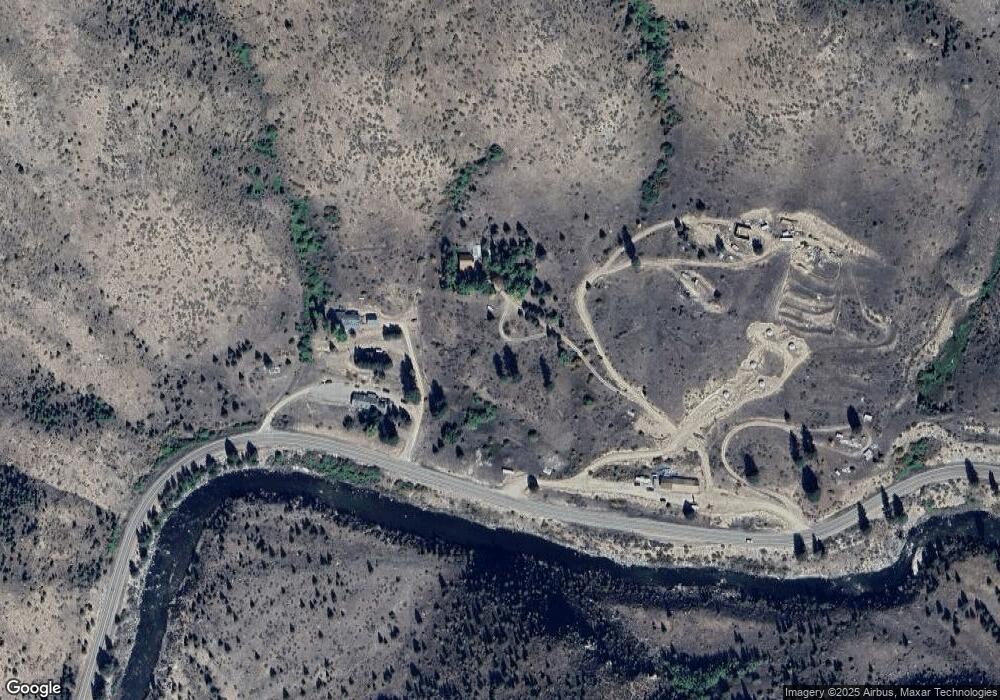
12 Calamity Ln Lowman, ID 83637
Estimated Value: $302,000 - $533,747
1
Bed
1
Bath
288
Sq Ft
$1,417/Sq Ft
Est. Value
About This Home
This home is located at 12 Calamity Ln, Lowman, ID 83637 and is currently estimated at $408,187, approximately $1,417 per square foot. 12 Calamity Ln is a home with nearby schools including Lowman Elementary School.
Ownership History
Date
Name
Owned For
Owner Type
Purchase Details
Closed on
Nov 18, 2010
Sold by
Doty Harlan R and Myers Penny M
Bought by
Hergenrider Nadine M
Current Estimated Value
Home Financials for this Owner
Home Financials are based on the most recent Mortgage that was taken out on this home.
Original Mortgage
$16,400
Interest Rate
4.23%
Mortgage Type
Second Mortgage Made To Cover Down Payment
Create a Home Valuation Report for This Property
The Home Valuation Report is an in-depth analysis detailing your home's value as well as a comparison with similar homes in the area
Home Values in the Area
Average Home Value in this Area
Purchase History
| Date | Buyer | Sale Price | Title Company |
|---|---|---|---|
| Hergenrider Nadine M | -- | -- |
Source: Public Records
Mortgage History
| Date | Status | Borrower | Loan Amount |
|---|---|---|---|
| Closed | Hergenrider Nadine M | $16,400 |
Source: Public Records
Tax History Compared to Growth
Tax History
| Year | Tax Paid | Tax Assessment Tax Assessment Total Assessment is a certain percentage of the fair market value that is determined by local assessors to be the total taxable value of land and additions on the property. | Land | Improvement |
|---|---|---|---|---|
| 2024 | $1,185 | $444,218 | $139,760 | $304,458 |
| 2023 | $1,185 | $315,218 | $135,760 | $179,458 |
| 2022 | $1,400 | $331,684 | $114,240 | $217,444 |
| 2021 | $1,161 | $162,218 | $88,960 | $73,258 |
| 2020 | $1,064 | $246,985 | $73,960 | $173,025 |
| 2019 | $1,109 | $122,624 | $60,414 | $62,210 |
| 2018 | $1,097 | $208,206 | $60,414 | $147,792 |
| 2017 | $1,058 | $91,592 | $53,414 | $38,178 |
| 2016 | $1,074 | $91,592 | $53,414 | $38,178 |
| 2015 | $952 | $146,200 | $36,030 | $110,170 |
| 2014 | $827 | $130,233 | $36,030 | $94,203 |
| 2013 | -- | $131,396 | $36,030 | $95,366 |
| 2012 | -- | $131,034 | $36,030 | $95,004 |
Source: Public Records
Map
Nearby Homes
- 12 Plateau Rd
- 25 Lewis Dr
- TBD Victory Ln
- 4 Jolene Dr
- TBD Forest Service Road 542
- 8395 Idaho 21
- 46 Aspen Way
- 44 Osprey Dr
- 10 Bransons Dr
- 1 Hidden Way
- 6 Willow Dr
- 123 Alder Dr
- 117 Alder Dr
- 750 Summit Plat Rd
- 31 Valley Rd
- TBD Basari Estates Lot 1
- TBD Basari Estates Lot 5
- TBD Eddy Creek Road Lot 1
- 17 Riverview Way
- 11 Golden Age Mine Rd
