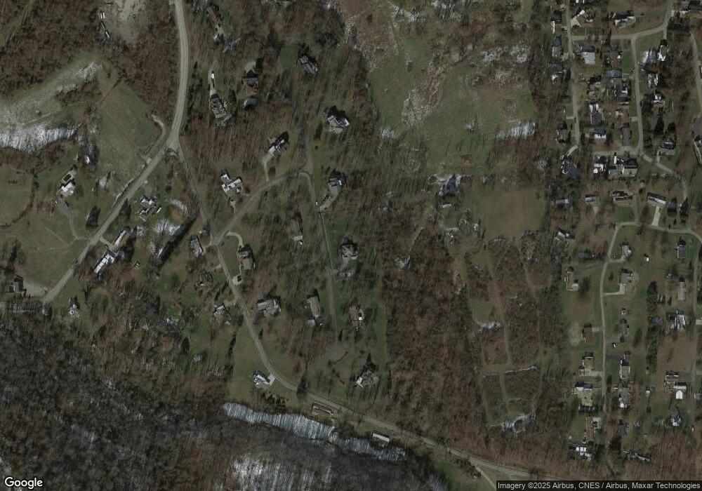
12 Cameron Rd Unit 1915 Clarksburg, WV 26301
Estimated Value: $510,000 - $644,000
4
Beds
4
Baths
3,959
Sq Ft
$152/Sq Ft
Est. Value
About This Home
This home is located at 12 Cameron Rd Unit 1915, Clarksburg, WV 26301 and is currently estimated at $603,518, approximately $152 per square foot. 12 Cameron Rd Unit 1915 is a home located in Harrison County.
Ownership History
Date
Name
Owned For
Owner Type
Purchase Details
Closed on
Aug 7, 2017
Sold by
Randolph Roy D and Randolph Amelia King
Bought by
Yokum Kevin A and Yokum Amy C
Current Estimated Value
Home Financials for this Owner
Home Financials are based on the most recent Mortgage that was taken out on this home.
Original Mortgage
$352,000
Outstanding Balance
$293,717
Interest Rate
3.96%
Estimated Equity
$309,801
Purchase Details
Closed on
May 20, 2014
Sold by
Turner Dean and Turner Kathryn L
Bought by
King Randolph Iii Roy D and King Randolph Amelia
Home Financials for this Owner
Home Financials are based on the most recent Mortgage that was taken out on this home.
Original Mortgage
$344,000
Interest Rate
4.16%
Purchase Details
Closed on
Nov 20, 2007
Sold by
Galey J Patrick and Galey Hillary C M
Bought by
Turner Dean and Turner Kathryn L
Home Financials for this Owner
Home Financials are based on the most recent Mortgage that was taken out on this home.
Original Mortgage
$315,000
Interest Rate
6.27%
Create a Home Valuation Report for This Property
The Home Valuation Report is an in-depth analysis detailing your home's value as well as a comparison with similar homes in the area
Home Values in the Area
Average Home Value in this Area
Purchase History
| Date | Buyer | Sale Price | Title Company |
|---|---|---|---|
| Yokum Kevin A | $440,000 | -- | |
| King Randolph Iii Roy D | $430,000 | None Available | |
| Turner Dean | $515,000 | None Available |
Source: Public Records
Mortgage History
| Date | Status | Borrower | Loan Amount |
|---|---|---|---|
| Open | Yokum Kevin A | $352,000 | |
| Previous Owner | King Randolph Iii Roy D | $344,000 | |
| Previous Owner | Turner Dean | $315,000 |
Source: Public Records
Tax History Compared to Growth
Tax History
| Year | Tax Paid | Tax Assessment Tax Assessment Total Assessment is a certain percentage of the fair market value that is determined by local assessors to be the total taxable value of land and additions on the property. | Land | Improvement |
|---|---|---|---|---|
| 2024 | $3,534 | $285,900 | $36,180 | $249,720 |
| 2023 | $3,279 | $265,320 | $36,180 | $229,140 |
| 2022 | $3,133 | $265,860 | $36,180 | $229,680 |
| 2021 | $3,089 | $265,260 | $36,180 | $229,080 |
| 2020 | $3,051 | $264,600 | $36,180 | $228,420 |
| 2019 | $3,068 | $265,980 | $36,180 | $229,800 |
| 2018 | $2,949 | $256,800 | $36,180 | $220,620 |
| 2017 | $3,045 | $266,400 | $36,180 | $230,220 |
| 2016 | $2,936 | $260,040 | $34,260 | $225,780 |
| 2015 | $2,890 | $254,520 | $34,260 | $220,260 |
| 2014 | $2,850 | $251,280 | $34,260 | $217,020 |
Source: Public Records
Map
Nearby Homes
- 280 Brighton Circle Rd
- 1100 Country Club Rd
- 19 Golf Course Dr
- 794 Laurel Park Rd
- TBD Doll Run Rd
- 1672 Milford St
- 482 County Route 25 27
- 121 Stoneybrook Rd
- 0 Eagle Way
- 99 Liberty Ave
- 0 Milford St
- 211 Liberty Ave
- 725 Milford St
- 125 Hartland Ave
- 129 Thorn St
- 790 Verdun St
- 256 W Woodland Ave
- 108 W Woodland Ave
- 511 Milford St
- 600 King St
- 18 Cameron Rd
- 14 Cameron Rd
- 8 Cameron Rd
- 15 Cameron Rd
- 13 Cameron Rd
- 11 Cameron Rd
- 117 Country Club Rd
- 159 Country Club Rd
- 4 Cameron Rd
- 1 Cameron Rd
- 2 Cameron Rd
- 150 Country Club Rd
- 118 Country Club Rd
- 208 Country Club Rd
- 9 Rt 19-15 Rd
- 258 Country Club Rd
- 3 Cameron Rd Unit 1915
- 312 Country Club Rd
- 1777 Good Hope Pike
- 6 Brighton Cir
