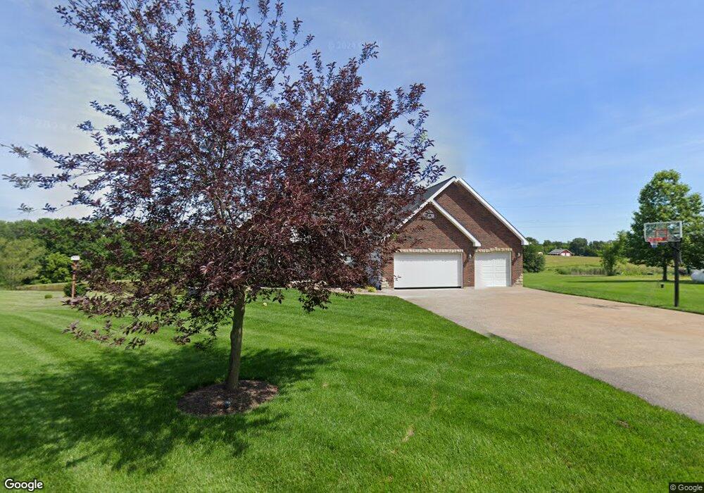
12 Camp Creek Dr Foristell, MO 63348
Estimated Value: $479,000 - $564,865
3
Beds
2
Baths
2,108
Sq Ft
$249/Sq Ft
Est. Value
About This Home
This home is located at 12 Camp Creek Dr, Foristell, MO 63348 and is currently estimated at $523,955, approximately $248 per square foot. 12 Camp Creek Dr is a home located in St. Charles County with nearby schools including Wabash Elementary.
Ownership History
Date
Name
Owned For
Owner Type
Purchase Details
Closed on
Jan 31, 2005
Sold by
Horack Anthony D and Horack Jill M
Bought by
Horack Anthony D and Horack Jill M
Current Estimated Value
Home Financials for this Owner
Home Financials are based on the most recent Mortgage that was taken out on this home.
Original Mortgage
$181,500
Outstanding Balance
$92,981
Interest Rate
5.87%
Mortgage Type
New Conventional
Estimated Equity
$430,974
Purchase Details
Closed on
Apr 19, 2002
Sold by
Sachs Darrell J and Sachs Maurice G
Bought by
Horack Edward P and Horack Gaila J
Create a Home Valuation Report for This Property
The Home Valuation Report is an in-depth analysis detailing your home's value as well as a comparison with similar homes in the area
Home Values in the Area
Average Home Value in this Area
Purchase History
| Date | Buyer | Sale Price | Title Company |
|---|---|---|---|
| Horack Anthony D | -- | Freedom Title | |
| Horack Edward P | -- | -- |
Source: Public Records
Mortgage History
| Date | Status | Borrower | Loan Amount |
|---|---|---|---|
| Open | Horack Anthony D | $181,500 |
Source: Public Records
Tax History Compared to Growth
Tax History
| Year | Tax Paid | Tax Assessment Tax Assessment Total Assessment is a certain percentage of the fair market value that is determined by local assessors to be the total taxable value of land and additions on the property. | Land | Improvement |
|---|---|---|---|---|
| 2025 | $5,323 | $83,261 | -- | -- |
| 2023 | $5,323 | $83,974 | $0 | $0 |
| 2022 | $4,472 | $65,832 | $0 | $0 |
| 2021 | $4,476 | $65,832 | $0 | $0 |
| 2020 | $4,172 | $58,849 | $0 | $0 |
| 2019 | $3,872 | $58,849 | $0 | $0 |
| 2018 | $3,734 | $54,077 | $0 | $0 |
| 2017 | $3,733 | $54,077 | $0 | $0 |
| 2016 | $3,734 | $51,834 | $0 | $0 |
| 2015 | $3,685 | $51,834 | $0 | $0 |
| 2014 | $3,273 | $49,399 | $0 | $0 |
Source: Public Records
Map
Nearby Homes
- 1616 Dietrich Rd
- 560 Cook Farm Dr
- 1265 Dietrich Rd
- 101 Jameson Crossing
- 212 Creek Valley Dr
- 201 Creek Valley Dr
- 26 Madre Ct
- 311 Lopin Ct
- 1605 High Sierra Dr
- 1158 Marathon Dr
- 1160 Marathon Dr
- 1162 Marathon Dr
- 1154 Marathon Dr
- 1156 Marathon Dr
- 1155 Marathon Dr
- 1157 Marathon Dr
- 1159 Marathon Dr
- 31899 Red Cedar Ct
- 149 Sumac Ridge Dr
- 91 Kinker Dr
- 14 Camp Creek Dr
- 10 Camp Creek Dr
- 15 Camp Creek Dr
- 16 Camp Creek Dr
- 1639 Dietrich Rd
- 1642 Dietrich Rd
- 1600 Dietrich Rd
- 1595 Dietrich Rd
- 1678 Dietrich Rd
- 6 Kendall Pointe Ct
- 1679 Dietrich Rd
- 1670 Dietrich Rd
- 7 Kendall Pointe Ct
- 7 Kendall Pointe Ct
- 0 Kendall Pointe Ct Unit TBB
- 0TBB Kendall Pointe (1 5-Story)
- 0TBB Kendall Pointe (2-Story)
- 0TBB Kendall Pointe (1 5 Story)
- 0TBB Kendall Pointe (2 Story)
- 0TBB Kendall Pointe (Ranch)