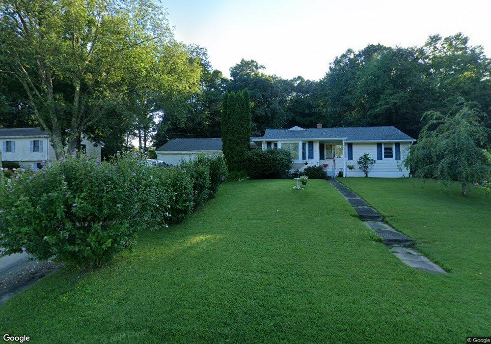
12 Carol Dr Uncasville, CT 06382
Estimated Value: $289,000 - $358,000
2
Beds
2
Baths
996
Sq Ft
$323/Sq Ft
Est. Value
About This Home
This home is located at 12 Carol Dr, Uncasville, CT 06382 and is currently estimated at $321,480, approximately $322 per square foot. 12 Carol Dr is a home located in New London County with nearby schools including Leonard J. Tyl Middle School, Montville High School, and Bradley School-New London Regional.
Ownership History
Date
Name
Owned For
Owner Type
Purchase Details
Closed on
Dec 6, 1996
Sold by
Burrows Robert R
Bought by
Anton Laura J
Current Estimated Value
Home Financials for this Owner
Home Financials are based on the most recent Mortgage that was taken out on this home.
Original Mortgage
$105,400
Interest Rate
7.83%
Mortgage Type
Unknown
Create a Home Valuation Report for This Property
The Home Valuation Report is an in-depth analysis detailing your home's value as well as a comparison with similar homes in the area
Home Values in the Area
Average Home Value in this Area
Purchase History
| Date | Buyer | Sale Price | Title Company |
|---|---|---|---|
| Anton Laura J | $106,000 | -- | |
| Anton Laura J | $106,000 | -- |
Source: Public Records
Mortgage History
| Date | Status | Borrower | Loan Amount |
|---|---|---|---|
| Open | Anton Laura J | $50,000 | |
| Closed | Anton Laura J | $114,500 | |
| Closed | Anton Laura J | $105,400 |
Source: Public Records
Tax History Compared to Growth
Tax History
| Year | Tax Paid | Tax Assessment Tax Assessment Total Assessment is a certain percentage of the fair market value that is determined by local assessors to be the total taxable value of land and additions on the property. | Land | Improvement |
|---|---|---|---|---|
| 2025 | $3,680 | $127,470 | $31,500 | $95,970 |
| 2024 | $3,540 | $127,470 | $31,500 | $95,970 |
| 2023 | $3,540 | $127,470 | $31,500 | $95,970 |
| 2022 | $3,405 | $127,470 | $31,500 | $95,970 |
| 2021 | $6,440 | $97,640 | $34,350 | $63,290 |
| 2020 | $6,440 | $97,640 | $34,350 | $63,290 |
| 2019 | $5,770 | $97,640 | $34,350 | $63,290 |
| 2018 | $3,098 | $97,640 | $34,350 | $63,290 |
| 2017 | $5,770 | $97,640 | $34,350 | $63,290 |
| 2016 | $3,054 | $99,780 | $42,930 | $56,850 |
| 2015 | $3,054 | $99,780 | $42,930 | $56,850 |
| 2014 | $2,931 | $99,780 | $42,930 | $56,850 |
Source: Public Records
Map
Nearby Homes
- 320 Maple Ave
- 523 Route 163
- 45 Lynch Hill Rd
- 727 Old Colchester Rd
- 49 Cottonwood Ln
- 270 Gay Hill Rd
- 79 Cottonwood Ln
- 0 Monahan Dr
- 1 High Ridge Cir
- 5 Mountain Laurel Ridge
- 57 Roselund Hill Rd
- 2 Mountain Laurel Ridge
- 19 Wyndwood Rd
- 22 Heather Brook Rd
- 82C Pires Dr
- 10 Marcia Dr
- 995 Old Colchester Rd
- 10 Gutterman Rd
- 170 Raymond Hill Rd
- 104 Woodland Dr Unit A