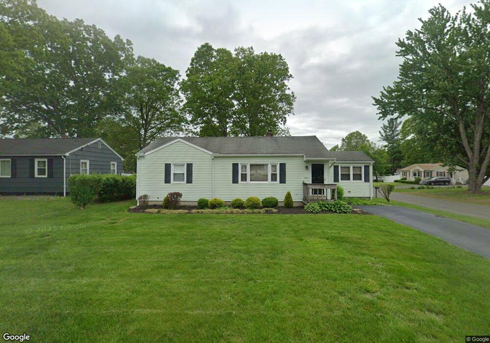
12 Carole Ave Westfield, MA 01085
Estimated Value: $281,000 - $311,000
2
Beds
1
Bath
1,076
Sq Ft
$275/Sq Ft
Est. Value
About This Home
This home is located at 12 Carole Ave, Westfield, MA 01085 and is currently estimated at $295,612, approximately $274 per square foot. 12 Carole Ave is a home located in Hampden County with nearby schools including Westfield High School and Saint Mary High School.
Ownership History
Date
Name
Owned For
Owner Type
Purchase Details
Closed on
Jul 27, 2007
Sold by
Oleksak Barbara E and Oleksak David J
Bought by
Masciadrelli Ellen M and Robienczak Micheal J
Current Estimated Value
Home Financials for this Owner
Home Financials are based on the most recent Mortgage that was taken out on this home.
Original Mortgage
$185,600
Outstanding Balance
$118,231
Interest Rate
6.78%
Mortgage Type
Purchase Money Mortgage
Estimated Equity
$177,381
Create a Home Valuation Report for This Property
The Home Valuation Report is an in-depth analysis detailing your home's value as well as a comparison with similar homes in the area
Home Values in the Area
Average Home Value in this Area
Purchase History
| Date | Buyer | Sale Price | Title Company |
|---|---|---|---|
| Masciadrelli Ellen M | $185,600 | -- |
Source: Public Records
Mortgage History
| Date | Status | Borrower | Loan Amount |
|---|---|---|---|
| Open | Masciadrelli Ellen M | $185,600 |
Source: Public Records
Tax History Compared to Growth
Tax History
| Year | Tax Paid | Tax Assessment Tax Assessment Total Assessment is a certain percentage of the fair market value that is determined by local assessors to be the total taxable value of land and additions on the property. | Land | Improvement |
|---|---|---|---|---|
| 2025 | $3,730 | $245,700 | $97,100 | $148,600 |
| 2024 | $3,783 | $236,900 | $88,300 | $148,600 |
| 2023 | $3,509 | $214,300 | $84,000 | $130,300 |
| 2022 | $3,509 | $189,800 | $75,100 | $114,700 |
| 2021 | $3,397 | $179,900 | $70,800 | $109,100 |
| 2020 | $3,299 | $171,400 | $70,800 | $100,600 |
| 2019 | $3,220 | $163,700 | $67,400 | $96,300 |
| 2018 | $3,169 | $163,700 | $67,400 | $96,300 |
| 2017 | $3,117 | $160,500 | $68,400 | $92,100 |
| 2016 | $3,120 | $160,500 | $68,400 | $92,100 |
| 2015 | $2,976 | $160,500 | $68,400 | $92,100 |
| 2014 | $2,223 | $160,500 | $68,400 | $92,100 |
Source: Public Records
Map
Nearby Homes
- 70 Yeoman Ave
- 13 Furrow St
- 40 Prospect St Unit 2F
- 148 Prospect Street Extension
- 10 Ethan Ave
- 48 Murray Ave
- 3 Norton St
- 49 Pochassic St
- Lot 3 Montgomery
- 291 Pochassic Rd
- 194 Lockhouse Rd
- 8 Ellis St
- 4 Columbia St
- 77 Orange St
- 351 N Elm St
- 72-74 Notre Dame St
- 28 Union St
- 19 Arch Rd
- 113 Franklin St
- 52 Simmons Brook Dr
- 8 Carole Ave
- 117 Yeoman Ave Unit 1
- 124 Yeoman Ave
- 4 Carole Ave
- 130 Yeoman Ave
- 120 Roosevelt Ave
- 11 Carole Ave
- 118 Yeoman Ave
- 9 Carole Ave
- 111 Yeoman Ave
- 3 Carole Ave
- 142 Yeoman Ave
- 114 Roosevelt Ave
- 125 Mullen Ave
- 110 Yeoman Ave
- 115 Mullen Ave
- 149 Yeoman Ave
- 121 Roosevelt Ave
- 139 Roosevelt Ave
- 105 Yeoman Ave