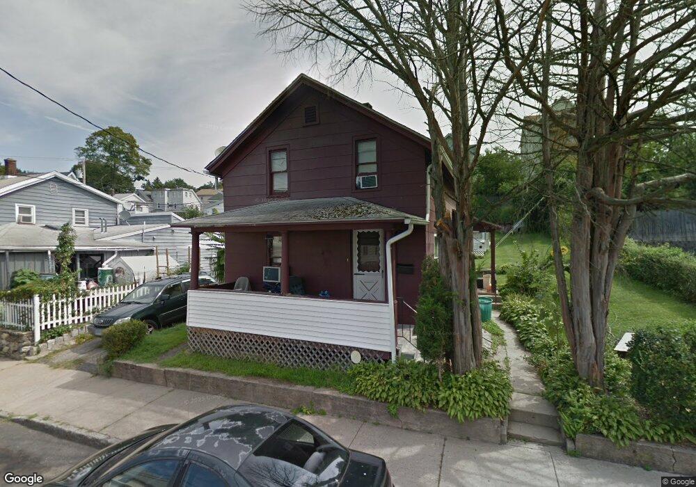
12 Carroll St Naugatuck, CT 06770
Estimated Value: $231,154 - $301,000
2
Beds
2
Baths
966
Sq Ft
$266/Sq Ft
Est. Value
About This Home
This home is located at 12 Carroll St, Naugatuck, CT 06770 and is currently estimated at $256,789, approximately $265 per square foot. 12 Carroll St is a home located in New Haven County with nearby schools including City Hill Middle School and Naugatuck High School.
Ownership History
Date
Name
Owned For
Owner Type
Purchase Details
Closed on
Nov 9, 2005
Sold by
Squatriglia Raymond F and Squatriglia William
Bought by
Cooks Joseph and Cooks Lucy
Current Estimated Value
Home Financials for this Owner
Home Financials are based on the most recent Mortgage that was taken out on this home.
Original Mortgage
$16,900
Interest Rate
5.93%
Mortgage Type
Purchase Money Mortgage
Purchase Details
Closed on
Mar 30, 2005
Sold by
Squatriglia Mary E
Bought by
Squatriglia Raymond F and Squatriglia Joan
Home Financials for this Owner
Home Financials are based on the most recent Mortgage that was taken out on this home.
Original Mortgage
$90,000
Interest Rate
5.61%
Mortgage Type
Purchase Money Mortgage
Create a Home Valuation Report for This Property
The Home Valuation Report is an in-depth analysis detailing your home's value as well as a comparison with similar homes in the area
Home Values in the Area
Average Home Value in this Area
Purchase History
| Date | Buyer | Sale Price | Title Company |
|---|---|---|---|
| Cooks Joseph | $109,333 | -- | |
| Cooks Joseph | $54,666 | -- | |
| Squatriglia Raymond F | $90,000 | -- |
Source: Public Records
Mortgage History
| Date | Status | Borrower | Loan Amount |
|---|---|---|---|
| Closed | Squatriglia Raymond F | $16,900 | |
| Open | Squatriglia Raymond F | $152,100 | |
| Previous Owner | Squatriglia Raymond F | $90,000 |
Source: Public Records
Tax History
| Year | Tax Paid | Tax Assessment Tax Assessment Total Assessment is a certain percentage of the fair market value that is determined by local assessors to be the total taxable value of land and additions on the property. | Land | Improvement |
|---|---|---|---|---|
| 2025 | $3,933 | $98,840 | $17,640 | $81,200 |
| 2024 | $4,131 | $98,840 | $17,640 | $81,200 |
| 2023 | $4,423 | $98,840 | $17,640 | $81,200 |
| 2022 | $2,743 | $57,450 | $14,810 | $42,640 |
| 2021 | $2,743 | $57,450 | $14,810 | $42,640 |
| 2020 | $2,743 | $57,450 | $14,810 | $42,640 |
| 2019 | $2,715 | $57,450 | $14,810 | $42,640 |
| 2018 | $3,238 | $66,980 | $27,730 | $39,250 |
| 2017 | $3,252 | $66,980 | $27,730 | $39,250 |
| 2016 | $3,193 | $66,980 | $27,730 | $39,250 |
| 2015 | $3,052 | $66,980 | $27,730 | $39,250 |
| 2014 | $3,018 | $66,980 | $27,730 | $39,250 |
| 2012 | $3,541 | $105,530 | $45,010 | $60,520 |
Source: Public Records
Map
Nearby Homes
- 18 Carroll St
- 18 Carroll St Unit 2
- 18 Carroll St Unit 1
- 185 Maple St
- 193 Maple St
- 11 Maple Terrace
- 22 Carroll St
- 15 Carroll St Unit 19
- 15 Carroll St Unit 1
- 15 Carroll St Unit 2
- 15 Maple Terrace
- 3 Maple Terrace
- 167 Maple St
- 167 Maple St Unit 1E
- 158 Maple St
- 28 Carroll St
- 184 Maple St
- 0 May St Unit W1062539
- 0 May St Unit L10020329
- 0 May St Unit L10102864
Your Personal Tour Guide
Ask me questions while you tour the home.