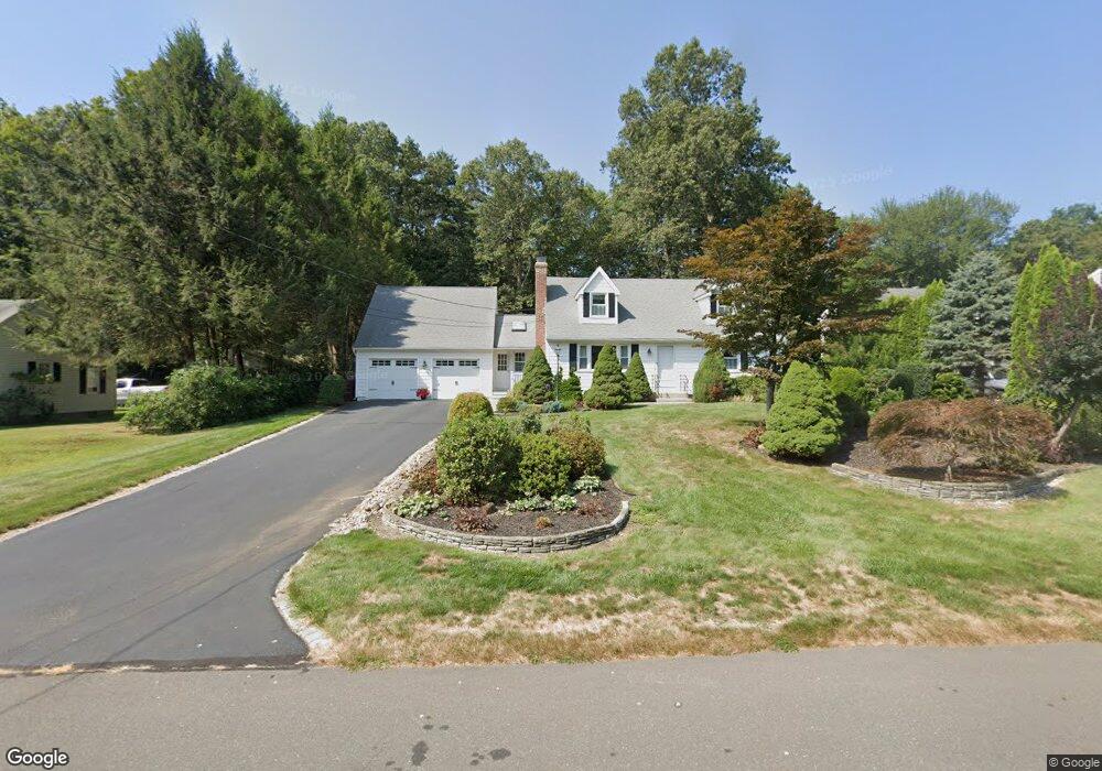
12 Cedar Ln Unionville, CT 06085
Estimated Value: $445,000 - $494,000
4
Beds
3
Baths
1,512
Sq Ft
$314/Sq Ft
Est. Value
About This Home
This home is located at 12 Cedar Ln, Unionville, CT 06085 and is currently estimated at $475,283, approximately $314 per square foot. 12 Cedar Ln is a home located in Hartford County with nearby schools including Union School, West Woods Upper Elementary School, and Irving A. Robbins Middle School.
Ownership History
Date
Name
Owned For
Owner Type
Purchase Details
Closed on
Nov 15, 2005
Sold by
Ouellette Leonard J and Ouellette Evelyn M
Bought by
Fisher Kenneth and Fisher Bonnie Jean
Current Estimated Value
Purchase Details
Closed on
Jun 30, 1997
Sold by
Nicksa Walter C
Bought by
Ouelette Evelyn M
Create a Home Valuation Report for This Property
The Home Valuation Report is an in-depth analysis detailing your home's value as well as a comparison with similar homes in the area
Home Values in the Area
Average Home Value in this Area
Purchase History
| Date | Buyer | Sale Price | Title Company |
|---|---|---|---|
| Fisher Kenneth | $320,000 | -- | |
| Ouelette Evelyn M | $155,000 | -- |
Source: Public Records
Mortgage History
| Date | Status | Borrower | Loan Amount |
|---|---|---|---|
| Open | Ouelette Evelyn M | $230,400 | |
| Previous Owner | Ouelette Evelyn M | $35,000 | |
| Previous Owner | Ouelette Evelyn M | $166,000 | |
| Previous Owner | Ouelette Evelyn M | $150,000 |
Source: Public Records
Tax History Compared to Growth
Tax History
| Year | Tax Paid | Tax Assessment Tax Assessment Total Assessment is a certain percentage of the fair market value that is determined by local assessors to be the total taxable value of land and additions on the property. | Land | Improvement |
|---|---|---|---|---|
| 2025 | $5,760 | $216,370 | $83,090 | $133,280 |
| 2024 | $5,507 | $216,370 | $83,090 | $133,280 |
| 2023 | $5,238 | $216,370 | $83,090 | $133,280 |
| 2022 | $4,900 | $167,120 | $72,280 | $94,840 |
| 2021 | $4,815 | $167,120 | $72,280 | $94,840 |
| 2020 | $4,674 | $167,120 | $72,280 | $94,840 |
| 2019 | $4,674 | $167,120 | $72,280 | $94,840 |
| 2018 | $4,542 | $167,120 | $72,280 | $94,840 |
| 2017 | $4,668 | $174,970 | $81,140 | $93,830 |
| 2016 | $4,511 | $174,970 | $81,140 | $93,830 |
| 2015 | $4,376 | $174,970 | $81,140 | $93,830 |
| 2014 | $4,276 | $174,960 | $81,130 | $93,830 |
Source: Public Records
Map
Nearby Homes
- 115 W Avon Rd
- 3 Heritage Dr
- 2 Muirfield Ln
- 22 Heritage Dr Unit 22
- 54 Pinewood Dr
- 50 Northwoods Rd
- 94 Sanford Ave
- 49 Northwoods Rd
- 1622 Farmington Ave Unit 4
- 243 New Britain Ave Unit 243
- 267 New Britain Ave
- 44 Applewood Ln Unit 44
- 7 Chestnut Dr
- 27 Sherman Ave
- 55 Depot Place
- 31 Railroad Ave
- 26 Sunrise Dr
- 14 Springwood Rd
- 20 Briarwood Rd
- 15 Greenwich Ln Unit 15