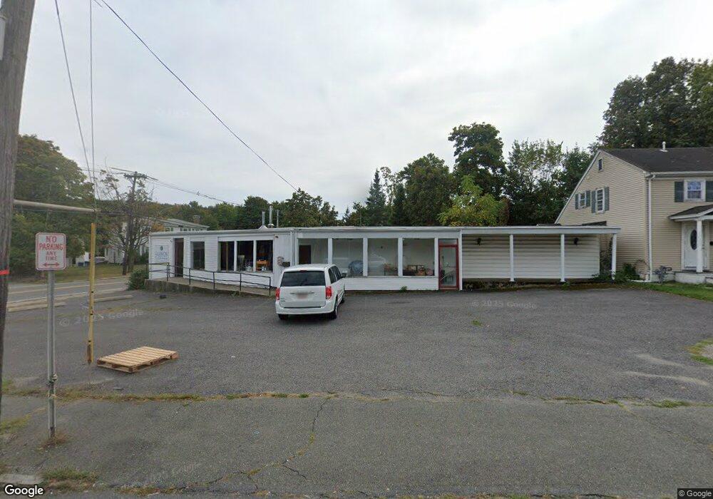
12 Centre Ave Unit 1 Rockland, MA 02370
Estimated Value: $777,220
3
Beds
1
Bath
1,500
Sq Ft
$518/Sq Ft
Est. Value
About This Home
This home is located at 12 Centre Ave Unit 1, Rockland, MA 02370 and is currently estimated at $777,220, approximately $518 per square foot. 12 Centre Ave Unit 1 is a home located in Plymouth County with nearby schools including Rockland Senior High School.
Ownership History
Date
Name
Owned For
Owner Type
Purchase Details
Closed on
Sep 16, 2013
Sold by
Ross Thomas A and Ross Kristin M
Bought by
Shahi Llc
Current Estimated Value
Home Financials for this Owner
Home Financials are based on the most recent Mortgage that was taken out on this home.
Original Mortgage
$250,000
Outstanding Balance
$186,779
Interest Rate
4.43%
Mortgage Type
Commercial
Estimated Equity
$590,441
Purchase Details
Closed on
Feb 23, 2005
Sold by
Welch Carol J
Bought by
Ross Thoams A and Ross Kristin M
Home Financials for this Owner
Home Financials are based on the most recent Mortgage that was taken out on this home.
Original Mortgage
$270,000
Interest Rate
5.73%
Mortgage Type
Commercial
Create a Home Valuation Report for This Property
The Home Valuation Report is an in-depth analysis detailing your home's value as well as a comparison with similar homes in the area
Home Values in the Area
Average Home Value in this Area
Purchase History
| Date | Buyer | Sale Price | Title Company |
|---|---|---|---|
| Shahi Llc | $355,000 | -- | |
| Ross Thoams A | $360,000 | -- |
Source: Public Records
Mortgage History
| Date | Status | Borrower | Loan Amount |
|---|---|---|---|
| Open | Shahi Llc | $250,000 | |
| Previous Owner | Ross Thoams A | $270,000 | |
| Previous Owner | Ross Thoams A | $35,000 |
Source: Public Records
Map
Nearby Homes
- 215 Market St
- 225 W Water St
- 103 Grove St Unit 349
- 103 Grove St Unit 317
- 135 Grove St Unit 115
- 135 Grove St Unit 110
- 135 Grove St Unit 133
- 119 Grove St Unit 238
- 119 Grove St Unit 223
- 12 Linden St
- 50 Linden Park
- 340 Centre Ave Unit 44
- 5 Pat Rose Way
- 9 Pat Rose Way
- 8 Pat Rose Way
- 7 Carlys Way
- 92 Liberty St
- 103 Reed St
- 49 Liberty St
- 46 Carey St
Your Personal Tour Guide
Ask me questions while you tour the home.