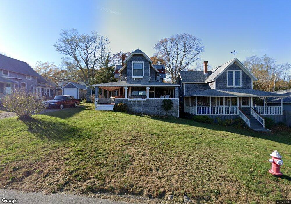
12 Chapman Ave Vineyard Haven, MA 02568
Oak Bluffs NeighborhoodEstimated Value: $1,524,000 - $1,913,000
5
Beds
1
Bath
1,551
Sq Ft
$1,129/Sq Ft
Est. Value
About This Home
This home is located at 12 Chapman Ave, Vineyard Haven, MA 02568 and is currently estimated at $1,750,719, approximately $1,128 per square foot. 12 Chapman Ave is a home located in Dukes County with nearby schools including Oak Bluffs Elementary School, Martha's Vineyard Regional High School, and Vineyard Montessori School.
Ownership History
Date
Name
Owned For
Owner Type
Purchase Details
Closed on
Dec 10, 2004
Sold by
Breithack-Ray Mary
Bought by
Leatherbee Robert S and Tilton Margaret C
Current Estimated Value
Home Financials for this Owner
Home Financials are based on the most recent Mortgage that was taken out on this home.
Original Mortgage
$400,000
Outstanding Balance
$198,985
Interest Rate
5.63%
Mortgage Type
Purchase Money Mortgage
Estimated Equity
$1,551,734
Create a Home Valuation Report for This Property
The Home Valuation Report is an in-depth analysis detailing your home's value as well as a comparison with similar homes in the area
Home Values in the Area
Average Home Value in this Area
Purchase History
| Date | Buyer | Sale Price | Title Company |
|---|---|---|---|
| Leatherbee Robert S | $650,000 | -- |
Source: Public Records
Mortgage History
| Date | Status | Borrower | Loan Amount |
|---|---|---|---|
| Open | Leatherbee Robert S | $400,000 | |
| Closed | Leatherbee Robert S | $17,000 |
Source: Public Records
Tax History
| Year | Tax Paid | Tax Assessment Tax Assessment Total Assessment is a certain percentage of the fair market value that is determined by local assessors to be the total taxable value of land and additions on the property. | Land | Improvement |
|---|---|---|---|---|
| 2025 | $7,914 | $1,567,100 | $997,700 | $569,400 |
| 2024 | $7,588 | $1,450,800 | $906,700 | $544,100 |
| 2023 | $6,870 | $1,301,200 | $881,000 | $420,200 |
| 2022 | $6,569 | $967,400 | $648,500 | $318,900 |
| 2021 | $6,067 | $823,200 | $546,700 | $276,500 |
| 2020 | $5,784 | $777,400 | $520,700 | $256,700 |
| 2019 | $5,609 | $729,400 | $477,300 | $252,100 |
| 2018 | $5,479 | $699,700 | $448,300 | $251,400 |
| 2017 | $5,228 | $641,500 | $416,000 | $225,500 |
| 2016 | $5,077 | $626,000 | $428,800 | $197,200 |
| 2015 | $4,879 | $612,900 | $428,800 | $184,100 |
| 2014 | $4,738 | $606,700 | $418,300 | $188,400 |
Source: Public Records
Map
Nearby Homes
- 35 New York Ave
- 12 & 14 Maple Ave
- 25 Hampson Ave
- 10 Siloam Ave
- 24 School St
- 2 Lincoln Ave
- 24 Towanticut Ave Unit 188
- 1 Cottage Park
- 33 Ocean Ave
- 6 Brewster Ave
- 112 Dukes County Ave
- 113 Dukes County Ave Unit Multi-Family
- 150 E Chop Dr
- 26 Winthrop Ave
- 38 Rogers Way
- 181 Circuit Ave
- 50 Canonicus Ave
- 5 Temahigan Ave Unit 4-139-0
- 0 Heather Ln Unit 11 43465
- 70 Carol Ln
Your Personal Tour Guide
Ask me questions while you tour the home.