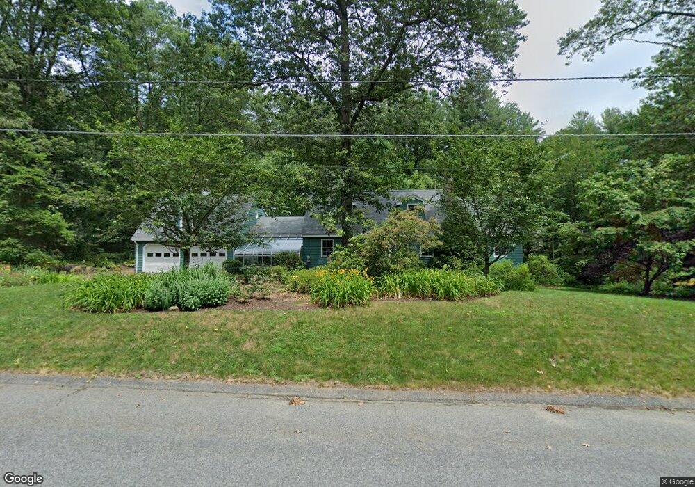
12 Christopher Rd Westford, MA 01886
Estimated Value: $856,000 - $906,000
2
Beds
3
Baths
2,390
Sq Ft
$368/Sq Ft
Est. Value
About This Home
This home is located at 12 Christopher Rd, Westford, MA 01886 and is currently estimated at $880,413, approximately $368 per square foot. 12 Christopher Rd is a home located in Middlesex County with nearby schools including Col John Robinson, John A. Crisafulli Elementary School, and Blanchard Middle School.
Ownership History
Date
Name
Owned For
Owner Type
Purchase Details
Closed on
Mar 27, 2025
Sold by
Greenwood Darryl P and Greenwood Margaret A
Bought by
Greenwood Ft and Greenwood
Current Estimated Value
Purchase Details
Closed on
Feb 26, 2021
Sold by
Margaret Ann Greenwood Lt
Bought by
Greenwood Margaret A and Greenwood Darryl P
Purchase Details
Closed on
Jan 6, 2014
Sold by
Greenwood Margaret A
Bought by
Margaret A Greenwood L
Purchase Details
Closed on
Jan 22, 2008
Sold by
Greenwood Darryl P and Greenwood Margaret A
Bought by
Greenwood Margaret A
Create a Home Valuation Report for This Property
The Home Valuation Report is an in-depth analysis detailing your home's value as well as a comparison with similar homes in the area
Home Values in the Area
Average Home Value in this Area
Purchase History
| Date | Buyer | Sale Price | Title Company |
|---|---|---|---|
| Greenwood Ft | -- | None Available | |
| Greenwood Ft | -- | None Available | |
| Greenwood Margaret A | -- | None Available | |
| Greenwood Margaret A | -- | None Available | |
| Margaret A Greenwood L | -- | -- | |
| Margaret A Greenwood L A | -- | -- | |
| Greenwood Margaret A | -- | -- | |
| Greenwood Margaret A | -- | -- |
Source: Public Records
Tax History Compared to Growth
Tax History
| Year | Tax Paid | Tax Assessment Tax Assessment Total Assessment is a certain percentage of the fair market value that is determined by local assessors to be the total taxable value of land and additions on the property. | Land | Improvement |
|---|---|---|---|---|
| 2025 | $9,517 | $706,500 | $320,900 | $385,600 |
| 2024 | $9,267 | $673,000 | $305,600 | $367,400 |
| 2023 | $9,089 | $615,800 | $291,200 | $324,600 |
| 2022 | $9,167 | $568,700 | $256,500 | $312,200 |
| 2021 | $20,394 | $513,800 | $256,500 | $257,300 |
| 2020 | $11,801 | $515,000 | $256,500 | $258,500 |
| 2019 | $8,114 | $490,000 | $256,500 | $233,500 |
| 2018 | $5,838 | $478,900 | $245,400 | $233,500 |
| 2017 | $7,327 | $446,500 | $245,400 | $201,100 |
| 2016 | $7,084 | $434,600 | $231,500 | $203,100 |
| 2015 | $7,053 | $434,300 | $231,500 | $202,800 |
| 2014 | $6,965 | $419,600 | $222,000 | $197,600 |
Source: Public Records
Map
Nearby Homes
- 8 Sandy Beach Rd
- 66 Patten Rd
- 16 Abbot St
- 1 Thistle Ln
- 4 Casie Ln
- 12 Patten Rd
- 5 Colonel Rolls Dr
- 1 Courtney Ln
- 125 Concord Rd
- Lot 6 Noble Path
- Lot 7 Noble Path
- 12 Brookfield Dr Unit A
- 222 Forge Village Rd
- 92 Jimney Dr
- 66 N Main St Unit 66
- 64 N Main St Unit 64
- 28 Graniteville Rd
- 36 Whitetail Way
- 3 Hillside Ave
- 10 Baldwin Hill Rd