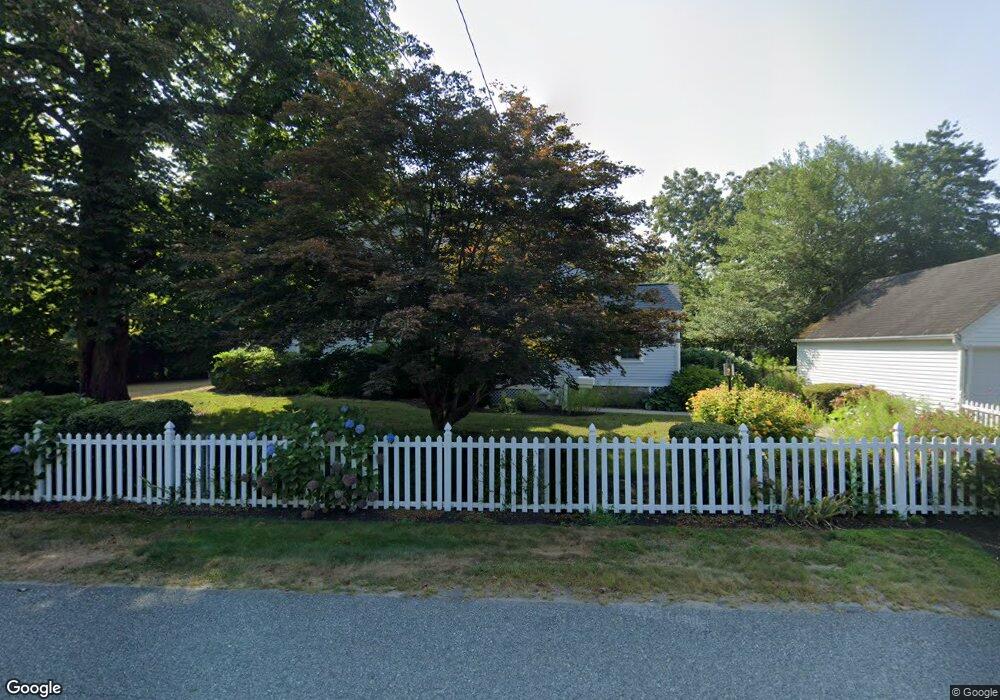
12 Christopher St South Kingstown, RI 02879
Estimated Value: $1,720,377
7
Beds
6
Baths
4,228
Sq Ft
$407/Sq Ft
Est. Value
About This Home
This home is located at 12 Christopher St, South Kingstown, RI 02879 and is currently priced at $1,720,377, approximately $406 per square foot. 12 Christopher St is a home located in Washington County with nearby schools including South Kingstown High School and Monsignor Matthew Clarke Catholic Regional School.
Ownership History
Date
Name
Owned For
Owner Type
Purchase Details
Closed on
Sep 30, 1998
Sold by
Margolis Leona
Bought by
Congregation Of Sister
Current Estimated Value
Purchase Details
Closed on
Aug 16, 1993
Sold by
Gaess William C and Gaess Dolores M
Bought by
Margolis Otto S and Margolis Leona
Home Financials for this Owner
Home Financials are based on the most recent Mortgage that was taken out on this home.
Original Mortgage
$300,000
Interest Rate
7.16%
Mortgage Type
Commercial
Create a Home Valuation Report for This Property
The Home Valuation Report is an in-depth analysis detailing your home's value as well as a comparison with similar homes in the area
Home Values in the Area
Average Home Value in this Area
Purchase History
| Date | Buyer | Sale Price | Title Company |
|---|---|---|---|
| Congregation Of Sister | $330,000 | -- | |
| Margolis Otto S | $230,000 | -- |
Source: Public Records
Mortgage History
| Date | Status | Borrower | Loan Amount |
|---|---|---|---|
| Previous Owner | Margolis Otto S | $300,000 |
Source: Public Records
Tax History Compared to Growth
Tax History
| Year | Tax Paid | Tax Assessment Tax Assessment Total Assessment is a certain percentage of the fair market value that is determined by local assessors to be the total taxable value of land and additions on the property. | Land | Improvement |
|---|---|---|---|---|
| 2025 | -- | $874,800 | $296,600 | $578,200 |
| 2024 | -- | $797,300 | $296,600 | $500,700 |
| 2023 | $0 | $797,300 | $296,600 | $500,700 |
| 2022 | $0 | $797,300 | $296,600 | $500,700 |
| 2021 | $0 | $640,700 | $257,000 | $383,700 |
| 2020 | $0 | $640,700 | $257,000 | $383,700 |
| 2019 | $0 | $640,700 | $257,000 | $383,700 |
| 2018 | $0 | $586,500 | $237,200 | $349,300 |
| 2017 | $0 | $586,500 | $237,200 | $349,300 |
| 2016 | -- | $586,500 | $237,200 | $349,300 |
| 2015 | -- | $552,800 | $237,200 | $315,600 |
| 2014 | -- | $552,800 | $237,200 | $315,600 |
Source: Public Records
Map
Nearby Homes
- 98 Meadow Ave
- 39 Hazard Ave
- 45 Cherry Ln Unit C
- 37 Columbia St
- 10 Hendricks St
- 38 Eisenhower Place
- 30 Sweet Meadows Ct Unit 26
- 156 River St Unit B
- 35 Whittier Dr
- 37 Whittier Dr
- 23 Rockland Dr
- 40 Amos St
- 48 Stone Bridge Dr
- 70 Broad Rock Rd
- 128 Camden Ct
- 3 Larkin St
- 47 Tuckertown Rd
- 128 Rodman St
- 73 Camden Ct
- 228 Rodman St
- 246 Woodruff Ave
- 6 Christopher St
- 34 Christopher St
- 238 Woodruff Ave
- 27 Christopher St
- 11 Christopher St
- 40 Christopher St
- 270 Woodruff Ave
- 5 Broadmoor Rd
- 13 Broadmoor Rd
- 43 Christopher St
- 23 Broadmoor Rd
- 280 Woodruff Ave
- 95 Normandy Rd
- 85 Normandy Rd
- 29 Broadmoor Rd
- 79 Normandy Rd
- 14 Silver Lake Ave
- 53 Christopher St
- 71 Normandy Rd