12 Clarke St Canaan, ME 04924
Estimated Value: $118,000 - $218,000
4
Beds
2
Baths
--
Sq Ft
1.37
Acres
About This Home
This home is located at 12 Clarke St, Canaan, ME 04924 and is currently estimated at $161,403. 12 Clarke St is a home located in Somerset County.
Ownership History
Date
Name
Owned For
Owner Type
Purchase Details
Closed on
Apr 4, 2013
Sold by
Batchelder Benjamin J
Bought by
Richards Ame L and Richards John J
Current Estimated Value
Purchase Details
Closed on
Dec 12, 2011
Sold by
Gould Richard B
Bought by
Batchelder Benjamin J
Purchase Details
Closed on
Dec 30, 2008
Sold by
Gould Richard B
Bought by
Depina Bruce M and Depina Sandra F
Home Financials for this Owner
Home Financials are based on the most recent Mortgage that was taken out on this home.
Original Mortgage
$61,500
Interest Rate
6.17%
Mortgage Type
Purchase Money Mortgage
Create a Home Valuation Report for This Property
The Home Valuation Report is an in-depth analysis detailing your home's value as well as a comparison with similar homes in the area
Home Values in the Area
Average Home Value in this Area
Purchase History
| Date | Buyer | Sale Price | Title Company |
|---|---|---|---|
| Richards Ame L | -- | -- | |
| Batchelder Benjamin J | -- | -- | |
| Depina Bruce M | -- | -- |
Source: Public Records
Mortgage History
| Date | Status | Borrower | Loan Amount |
|---|---|---|---|
| Previous Owner | Depina Bruce M | $61,500 |
Source: Public Records
Tax History Compared to Growth
Tax History
| Year | Tax Paid | Tax Assessment Tax Assessment Total Assessment is a certain percentage of the fair market value that is determined by local assessors to be the total taxable value of land and additions on the property. | Land | Improvement |
|---|---|---|---|---|
| 2024 | $1,189 | $112,200 | $32,300 | $79,900 |
| 2023 | $1,009 | $53,100 | $18,900 | $34,200 |
| 2022 | $876 | $53,100 | $18,900 | $34,200 |
| 2021 | $935 | $53,100 | $18,900 | $34,200 |
| 2020 | $903 | $53,100 | $18,900 | $34,200 |
| 2019 | $897 | $53,100 | $18,900 | $34,200 |
| 2018 | $866 | $53,100 | $18,900 | $34,200 |
| 2017 | $812 | $53,100 | $18,900 | $34,200 |
| 2016 | $770 | $53,100 | $18,900 | $34,200 |
| 2015 | $834 | $53,100 | $18,900 | $34,200 |
| 2014 | $850 | $53,100 | $18,900 | $34,200 |
| 2013 | -- | $53,100 | $18,900 | $34,200 |
Source: Public Records
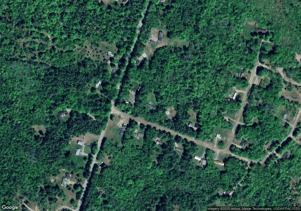
Map
Nearby Homes
- 13 Aspen Ln
- 376 Battle Ridge Rd
- Lot 52 Ella Gerald Rd
- 1107 Hill Rd
- 648 Battle Ridge Rd
- TBD Hillside Dr
- 777 Hinckley Rd
- 22 Tobey Rd
- 10 Bush Rd
- 289 Main St
- 910 Mutton Ln
- 236 Main St
- Lot31 Johnson Flat Rd
- 420 Main St
- Lot 7 Oak Pond Rd
- Lot 6 Oak Pond Rd
- Lot 5 Oak Pond Rd
- Lot 4 Oak Pond Rd
- Lot 3 Oak Pond Rd
- Lot 2 Oak Pond Rd