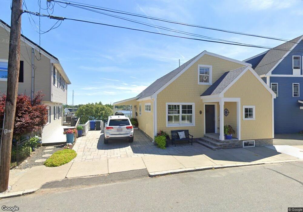
12 Cliff St Beverly, MA 01915
Downtown Beverly NeighborhoodEstimated Value: $829,000 - $1,201,000
2
Beds
3
Baths
1,614
Sq Ft
$627/Sq Ft
Est. Value
About This Home
This home is located at 12 Cliff St, Beverly, MA 01915 and is currently estimated at $1,012,449, approximately $627 per square foot. 12 Cliff St is a home located in Essex County with nearby schools including Beverly High School, Salem Academy Charter School, and Mrs Alexander's School.
Ownership History
Date
Name
Owned For
Owner Type
Purchase Details
Closed on
Apr 10, 2025
Sold by
Barnes Delores and Barnes Robert L
Bought by
Barnes Ft and Barnes
Current Estimated Value
Purchase Details
Closed on
May 14, 2020
Sold by
Barnes Robert L
Bought by
Barnes Delores M and Barnes Robert L
Home Financials for this Owner
Home Financials are based on the most recent Mortgage that was taken out on this home.
Original Mortgage
$365,000
Interest Rate
3%
Mortgage Type
Adjustable Rate Mortgage/ARM
Purchase Details
Closed on
Apr 30, 2014
Sold by
12 Cliff Street Rt and Parker
Bought by
Barnes Robert L
Home Financials for this Owner
Home Financials are based on the most recent Mortgage that was taken out on this home.
Original Mortgage
$375,000
Interest Rate
4.32%
Mortgage Type
New Conventional
Purchase Details
Closed on
Oct 21, 1993
Sold by
Jaworski Walter and Jaworski John
Bought by
Jaworski Walter and Jaworski Leonard
Create a Home Valuation Report for This Property
The Home Valuation Report is an in-depth analysis detailing your home's value as well as a comparison with similar homes in the area
Home Values in the Area
Average Home Value in this Area
Purchase History
| Date | Buyer | Sale Price | Title Company |
|---|---|---|---|
| Barnes Ft | -- | None Available | |
| Barnes Ft | -- | None Available | |
| Barnes Ft | -- | None Available | |
| Barnes Delores M | -- | None Available | |
| Barnes Robert L | $475,000 | -- | |
| Barnes Robert | $475,000 | -- | |
| Jaworski Walter | $57,200 | -- | |
| Jaworski Walter D | $57,200 | -- |
Source: Public Records
Mortgage History
| Date | Status | Borrower | Loan Amount |
|---|---|---|---|
| Previous Owner | Barnes Delores M | $365,000 | |
| Previous Owner | Barnes Robert | $375,000 | |
| Previous Owner | Jaworski Walter D | $266,000 |
Source: Public Records
Tax History
| Year | Tax Paid | Tax Assessment Tax Assessment Total Assessment is a certain percentage of the fair market value that is determined by local assessors to be the total taxable value of land and additions on the property. | Land | Improvement |
|---|---|---|---|---|
| 2025 | $9,249 | $841,600 | $474,100 | $367,500 |
| 2024 | $8,854 | $788,400 | $420,900 | $367,500 |
| 2023 | $8,638 | $767,100 | $399,600 | $367,500 |
| 2022 | $8,816 | $724,400 | $356,900 | $367,500 |
| 2021 | $8,964 | $705,800 | $356,900 | $348,900 |
| 2020 | $8,479 | $660,900 | $312,000 | $348,900 |
| 2019 | $8,305 | $628,700 | $289,300 | $339,400 |
| 2018 | $8,190 | $602,200 | $289,300 | $312,900 |
| 2017 | $7,500 | $525,200 | $212,300 | $312,900 |
| 2016 | $7,546 | $524,400 | $212,300 | $312,100 |
Source: Public Records
Map
Nearby Homes
- 12 Summit Ave Unit 4
- 12 Cox Ct Unit PHA
- 21 Summit Ave Unit 1
- 16 School St Unit 3
- 42 1/2 Cabot St
- 50 Rantoul St Unit 204S
- 60 Rantoul St Unit 604N
- 60 Rantoul St Unit 708N
- 60 Rantoul St Unit 114N
- 109 Water St Unit 404
- 40 Railroad Ave Unit B2
- 4 Bass St
- 123 Livingstone Ave
- 125 Livingstone Ave
- 64 Livingstone Ave
- 24 Franklin Place
- 35 Felt St
- 21 Thorndike St Unit 4
- 9 Parkview Ave
- 11 Barton St
Your Personal Tour Guide
Ask me questions while you tour the home.