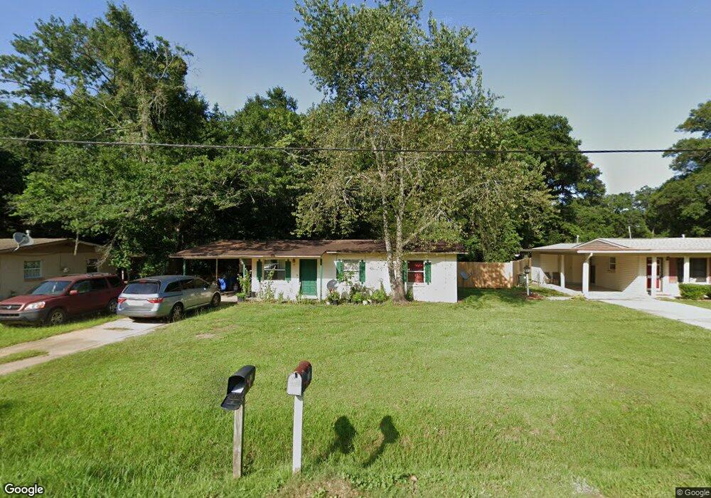
12 Clyde St Pensacola, FL 32503
Estimated Value: $131,437 - $178,000
--
Bed
1
Bath
925
Sq Ft
$166/Sq Ft
Est. Value
About This Home
This home is located at 12 Clyde St, Pensacola, FL 32503 and is currently estimated at $153,859, approximately $166 per square foot. 12 Clyde St is a home located in Escambia County with nearby schools including Ensley Elementary School, Ferry Pass Middle School, and Pine Forest High School.
Ownership History
Date
Name
Owned For
Owner Type
Purchase Details
Closed on
Nov 5, 2018
Sold by
Brown David A
Bought by
Vanarb David J and Vanarb Briana L
Current Estimated Value
Purchase Details
Closed on
Jul 23, 2014
Sold by
Welsh Theodore L and Welsh Gail M
Bought by
Brown David A
Purchase Details
Closed on
Nov 3, 1998
Sold by
1St Amer Bk Of Pensacola N A
Bought by
Welsh Theodore L and Welsh Gail M
Home Financials for this Owner
Home Financials are based on the most recent Mortgage that was taken out on this home.
Original Mortgage
$70
Interest Rate
6.65%
Create a Home Valuation Report for This Property
The Home Valuation Report is an in-depth analysis detailing your home's value as well as a comparison with similar homes in the area
Home Values in the Area
Average Home Value in this Area
Purchase History
| Date | Buyer | Sale Price | Title Company |
|---|---|---|---|
| Vanarb David J | $25,000 | Attorney | |
| Brown David A | $675,000 | Attorney | |
| Welsh Theodore L | $25,000 | -- |
Source: Public Records
Mortgage History
| Date | Status | Borrower | Loan Amount |
|---|---|---|---|
| Previous Owner | Welsh Theodore L | $70 |
Source: Public Records
Tax History Compared to Growth
Tax History
| Year | Tax Paid | Tax Assessment Tax Assessment Total Assessment is a certain percentage of the fair market value that is determined by local assessors to be the total taxable value of land and additions on the property. | Land | Improvement |
|---|---|---|---|---|
| 2024 | $1,008 | $77,010 | $8,050 | $68,960 |
| 2023 | $1,008 | $63,747 | $0 | $0 |
| 2022 | $934 | $63,997 | $5,750 | $58,247 |
| 2021 | $862 | $53,866 | $0 | $0 |
| 2020 | $778 | $47,895 | $0 | $0 |
| 2019 | $745 | $45,085 | $0 | $0 |
| 2018 | $718 | $42,276 | $0 | $0 |
| 2017 | $686 | $39,115 | $0 | $0 |
| 2016 | $702 | $39,576 | $0 | $0 |
| 2015 | $719 | $41,821 | $0 | $0 |
| 2014 | $480 | $26,275 | $0 | $0 |
Source: Public Records
Map
Nearby Homes
- 7117 Dale St
- 7116 Dale St
- 6208 Brosnaham Ave
- 112 Myrtlewood Dr
- 6970 Rhoda St
- 6206 Lucy St
- 142 W Burgess Rd
- 7000 Forshalee St
- 6122 Trent St
- 176 Creekview Dr
- 6802 Tiki Ln
- 112 Redbreast Ln
- 16 Whitehead Dr
- 129 Redbreast Ln
- 6235 Confederate Dr
- 6269 Confederate Dr
- 6220 Appomattox Dr
- 416 Cornwall Cir
- 110 Gettysburg Dr
- 6337 Parakeet Trail