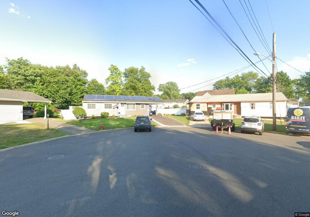
12 Colby Ct Parlin, NJ 08859
Estimated Value: $463,423 - $535,000
3
Beds
2
Baths
1,100
Sq Ft
$457/Sq Ft
Est. Value
About This Home
This home is located at 12 Colby Ct, Parlin, NJ 08859 and is currently estimated at $502,856, approximately $457 per square foot. 12 Colby Ct is a home located in Middlesex County with nearby schools including Old Bridge High School and New Road School of Parlin.
Ownership History
Date
Name
Owned For
Owner Type
Purchase Details
Closed on
Oct 7, 2021
Sold by
Hausler Kayla and Torok Richard
Bought by
Torok Richard and Torok Kayla
Current Estimated Value
Home Financials for this Owner
Home Financials are based on the most recent Mortgage that was taken out on this home.
Original Mortgage
$320,000
Outstanding Balance
$291,810
Interest Rate
2.8%
Mortgage Type
New Conventional
Estimated Equity
$211,046
Purchase Details
Closed on
May 26, 2011
Sold by
Riebesell Dennis and Riebessell Stacey
Bought by
Torok Richard and Hausler Kayla
Home Financials for this Owner
Home Financials are based on the most recent Mortgage that was taken out on this home.
Original Mortgage
$263,155
Interest Rate
4.85%
Mortgage Type
FHA
Purchase Details
Closed on
Mar 27, 1995
Sold by
Federal National Mortgage Association
Bought by
Riebesell Denis and Riebesell Stacey
Home Financials for this Owner
Home Financials are based on the most recent Mortgage that was taken out on this home.
Original Mortgage
$115,000
Interest Rate
8.36%
Create a Home Valuation Report for This Property
The Home Valuation Report is an in-depth analysis detailing your home's value as well as a comparison with similar homes in the area
Home Values in the Area
Average Home Value in this Area
Purchase History
| Date | Buyer | Sale Price | Title Company |
|---|---|---|---|
| Torok Richard | -- | None Listed On Document | |
| Torok Richard | $270,000 | Fidelity Natl Title Ins Co | |
| Riebesell Denis | $121,000 | -- |
Source: Public Records
Mortgage History
| Date | Status | Borrower | Loan Amount |
|---|---|---|---|
| Open | Torok Richard | $320,000 | |
| Closed | Torok Richard | $320,000 | |
| Previous Owner | Torok Richard | $263,155 | |
| Previous Owner | Riebesell Denis | $115,000 |
Source: Public Records
Tax History Compared to Growth
Tax History
| Year | Tax Paid | Tax Assessment Tax Assessment Total Assessment is a certain percentage of the fair market value that is determined by local assessors to be the total taxable value of land and additions on the property. | Land | Improvement |
|---|---|---|---|---|
| 2025 | $7,171 | $121,900 | $54,800 | $67,100 |
| 2024 | $6,897 | $121,900 | $54,800 | $67,100 |
| 2023 | $6,897 | $121,900 | $54,800 | $67,100 |
| 2022 | $6,742 | $121,900 | $54,800 | $67,100 |
| 2021 | $6,616 | $121,900 | $54,800 | $67,100 |
| 2020 | $6,535 | $121,900 | $54,800 | $67,100 |
| 2019 | $6,429 | $121,900 | $54,800 | $67,100 |
| 2018 | $6,361 | $121,900 | $54,800 | $67,100 |
| 2017 | $6,169 | $121,900 | $54,800 | $67,100 |
| 2016 | $6,054 | $121,900 | $54,800 | $67,100 |
| 2015 | $5,944 | $121,900 | $54,800 | $67,100 |
| 2014 | $5,849 | $121,900 | $54,800 | $67,100 |
Source: Public Records
Map
Nearby Homes
- 11 Dartmouth Rd
- 3010 Cheesequake Rd
- 0-0 Confidential Ave
- 41 Pinetree Dr
- 19 Cypress Dr
- 18 Pinetree Dr
- 33 Elm Terrace
- 107 Ernston Rd
- 48 Cedar Terrace
- 3 Campbell Dr
- 41 Kendall Dr
- 96 Brewster Cir
- 21 Becker Dr
- 1072 Bordentown Ave
- 90 Cori St
- 41 Oakwood Dr
- 20 Gillen Dr
- 7 Kenneth Ave
- 75 Woodmere Dr Unit 906
- 75 Woodmere Dr