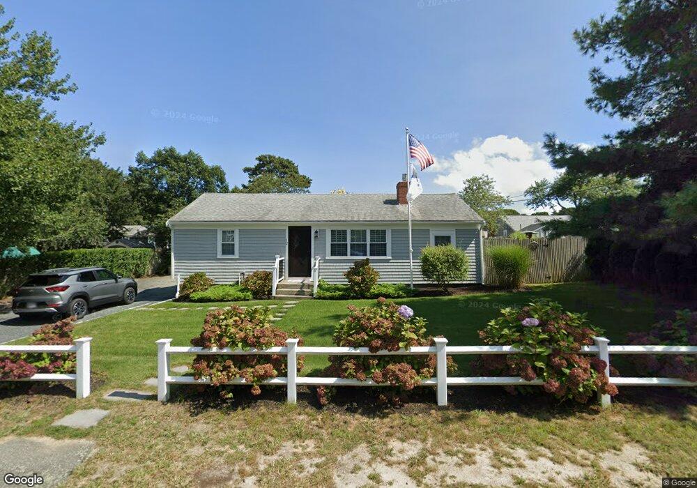
12 Colony Rd Dennis Port, MA 02639
Dennis Port NeighborhoodEstimated Value: $500,000 - $622,000
3
Beds
1
Bath
984
Sq Ft
$574/Sq Ft
Est. Value
About This Home
This home is located at 12 Colony Rd, Dennis Port, MA 02639 and is currently estimated at $565,171, approximately $574 per square foot. 12 Colony Rd is a home located in Barnstable County with nearby schools including Dennis-Yarmouth Regional High School and St. Pius X. School.
Ownership History
Date
Name
Owned For
Owner Type
Purchase Details
Closed on
Nov 17, 2010
Sold by
Silano Dolores A
Bought by
Kinney Steven
Current Estimated Value
Home Financials for this Owner
Home Financials are based on the most recent Mortgage that was taken out on this home.
Original Mortgage
$171,500
Outstanding Balance
$113,326
Interest Rate
4.3%
Mortgage Type
Purchase Money Mortgage
Estimated Equity
$451,845
Purchase Details
Closed on
May 21, 2001
Sold by
Keyes Edward B and Keyes Debra
Bought by
Silano Dolores A
Home Financials for this Owner
Home Financials are based on the most recent Mortgage that was taken out on this home.
Original Mortgage
$91,000
Interest Rate
7.03%
Mortgage Type
Purchase Money Mortgage
Purchase Details
Closed on
Sep 18, 1998
Sold by
Miller Grace C and Keyes Maryjane
Bought by
Keyes Edward B and Keyes Debra
Home Financials for this Owner
Home Financials are based on the most recent Mortgage that was taken out on this home.
Original Mortgage
$65,100
Interest Rate
6.9%
Mortgage Type
Purchase Money Mortgage
Create a Home Valuation Report for This Property
The Home Valuation Report is an in-depth analysis detailing your home's value as well as a comparison with similar homes in the area
Home Values in the Area
Average Home Value in this Area
Purchase History
| Date | Buyer | Sale Price | Title Company |
|---|---|---|---|
| Kinney Steven | $221,500 | -- | |
| Silano Dolores A | $143,000 | -- | |
| Keyes Edward B | $81,400 | -- |
Source: Public Records
Mortgage History
| Date | Status | Borrower | Loan Amount |
|---|---|---|---|
| Open | Kinney Steven | $171,500 | |
| Previous Owner | Silano Dolores A | $91,000 | |
| Previous Owner | Keyes Edward B | $65,100 |
Source: Public Records
Tax History Compared to Growth
Tax History
| Year | Tax Paid | Tax Assessment Tax Assessment Total Assessment is a certain percentage of the fair market value that is determined by local assessors to be the total taxable value of land and additions on the property. | Land | Improvement |
|---|---|---|---|---|
| 2025 | $2,207 | $509,800 | $197,000 | $312,800 |
| 2024 | $2,061 | $469,400 | $189,500 | $279,900 |
| 2023 | $1,993 | $426,700 | $172,200 | $254,500 |
| 2022 | $1,931 | $344,800 | $155,100 | $189,700 |
| 2021 | $1,989 | $329,900 | $173,800 | $156,100 |
| 2020 | $1,792 | $293,700 | $152,100 | $141,600 |
| 2019 | $1,696 | $274,900 | $149,100 | $125,800 |
| 2018 | $1,634 | $257,800 | $142,000 | $115,800 |
| 2017 | $1,500 | $243,900 | $131,800 | $112,100 |
| 2016 | $1,553 | $237,800 | $142,000 | $95,800 |
| 2015 | $1,522 | $237,800 | $142,000 | $95,800 |
| 2014 | $1,381 | $217,500 | $121,700 | $95,800 |
Source: Public Records
Map
Nearby Homes
- 19 Standish Way
- 4 Coffey Ln
- 71 Main St
- 125 Main St Unit 3
- 12 Spoonbill Rd
- 22 Wixon Rd
- 72 Bassett Ln
- 80 Michaels Ave
- 268 Main St
- 31 Easy St
- 95 Center St
- 15 Woodside Park Rd
- 26 Center St
- 78 Upper County Rd Unit A&B
- 78 Upper County Rd
- 20 Aunt Debbys Rd
- 3 Pinefield Ln
- 24 Indian Trail
- 12 Candlewood Ln Unit 2-9
- 61 Trotters Ln