12 Commodore's Way Kennebunk, ME 04043
Estimated Value: $1,789,071 - $2,088,000
4
Beds
8
Baths
3,041
Sq Ft
$642/Sq Ft
Est. Value
About This Home
This home is located at 12 Commodore's Way, Kennebunk, ME 04043 and is currently estimated at $1,952,018, approximately $641 per square foot. 12 Commodore's Way is a home located in York County with nearby schools including Kennebunk High School and The New School.
Ownership History
Date
Name
Owned For
Owner Type
Purchase Details
Closed on
Jul 10, 2019
Sold by
Fitzgerald Thomas J and Fitzgerald Lisa A
Bought by
Ditalia Jeffrey P and Howes Mary E
Current Estimated Value
Home Financials for this Owner
Home Financials are based on the most recent Mortgage that was taken out on this home.
Original Mortgage
$484,350
Outstanding Balance
$425,030
Interest Rate
3.9%
Mortgage Type
Purchase Money Mortgage
Estimated Equity
$1,526,988
Create a Home Valuation Report for This Property
The Home Valuation Report is an in-depth analysis detailing your home's value as well as a comparison with similar homes in the area
Home Values in the Area
Average Home Value in this Area
Purchase History
| Date | Buyer | Sale Price | Title Company |
|---|---|---|---|
| Ditalia Jeffrey P | -- | -- |
Source: Public Records
Mortgage History
| Date | Status | Borrower | Loan Amount |
|---|---|---|---|
| Open | Ditalia Jeffrey P | $484,350 |
Source: Public Records
Tax History
| Year | Tax Paid | Tax Assessment Tax Assessment Total Assessment is a certain percentage of the fair market value that is determined by local assessors to be the total taxable value of land and additions on the property. | Land | Improvement |
|---|---|---|---|---|
| 2024 | $13,641 | $804,800 | $199,200 | $605,600 |
| 2023 | $12,917 | $804,800 | $199,200 | $605,600 |
| 2022 | $11,750 | $804,800 | $199,200 | $605,600 |
| 2021 | $11,468 | $804,800 | $199,200 | $605,600 |
| 2020 | $11,388 | $804,800 | $199,200 | $605,600 |
| 2019 | $11,066 | $804,800 | $199,200 | $605,600 |
| 2018 | $10,563 | $603,600 | $149,400 | $454,200 |
| 2017 | $5,685 | $343,500 | $149,400 | $194,100 |
| 2016 | $1,188 | $74,700 | $74,700 | $0 |
| 2015 | $2,286 | $149,400 | $149,400 | $0 |
Source: Public Records
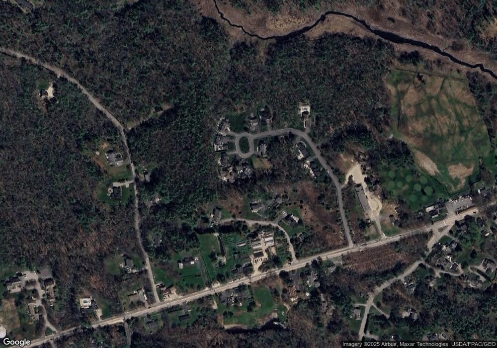
Map
Nearby Homes
- 87 Boothby Rd
- 12 Ephraim Tyler Way
- 16 Larboard Ln Unit 6
- Lot#39 Bufflehead Cove Ln
- 3 Breakwater Ct Unit 1
- 7 Christensen Ln
- 20 Surf Ln
- 22 River Locks Rd
- 12 Beach Ave
- 5 Lake Brook Dr
- 221 Beach Ave
- 14 Rachel Dr
- 5 Surrey Ln
- 143 Beach Ave Unit 205
- 143 Beach Ave Unit 203
- 2 Maine St Unit A
- 2 Maine St Unit B
- 18 Ledgewater Dr
- 60 Ocean Ave
- 5 School St
- 10 Commodore's Way
- 12 Commodores Way
- 10 Commodores Way
- 14 Commodore's Way
- 8 Commodore's Way
- 8 Commodore's Way
- 8 Commodores Way
- 7 Commodore's Way
- 16 Commodore's Way
- 17 Commodore's Way
- 11 Commodore's Way
- 7 Captain Sawyer Ln
- 15 Commodores Way
- 9 Commodore's Way
- 4 Commodore's Way
- 9 Captain Sawyer Ln
- 3 Captain Sawyer Ln
- Lot 5 Commodore's Way
- Lot 6 Commodore's Way
- Lot 2 Commodore's Way
Your Personal Tour Guide
Ask me questions while you tour the home.